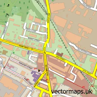
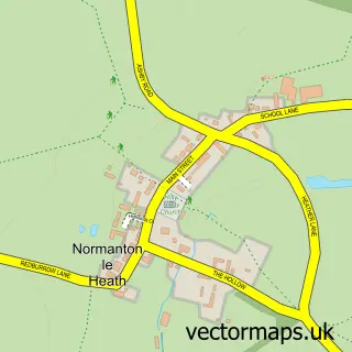
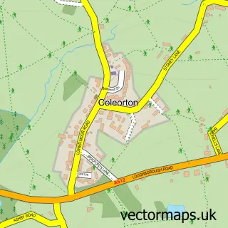
This Ravenstone street map is a detailed vector street map covering a 750m x 750m area. Select a larger area to create and download your own vector street map of Ravenstone.
The 750-metre map sample for Ravenstone covers 426 mapped buildings and approximately 20.5 km of road detail, of which 24 named roads are named. The immediate area includes 1 school, 2 GP surgeries within 2 miles and 11 MOT stations within 2 miles. The wider area around Ravenstone features 2 tourism points of interest and 1 campsite within 2 miles. To create a larger or custom map of Ravenstone, the map builder lets you define your own coverage area and download editable SVG, PDF and PNG files.
Create a larger editable map of Ravenstone
Choose any area you need and generate a high-quality vector map instantly. Perfect for print, planning, design, business and personal use.

This Ravenstone street map in Leicestershire is available as downloadable SVG, PDF and PNG map files, or as a printed map for planning, business, display, education, local information and design work. You can also create a larger custom map area using the map selector.
What this Ravenstone map sample shows
Ravenstone lies within Ravenstone With Snibstone Cp parish, part of Ravenstone & Packington ward in the North West Leicestershire District local authority area. The postcode geography for this area includes the LE postcode area, the LE67 postcode district and the LE67 2 postcode sector. Residents fall under the Nhs Leicester, Leicestershire And Rutland Integrated Care Board for NHS services.
Local features near Ravenstone
Within 2 milesAmenities and services in and around Ravenstone.
Administrative and postcode information for Ravenstone
The local authority covering Ravenstone is North West Leicestershire District, within the county of Leicestershire. The settlement lies within Ravenstone & Packington ward and Ravenstone With Snibstone Cp civil parish. The LE67 postcode district and LE67 2 postcode sector serve the immediate area. NHS provision in the area is delivered through University Hospitals Of Leicester Nhs Trust.
Nearby street map samples around Ravenstone

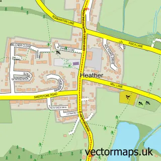
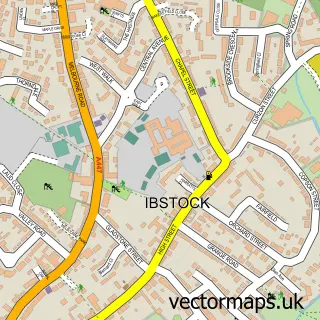
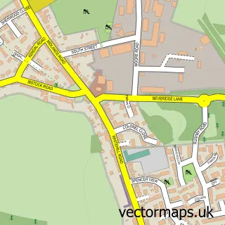
More street maps in Leicestershire
750 metre map area coverage
Boundary, postcode and point of interest information for the 750m x 750m rectangle centred on this sample map.
Boundaries containing map centre
Constituency: North West Leicestershire Co Const
County: Leicestershire County
District: North West Leicestershire District
Icb: NHS Leicester Leicestershire and Rutland ICB
Parish: Ravenstone with Snibstone CP
Police Force: leicestershire
Postcode District: LE67
Postcode Sector: LE67 2
Ward: Ravenstone & Packington Ward
Nearby boundaries intersecting sample
No additional intersecting boundaries found.
Postcode coverage
POI category counts
Currency Exchange: 2
Preschool: 2
Anglican Church: 1
Auto Body Shop: 1
Auto Loan Provider: 1
Automotive Services And Repair: 1
Bar: 1
Beauty Salon: 1
Bed And Breakfast: 1
Church Cathedral: 1
Sample points of interest
- Ravenstone: St Michael & All Angels
- RLB Dent Solutions
- Mortgage Gallery
- CMB International
- The Plough Inn
- Hollywood Aesthetics
- Ravenstone Guesthouse
- St Michael and All Angels Church
- Premier
- Post Office Travel Money
- Post Office-Ravenstone
- Embark Recruitment
Create a larger editable map of Ravenstone
This sample shows only a 750 metre area. To create a larger map of Ravenstone, use our map builder to choose your own coverage area, add titles and download editable SVG, PDF and PNG files.
Create a custom map of Ravenstone