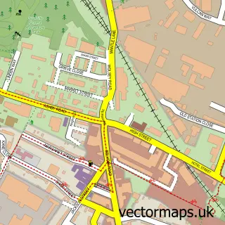
This Heather street map is a detailed vector street map covering a 750m x 750m area. Select a larger area to create and download your own vector street map of Heather.
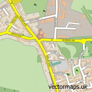
The 750-metre map sample for Heather covers 235 mapped buildings and approximately 15.9 km of road detail, of which 18 named roads are named. The immediate area includes 1 school, 1 GP surgery within 2 miles, 3 pubs and 1 MOT station, with 3 within 2 miles. The wider area around Heather features 1 tourism point of interest and 3 food and drink venues. To create a larger or custom map of Heather, the map builder lets you define your own coverage area and download editable SVG, PDF and PNG files.
Create a larger editable map of Heather
Choose any area you need and generate a high-quality vector map instantly. Perfect for print, planning, design, business and personal use.

This Heather street map in Leicestershire is available as downloadable SVG, PDF and PNG map files, or as a printed map for planning, business, display, education, local information and design work. You can also create a larger custom map area using the map selector.
What this Heather map sample shows
Heather lies within Heather Cp parish, part of Sence Valley ward in the North West Leicestershire District local authority area. The postcode geography for this area includes the LE postcode area, the LE67 postcode district and the LE67 2 postcode sector. Residents fall under the Nhs Leicester, Leicestershire And Rutland Integrated Care Board for NHS services.
Local features near Heather
Within 2 milesAmenities and services in and around Heather.
Administrative and postcode information for Heather
The local authority covering Heather is North West Leicestershire District, within the county of Leicestershire. The settlement lies within Sence Valley ward and Heather Cp civil parish. The LE67 postcode district and LE67 2 postcode sector serve the immediate area. NHS provision in the area is delivered through University Hospitals Of Leicester Nhs Trust.
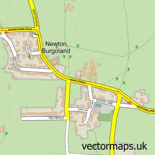
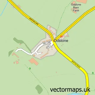
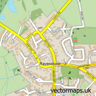
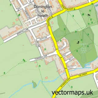
Nearby street map samples around Heather

More street maps in Leicestershire
750 metre map area coverage
Boundary, postcode and point of interest information for the 750m x 750m rectangle centred on this sample map.
Boundaries containing map centre
Constituency: North West Leicestershire Co Const
County: Leicestershire County
District: North West Leicestershire District
Icb: NHS Leicester Leicestershire and Rutland ICB
Parish: Heather CP
Police Force: leicestershire
Postcode District: LE67
Postcode Sector: LE67 2
Ward: Sence Valley Ward
Nearby boundaries intersecting sample
No additional intersecting boundaries found.
Postcode coverage
POI category counts
Automotive Repair: 3
Pub: 3
Courier And Delivery Services: 2
Anglican Church: 1
Auto Detailing: 1
Business Management Services: 1
Car Dealer: 1
Church Cathedral: 1
Elementary School: 1
Fire Protection Service: 1
Sample points of interest
- Heather: St John the Baptist
- Deep Shine Mobile Car Valeting & Detailing
- Caetano UK
- Richichi V
- The Motor Medics
- M & S Solicitors
- Stathams
- St John the Baptist Church
- Evri ParcelShop
- Evri ParcelShop
- Heather Primary School
- Century Electronic Security Ltd.
Create a larger editable map of Heather
This sample shows only a 750 metre area. To create a larger map of Heather, use our map builder to choose your own coverage area, add titles and download editable SVG, PDF and PNG files.
Create a custom map of Heather