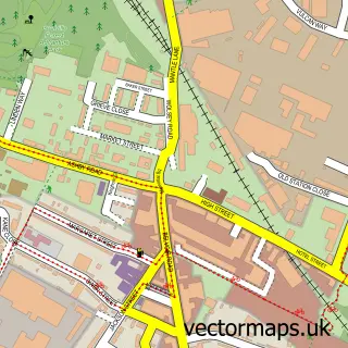
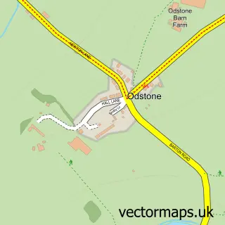
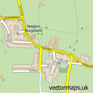
This Ibstock street map is a detailed vector street map covering a 750m x 750m area. Select a larger area to create and download your own vector street map of Ibstock.
The 750-metre map sample for Ibstock covers 605 mapped buildings and approximately 24.3 km of road detail, of which 42 named roads are named. The immediate area includes 2 primary schools and 1 secondary school, 1 GP surgery within 2 miles, 5 pubs and 5 MOT stations within 2 miles. The wider area around Ibstock features 1 tourism point of interest and 10 food and drink venues. To create a larger or custom map of Ibstock, the map builder lets you define your own coverage area and download editable SVG, PDF and PNG files.
Create a larger editable map of Ibstock
Choose any area you need and generate a high-quality vector map instantly. Perfect for print, planning, design, business and personal use.

This Ibstock street map in Leicestershire is available as downloadable SVG, PDF and PNG map files, or as a printed map for planning, business, display, education, local information and design work. You can also create a larger custom map area using the map selector.
What this Ibstock map sample shows
Ibstock lies within Ibstock Cp parish, part of Sence Valley ward in the North West Leicestershire District local authority area. The postcode geography for this area includes the LE postcode area, the LE67 postcode district and the LE67 6 postcode sector. Residents fall under the Nhs Leicester, Leicestershire And Rutland Integrated Care Board for NHS services.
Local features near Ibstock
Within 2 milesAmenities and services in and around Ibstock.
Administrative and postcode information for Ibstock
The local authority covering Ibstock is North West Leicestershire District, within the county of Leicestershire. The settlement lies within Sence Valley ward and Ibstock Cp civil parish. The LE67 postcode district and LE67 6 postcode sector serve the immediate area. NHS provision in the area is delivered through University Hospitals Of Leicester Nhs Trust.
Nearby street map samples around Ibstock

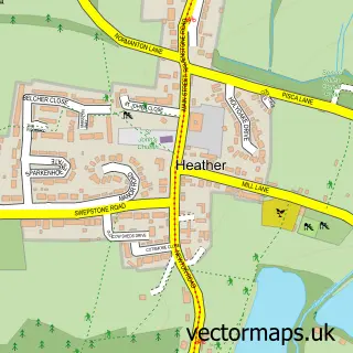
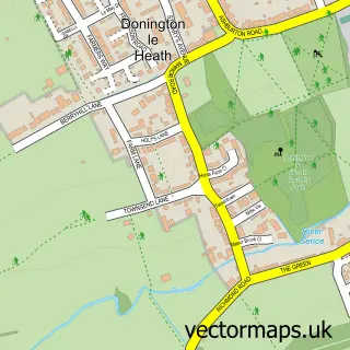
More street maps in Leicestershire
750 metre map area coverage
Boundary, postcode and point of interest information for the 750m x 750m rectangle centred on this sample map.
Boundaries containing map centre
Constituency: North West Leicestershire Co Const
County: Leicestershire County
District: North West Leicestershire District
Icb: NHS Leicester Leicestershire and Rutland ICB
Parish: Ibstock CP
Police Force: leicestershire
Postcode District: LE67
Postcode Sector: LE67 6
Ward: Ibstock East Ward
Nearby boundaries intersecting sample
Ward: Ibstock West Ward
Postcode coverage
POI category counts
Beauty Salon: 6
Professional Services: 5
Pub: 5
Arts And Entertainment: 3
Building Supply Store: 3
Hair Salon: 3
Restaurant: 3
Accountant: 2
Bar: 2
Cafe: 2
Sample points of interest
- Pinewood
- Bookkeeper Bob Ltd
- Lilley & Co
- Community Voice Magazines
- Highfield Cat Hotel
- Kanon Liquid Handling
- Richard John
- Ibstock Central
- The Central Bar & Gill Ibstock
- The Central Bar And Venue Ibstock
- Auto Spray Body Repairs
- Star Child
Create a larger editable map of Ibstock
This sample shows only a 750 metre area. To create a larger map of Ibstock, use our map builder to choose your own coverage area, add titles and download editable SVG, PDF and PNG files.
Create a custom map of Ibstock