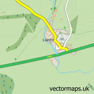
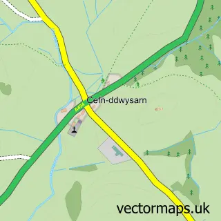
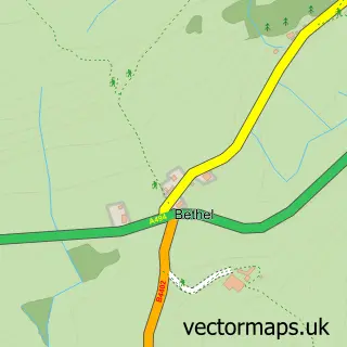
This Y Bala street map is a detailed vector street map covering a 750m x 750m area. Select a larger area to create and download your own vector street map of Y Bala.
The 750-metre map sample for Y Bala covers 378 mapped buildings and approximately 16.9 km of road detail, of which 26 named roads are named. The immediate area includes 1 school, 7 pubs and 3 MOT stations, with 4 within 2 miles. The wider area around Y Bala features 6 tourism points of interest, 17 food and drink venues and 6 hotels. To create a larger or custom map of Y Bala, the map builder lets you define your own coverage area and download editable SVG, PDF and PNG files.
Create a larger editable map of Y Bala
Choose any area you need and generate a high-quality vector map instantly. Perfect for print, planning, design, business and personal use.

This Y Bala street map in Gwynedd is available as downloadable SVG, PDF and PNG map files, or as a printed map for planning, business, display, education, local information and design work. You can also create a larger custom map area using the map selector.
What this Y Bala map sample shows
Y Bala lies within Bala Community parish, part of Bala ward in the Gwynedd - Gwynedd local authority area. The postcode geography for this area includes the LL postcode area, the LL23 postcode district and the LL23 7 postcode sector. Residents fall under the Betsi Cadwaladr University Health Board for NHS services.
Local features near Y Bala
Within 2 milesAmenities and services in and around Y Bala.
Administrative and postcode information for Y Bala
The local authority covering Y Bala is Gwynedd - Gwynedd, within the county of Gwynedd. The settlement lies within Bala ward and Bala Community civil parish. The LL23 postcode district and LL23 7 postcode sector serve the immediate area. NHS provision in the area is delivered through Betsi Cadwaladr University Health Board.
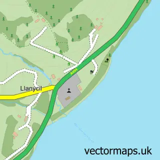
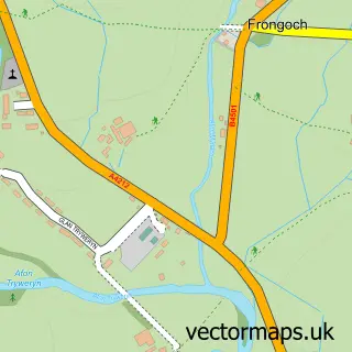
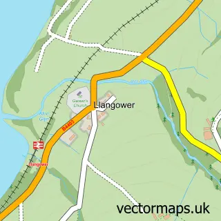
Nearby street map samples around Y Bala

More street maps in Gwynedd
750 metre map area coverage
Boundary, postcode and point of interest information for the 750m x 750m rectangle centred on this sample map.
Boundaries containing map centre
Constituency: Dwyfor Meirionnydd Co Const
District: Gwynedd - Gwynedd
Icb: Betsi Cadwaladr University
Parish: Bala Community
Police Force: north wales
Postcode District: LL23
Postcode Sector: LL23 7
Nearby boundaries intersecting sample
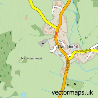
Parish: Llandderfel Community
Postcode coverage
POI category counts
Pub: 7
Hotel: 6
Convenience Store: 5
Beauty Salon: 4
Cafe: 4
Holiday Rental Home: 4
Butcher Shop: 3
Church Cathedral: 3
Coffee Shop: 3
Park: 3
Sample points of interest
- Hill & Roberts Ltd.
- The Get Wet Adventure Company
- Alex Psychic Medium
- Capel Hefin
- Capel Clay
- BR Spar Bala
- Activity North Wales
- Farmers Marts
- Principality Building Society Agency
- J J Motor Factors
- Williams Of Bala
- TechOutUK
Create a larger editable map of Y Bala
This sample shows only a 750 metre area. To create a larger map of Y Bala, use our map builder to choose your own coverage area, add titles and download editable SVG, PDF and PNG files.
Create a custom map of Y Bala