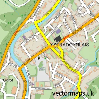
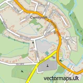
This Ystalyfera street map is a detailed vector street map covering a 750m x 750m area. Select a larger area to create and download your own vector street map of Ystalyfera.
The 750-metre map sample for Ystalyfera covers 344 mapped buildings and approximately 16.7 km of road detail, of which 29 named roads are named. The immediate area includes 1 school, 2 GP surgeries and 7 MOT stations within 2 miles. The wider area around Ystalyfera features 2 food and drink venues and 1 hotel. To create a larger or custom map of Ystalyfera, the map builder lets you define your own coverage area and download editable SVG, PDF and PNG files.
Create a larger editable map of Ystalyfera
Choose any area you need and generate a high-quality vector map instantly. Perfect for print, planning, design, business and personal use.

This Ystalyfera street map in West Glamorgan is available as downloadable SVG, PDF and PNG map files, or as a printed map for planning, business, display, education, local information and design work. You can also create a larger custom map area using the map selector.
What this Ystalyfera map sample shows
Ystalyfera lies within Ystalyfera Community parish, part of Ystalyfera ward in the Castell-Nedd Port Talbot - Neath Port Talbot local authority area. The postcode geography for this area includes the SA postcode area, the SA9 postcode district and the SA9 2 postcode sector. Residents fall under the Swansea Bay University Local Health Board for NHS services.
Local features near Ystalyfera
Within 2 milesAmenities and services in and around Ystalyfera.
Administrative and postcode information for Ystalyfera
Ystalyfera lies within Ystalyfera Community parish, part of Ystalyfera ward in the Castell-Nedd Port Talbot - Neath Port Talbot local authority area. The postcode geography for this area includes the SA postcode area, the SA9 postcode district and the SA9 2 postcode sector. Residents fall under the Swansea Bay University Local Health Board for NHS services.
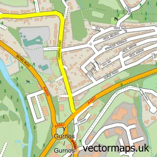
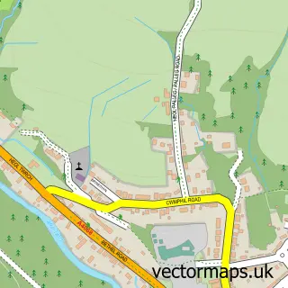
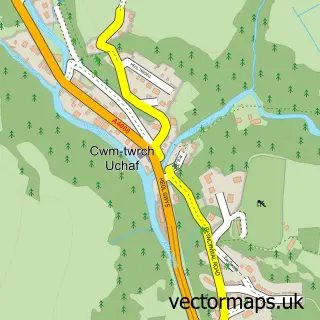
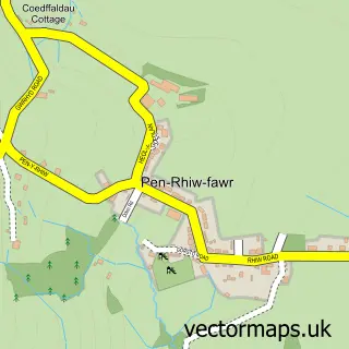
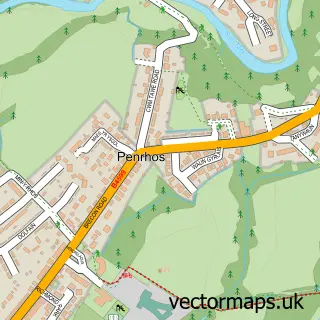
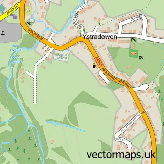
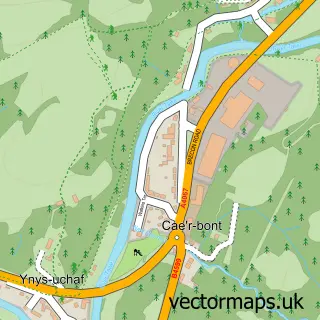
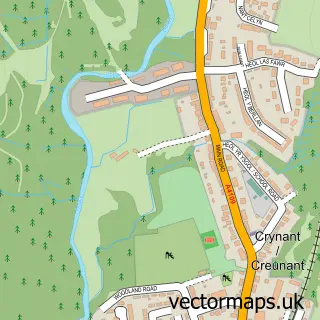
Nearby street map samples around Ystalyfera

More street maps in West Glamorgan

750 metre map area coverage
Boundary, postcode and point of interest information for the 750m x 750m rectangle centred on this sample map.
Boundaries containing map centre
Constituency: Brecon, Radnor and Cwm Tawe Co Const
District: Castell-nedd Port Talbot - Neath Port Talbot
Icb: Abertawe Bro Morgannwg University
Parish: Ystalyfera Community
Police Force: south wales
Postcode District: SA9
Postcode Sector: SA9 2
Nearby boundaries intersecting sample
District: Powys - Powys
Icb: Powys Teaching
Parish: Ystradgynlais Community
Police Force: dyfed-powys
Postcode coverage
POI category counts
Beauty Salon: 5
Convenience Store: 4
Charity Organization: 3
Hair Salon: 3
Home Cleaning: 3
Bakery: 2
Beauty And Spa: 2
Food Delivery Service: 2
Funeral Services And Cemeteries: 2
Furniture Store: 2
Sample points of interest
- St David's Church
- Enduro world Wales
- Kerrys Bakery
- Shake and Bake
- Brown's
- Mon Cheri by Megan Dermody
- Nirvana Nails and Beauty
- Beauty Room
- BeautyatBows
- By Katie Lou
- The Firm Beauty Salon
- bridal_braids
Create a larger editable map of Ystalyfera
This sample shows only a 750 metre area. To create a larger map of Ystalyfera, use our map builder to choose your own coverage area, add titles and download editable SVG, PDF and PNG files.
Create a custom map of Ystalyfera