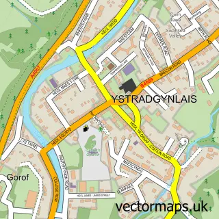
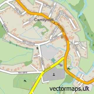
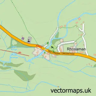
This Cwm-Twrch Uchaf street map is a detailed vector street map covering a 750m x 750m area. Select a larger area to create and download your own vector street map of Cwm-Twrch Uchaf.
The 750-metre map sample for Cwm-Twrch Uchaf covers 140 mapped buildings and approximately 7.4 km of road detail, of which 7 named roads are named. The immediate area includes 2 GP surgeries within 2 miles, 2 pubs and 1 MOT station, with 6 within 2 miles. The wider area around Cwm-Twrch Uchaf features 1 tourism point of interest, 2 food and drink venues and 1 hotel. To create a larger or custom map of Cwm-Twrch Uchaf, the map builder lets you define your own coverage area and download editable SVG, PDF and PNG files.
Create a larger editable map of Cwm-Twrch Uchaf
Choose any area you need and generate a high-quality vector map instantly. Perfect for print, planning, design, business and personal use.

This Cwm-Twrch Uchaf street map in Powys is available as downloadable SVG, PDF and PNG map files, or as a printed map for planning, business, display, education, local information and design work. You can also create a larger custom map area using the map selector.
What this Cwm-Twrch Uchaf map sample shows
Cwm-Twrch Uchaf lies within Ystradgynlais Community parish, part of Cwm-Twrch ward in the Powys - Powys local authority area. The postcode geography for this area includes the SA postcode area, the SA9 postcode district and the SA9 2 postcode sector. Residents fall under the Powys Teaching Health Board for NHS services.
Local features near Cwm-Twrch Uchaf
Within 2 milesAmenities and services in and around Cwm-Twrch Uchaf.
Administrative and postcode information for Cwm-Twrch Uchaf
The local authority covering Cwm-Twrch Uchaf is Powys - Powys, within the county of Powys. The settlement lies within Cwm-Twrch ward and Ystradgynlais Community civil parish. The SA9 postcode district and SA9 2 postcode sector serve the immediate area. NHS provision in the area is delivered through Powys Teaching Health Board.
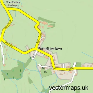
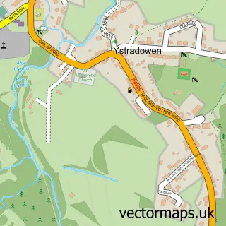
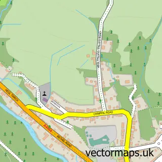
Nearby street map samples around Cwm-Twrch Uchaf

More street maps in Powys
750 metre map area coverage
Boundary, postcode and point of interest information for the 750m x 750m rectangle centred on this sample map.
Boundaries containing map centre
Constituency: Brecon, Radnor and Cwm Tawe Co Const
District: Powys - Powys
Icb: Powys Teaching
Parish: Ystradgynlais Community
Police Force: dyfed-powys
Postcode District: SA9
Postcode Sector: SA9 2
Nearby boundaries intersecting sample
Constituency: Caerfyrddin Co Const
District: Castell-nedd Port Talbot - Neath Port Talbot, Sir Gaerfyrddin - Carmarthenshire
Icb: Abertawe Bro Morgannwg University, Hywel Dda
Parish: Cwmllynfell Community, Quarter Bach Community
Police Force: south wales
Postcode coverage
POI category counts
Pub: 2
Bed And Breakfast: 1
Bridal Shop: 1
Ceiling Service: 1
Community Center: 1
Engineering Services: 1
Escape Rooms: 1
Gas Station: 1
Hair Salon: 1
Holiday Rental Home: 1
Sample points of interest
- The Old Tredegar
- Bob Grainger Photography
- TW Group (South Wales) Ltd.
- Cwmtwrch Miners Welfare Hall
- The PAT Tester
- Valley Escape
- Pentre Tygwyn Service Station
- Shine Hair Salon
- Glyn Cynwal Isaf Cottage
- Brynmorgan Villa
- CWM TWRCH Unchaf
- RL Rees
Create a larger editable map of Cwm-Twrch Uchaf
This sample shows only a 750 metre area. To create a larger map of Cwm-Twrch Uchaf, use our map builder to choose your own coverage area, add titles and download editable SVG, PDF and PNG files.
Create a custom map of Cwm-Twrch Uchaf