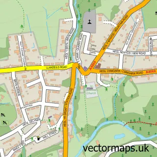
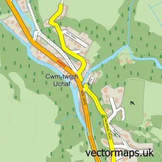
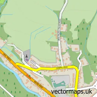
This Cefn-bryn-brain street map is a detailed vector street map covering a 750m x 750m area. Select a larger area to create and download your own vector street map of Cefn-bryn-brain.
The 750-metre map sample for Cefn-bryn-brain covers 111 mapped buildings and approximately 8.4 km of road detail, of which 5 named roads are named. The immediate area includes 1 GP surgery within 2 miles and 3 MOT stations within 2 miles. To create a larger or custom map of Cefn-bryn-brain, the map builder lets you define your own coverage area and download editable SVG, PDF and PNG files.
Create a larger editable map of Cefn-bryn-brain
Choose any area you need and generate a high-quality vector map instantly. Perfect for print, planning, design, business and personal use.

This Cefn-bryn-brain street map in Dyfed is available as downloadable SVG, PDF and PNG map files, or as a printed map for planning, business, display, education, local information and design work. You can also create a larger custom map area using the map selector.
What this Cefn-bryn-brain map sample shows
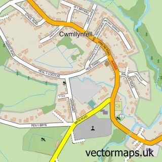
Cefn-bryn-brain lies within Cwmllynfell Community parish, part of Cwmllynfell ward in the Castell-Nedd Port Talbot - Neath Port Talbot local authority area. The postcode geography for this area includes the SA postcode area, the SA9 postcode district and the SA9 2 postcode sector. Residents fall under the Hywel Dda University Health Board for NHS services.
Local features near Cefn-bryn-brain
Within 2 milesAmenities and services in and around Cefn-bryn-brain.
Administrative and postcode information for Cefn-bryn-brain
The local authority covering Cefn-bryn-brain is Castell-Nedd Port Talbot - Neath Port Talbot, within the county of Dyfed. The settlement lies within Cwmllynfell ward and Cwmllynfell Community civil parish. The SA9 postcode district and SA9 2 postcode sector serve the immediate area. NHS provision in the area is delivered through Swansea Bay University Health Board.
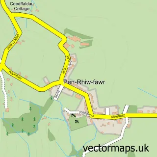
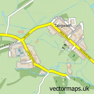
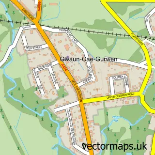
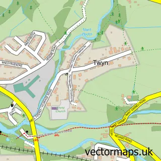
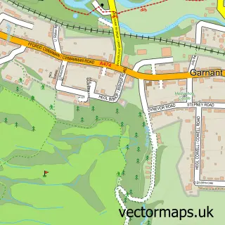
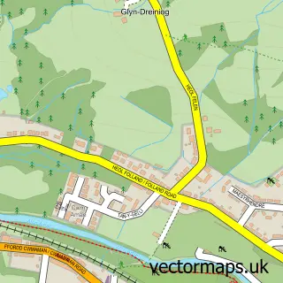
Nearby street map samples around Cefn-bryn-brain

More street maps in Dyfed
750 metre map area coverage
Boundary, postcode and point of interest information for the 750m x 750m rectangle centred on this sample map.
Boundaries containing map centre
Constituency: Caerfyrddin Co Const
District: Sir Gaerfyrddin - Carmarthenshire
Icb: Hywel Dda
Parish: Quarter Bach Community
Police Force: dyfed-powys
Postcode District: SA9
Postcode Sector: SA9 2
Nearby boundaries intersecting sample
Constituency: Brecon, Radnor and Cwm Tawe Co Const
District: Castell-nedd Port Talbot - Neath Port Talbot
Icb: Abertawe Bro Morgannwg University
Parish: Cwmllynfell Community, Gwaun-Cae-Gurwen Community
Police Force: south wales
Postcode District: SA18
Postcode Sector: SA18 1
Postcode coverage
POI category counts
Ambulance And Ems Services: 1
Arts And Entertainment: 1
Bathroom Remodeling: 1
Sample points of interest
- All Wales Ambulance Services Ltd
- Cefnbrynbrain
- P Kirby Bathroom & Kitchen Installations
Create a larger editable map of Cefn-bryn-brain
This sample shows only a 750 metre area. To create a larger map of Cefn-bryn-brain, use our map builder to choose your own coverage area, add titles and download editable SVG, PDF and PNG files.
Create a custom map of Cefn-bryn-brain