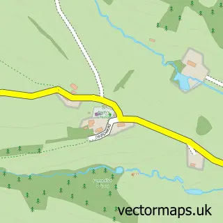
This Abbey Dore street map is a detailed vector street map covering a 750m x 750m area. Select a larger area to create and download your own vector street map of Abbey Dore.
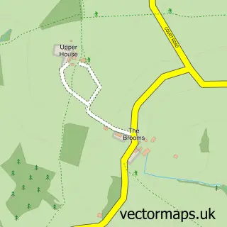
The 750-metre map sample for Abbey Dore covers 49 mapped buildings and approximately 25.4 km of road detail, of which 2 named roads are named. The immediate area includes 1 GP surgery within 2 miles and 2 MOT stations within 2 miles. The wider area around Abbey Dore features 2 tourism points of interest. To create a larger or custom map of Abbey Dore, the map builder lets you define your own coverage area and download editable SVG, PDF and PNG files.
Create a larger editable map of Abbey Dore
Choose any area you need and generate a high-quality vector map instantly. Perfect for print, planning, design, business and personal use.

This Abbey Dore street map in Herefordshire is available as downloadable SVG, PDF and PNG map files, or as a printed map for planning, business, display, education, local information and design work. You can also create a larger custom map area using the map selector.
What this Abbey Dore map sample shows
Abbey Dore lies within Abbey Dore Cp parish, part of Golden Valley South ward in the County Of Herefordshire local authority area. The postcode geography for this area includes the HR postcode area, the HR2 postcode district and the HR2 0 postcode sector. Residents fall under the Nhs Herefordshire And Worcestershire Integrated Care Board for NHS services.
Local features near Abbey Dore
Within 2 milesAmenities and services in and around Abbey Dore.
Administrative and postcode information for Abbey Dore
Abbey Dore lies within Abbey Dore Cp parish, part of Golden Valley South ward in the County Of Herefordshire local authority area. The postcode geography for this area includes the HR postcode area, the HR2 postcode district and the HR2 0 postcode sector. Residents fall under the Nhs Herefordshire And Worcestershire Integrated Care Board for NHS services.
Nearby street map samples around Abbey Dore

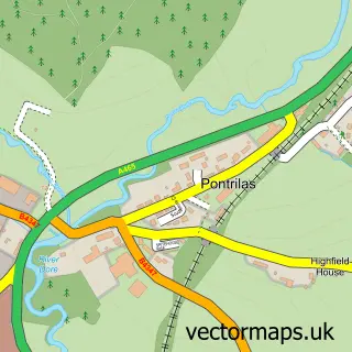
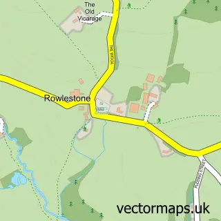
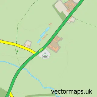
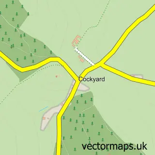
More street maps in Herefordshire
750 metre map area coverage
Boundary, postcode and point of interest information for the 750m x 750m rectangle centred on this sample map.
Boundaries containing map centre
Constituency: Hereford and South Herefordshire Co Const
District: County of Herefordshire
Icb: NHS Herefordshire and Worcestershire ICB
Parish: Abbey Dore CP
Police Force: west mercia
Postcode District: HR2
Postcode Sector: HR2 0
Ward: Golden Valley South Ward
Nearby boundaries intersecting sample
Parish: Dulas CP, Ewyas Harold CP
Postcode coverage
POI category counts
Bar: 1
Campground: 1
Community Services Non Profits: 1
Landmark And Historical Building: 1
Medical Center: 1
Personal Care Service: 1
Religious Organization: 1
Tree Services: 1
Sample points of interest
- The Neville Arms
- Pond and Beyond Glamping
- Abbeytots Playgroup
- Dore Abbey
- Abbeydore
- All Safety Matters Ltd.
- Dore Abbey
- Ethan J Watkins Forest & Arb
Create a larger editable map of Abbey Dore
This sample shows only a 750 metre area. To create a larger map of Abbey Dore, use our map builder to choose your own coverage area, add titles and download editable SVG, PDF and PNG files.
Create a custom map of Abbey Dore