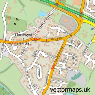
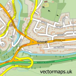
This Abergavenny street map is a detailed vector street map covering a 750m x 750m area. Select a larger area to create and download your own vector street map of Abergavenny.
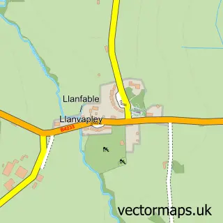
The 750-metre map sample for Abergavenny covers 340 mapped buildings and approximately 51.4 km of road detail, of which 36 named roads are named. The immediate area includes 9 pubs and 3 MOT stations, with 7 within 2 miles. The wider area around Abergavenny features 4 tourism points of interest, 40 food and drink venues and 5 hotels. To create a larger or custom map of Abergavenny, the map builder lets you define your own coverage area and download editable SVG, PDF and PNG files.
Create a larger editable map of Abergavenny
Choose any area you need and generate a high-quality vector map instantly. Perfect for print, planning, design, business and personal use.

This Abergavenny street map in Gwent is available as downloadable SVG, PDF and PNG map files, or as a printed map for planning, business, display, education, local information and design work. You can also create a larger custom map area using the map selector.
What this Abergavenny map sample shows
Abergavenny lies within Abergavenny Community parish, part of Priory ward in the Sir Fynwy - Monmouthshire local authority area. The postcode geography for this area includes the NP postcode area, the NP7 postcode district and the NP7 5 postcode sector. Residents fall under the Aneurin Bevan University Health Board for NHS services.
Local features near Abergavenny
Within 2 milesAmenities and services in and around Abergavenny.
Administrative and postcode information for Abergavenny
Abergavenny lies within Abergavenny Community parish, part of Priory ward in the Sir Fynwy - Monmouthshire local authority area. The postcode geography for this area includes the NP postcode area, the NP7 postcode district and the NP7 5 postcode sector. Residents fall under the Aneurin Bevan University Health Board for NHS services.
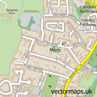
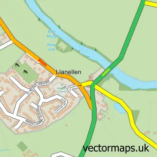
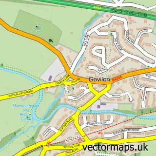
Nearby street map samples around Abergavenny

More street maps in Gwent
750 metre map area coverage
Boundary, postcode and point of interest information for the 750m x 750m rectangle centred on this sample map.
Boundaries containing map centre
Constituency: Monmouthshire Co Const
District: Sir Fynwy - Monmouthshire
Icb: Aneurin Bevan University
Parish: Abergavenny Community
Police Force: gwent
Postcode District: NP7
Postcode Sector: NP7 5
Nearby boundaries intersecting sample
No additional intersecting boundaries found.
Postcode coverage
POI category counts
Clothing Store: 20
Cafe: 14
Coffee Shop: 13
Beauty Salon: 12
Hair Salon: 11
Professional Services: 10
Automotive Repair: 9
Mobile Phone Store: 9
Pub: 9
Real Estate Agent: 9
Sample points of interest
- Progrotech Towers
- Ashmole & Co.
- Dorrell Oliver Chartered Accountants
- E H Accountancy
- Richmond Accountancy Services
- Jessica Draws Media
- Newwave Design
- Watson Designs
- Abergavenny Natural Therapy Centre
- Amatsu Centre
- Buck’s Pizza
- Abergavenny Anglican Churches Together
Create a larger editable map of Abergavenny
This sample shows only a 750 metre area. To create a larger map of Abergavenny, use our map builder to choose your own coverage area, add titles and download editable SVG, PDF and PNG files.
Create a custom map of Abergavenny