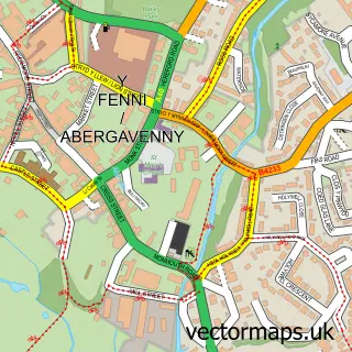
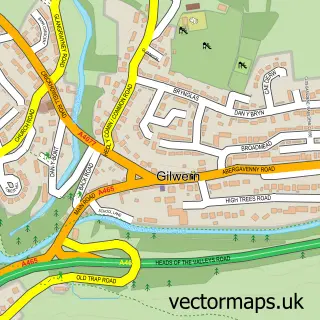
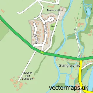
This Llanfoist street map is a detailed vector street map covering a 750m x 750m area. Select a larger area to create and download your own vector street map of Llanfoist.
The 750-metre map sample for Llanfoist covers 419 mapped buildings and approximately 48.5 km of road detail, of which 28 named roads are named. The immediate area includes 1 pub and 1 MOT station, with 7 within 2 miles. The wider area around Llanfoist features 1 tourism point of interest, 2 food and drink venues and 1 hotel. To create a larger or custom map of Llanfoist, the map builder lets you define your own coverage area and download editable SVG, PDF and PNG files.
Create a larger editable map of Llanfoist
Choose any area you need and generate a high-quality vector map instantly. Perfect for print, planning, design, business and personal use.

This Llanfoist street map in Gwent is available as downloadable SVG, PDF and PNG map files, or as a printed map for planning, business, display, education, local information and design work. You can also create a larger custom map area using the map selector.
What this Llanfoist map sample shows
Llanfoist lies within Llanfoist Fawr Community parish, part of Llanfoist Fawr ward in the Sir Fynwy - Monmouthshire local authority area. The postcode geography for this area includes the NP postcode area, the NP7 postcode district and the NP7 9 postcode sector. Residents fall under the Aneurin Bevan University Health Board for NHS services.
Local features near Llanfoist
Within 2 milesAmenities and services in and around Llanfoist.
Administrative and postcode information for Llanfoist
The local authority covering Llanfoist is Sir Fynwy - Monmouthshire, within the county of Gwent. The settlement lies within Llanfoist Fawr ward and Llanfoist Fawr Community civil parish. The NP7 postcode district and NP7 9 postcode sector serve the immediate area. NHS provision in the area is delivered through Aneurin Bevan University Health Board.
Nearby street map samples around Llanfoist

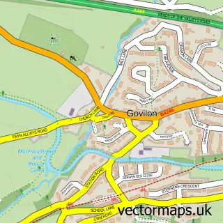
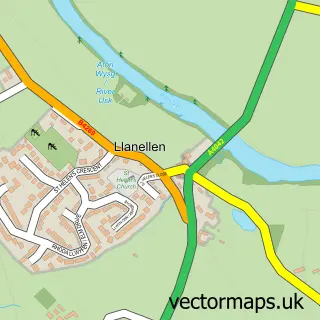
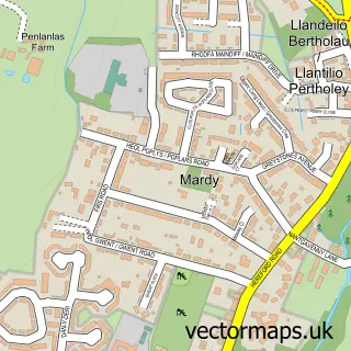
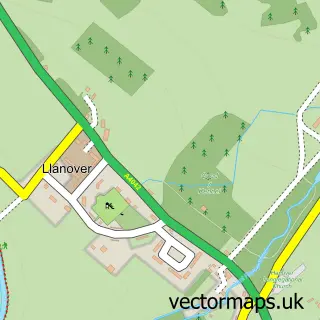
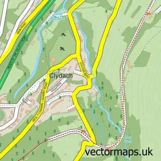
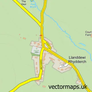
More street maps in Gwent
750 metre map area coverage
Boundary, postcode and point of interest information for the 750m x 750m rectangle centred on this sample map.
Boundaries containing map centre
Constituency: Monmouthshire Co Const
District: Sir Fynwy - Monmouthshire
Icb: Aneurin Bevan University
Parish: Llanfoist Fawr Community
Police Force: gwent
Postcode District: NP7
Postcode Sector: NP7 9
Nearby boundaries intersecting sample
No additional intersecting boundaries found.
Postcode coverage
POI category counts
Advertising Agency: 2
Building Supply Store: 2
Car Dealer: 2
Caterer: 2
Marketing Agency: 2
Medical Supply: 2
Nursery And Gardening: 2
Shipping Center: 2
Accountant: 1
Assisted Living Facility: 1
Sample points of interest
- Andersons Accountancy Services
- Barrie Evans Marketing
- Concept
- Foxhunters Care Community
- Spice Lounge
- Monmouthshire Golf Club Bar & Catering
- Gemma Thomas Hair Lounge
- Hair by Katie Byrne
- Jones Scaffolding
- Jones Scaffolding
- The Marketing Sparkie
- The Repair Cafe Abergavenny
Create a larger editable map of Llanfoist
This sample shows only a 750 metre area. To create a larger map of Llanfoist, use our map builder to choose your own coverage area, add titles and download editable SVG, PDF and PNG files.
Create a custom map of Llanfoist