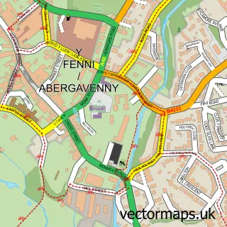
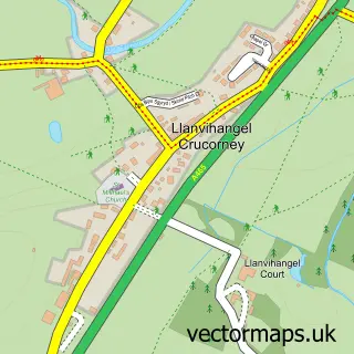
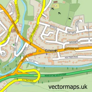
This Mardy street map is a detailed vector street map covering a 750m x 750m area. Select a larger area to create and download your own vector street map of Mardy.
The 750-metre map sample for Mardy covers 424 mapped buildings and approximately 39.2 km of road detail, of which 19 named roads are named. The immediate area includes 1 school, 1 pub and 7 MOT stations within 2 miles. The wider area around Mardy features 1 tourism point of interest, 2 food and drink venues and 1 campsite within 2 miles. To create a larger or custom map of Mardy, the map builder lets you define your own coverage area and download editable SVG, PDF and PNG files.
Create a larger editable map of Mardy
Choose any area you need and generate a high-quality vector map instantly. Perfect for print, planning, design, business and personal use.

This Mardy street map in Gwent is available as downloadable SVG, PDF and PNG map files, or as a printed map for planning, business, display, education, local information and design work. You can also create a larger custom map area using the map selector.
What this Mardy map sample shows
Mardy lies within Llantilio Pertholey Community parish, part of Mardy ward in the Sir Fynwy - Monmouthshire local authority area. The postcode geography for this area includes the NP postcode area, the NP7 postcode district and the NP7 6 postcode sector. Residents fall under the Aneurin Bevan University Health Board for NHS services.
Local features near Mardy
Within 2 milesAmenities and services in and around Mardy.
Administrative and postcode information for Mardy
Mardy lies within Llantilio Pertholey Community parish, part of Mardy ward in the Sir Fynwy - Monmouthshire local authority area. The postcode geography for this area includes the NP postcode area, the NP7 postcode district and the NP7 6 postcode sector. Residents fall under the Aneurin Bevan University Health Board for NHS services.
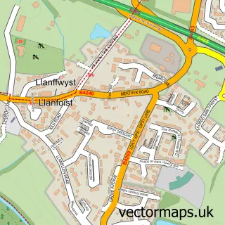
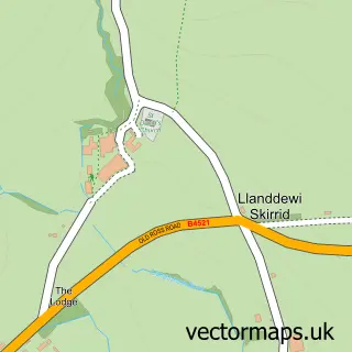
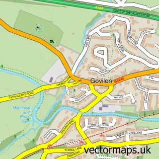
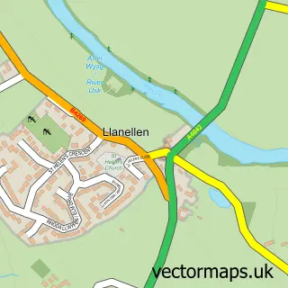
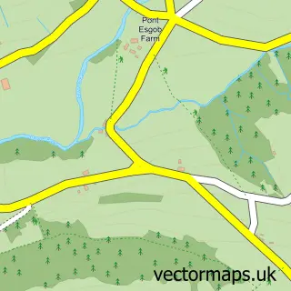
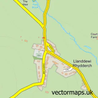
Nearby street map samples around Mardy

More street maps in Gwent
750 metre map area coverage
Boundary, postcode and point of interest information for the 750m x 750m rectangle centred on this sample map.
Boundaries containing map centre
Constituency: Monmouthshire Co Const
District: Sir Fynwy - Monmouthshire
Icb: Aneurin Bevan University
Parish: Llantilio Pertholey Community
Police Force: gwent
Postcode District: NP7
Postcode Sector: NP7 6
Nearby boundaries intersecting sample
Parish: Abergavenny Community
Postcode Sector: NP7 7
Postcode coverage
POI category counts
Convenience Store: 3
Home Developer: 2
Auto Detailing: 1
Bar: 1
Beauty And Spa: 1
Beauty Product Supplier: 1
Beauty Salon: 1
Building Supply Store: 1
Church Cathedral: 1
Dog Walkers: 1
Sample points of interest
- Autoshine Mobile Valeting and Detailing
- Crown & Sceptre Inn
- Lucy Hockey Hair Studio
- Clarins Claire Price Beauty Clinic Abergavenny
- Claire Price Beauty Clinic
- Niblett Architecture
- St Teilos Church
- Morrisons Daily
- SPAR
- Simply Fresh
- Watts Walks
- Gateway
Create a larger editable map of Mardy
This sample shows only a 750 metre area. To create a larger map of Mardy, use our map builder to choose your own coverage area, add titles and download editable SVG, PDF and PNG files.
Create a custom map of Mardy