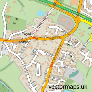
This Glangrwyney street map is a detailed vector street map covering a 750m x 750m area. Select a larger area to create and download your own vector street map of Glangrwyney.
The 750-metre map sample for Glangrwyney covers 117 mapped buildings and approximately 17.8 km of road detail, of which 2 named roads are named. The immediate area includes 2 pubs and 4 MOT stations within 2 miles. The wider area around Glangrwyney features 2 food and drink venues and 2 campsites within 2 miles. To create a larger or custom map of Glangrwyney, the map builder lets you define your own coverage area and download editable SVG, PDF and PNG files.
Create a larger editable map of Glangrwyney
Choose any area you need and generate a high-quality vector map instantly. Perfect for print, planning, design, business and personal use.

This Glangrwyney street map in Powys is available as downloadable SVG, PDF and PNG map files, or as a printed map for planning, business, display, education, local information and design work. You can also create a larger custom map area using the map selector.
What this Glangrwyney map sample shows
Glangrwyney lies within The Vale Of Grwyney Community parish, part of Crickhowell ward in the Powys - Powys local authority area. The postcode geography for this area includes the NP postcode area, the NP8 postcode district and the NP8 1 postcode sector. Residents fall under the Aneurin Bevan University Health Board for NHS services.
Local features near Glangrwyney
Within 2 milesAmenities and services in and around Glangrwyney.
Administrative and postcode information for Glangrwyney
Glangrwyney lies within The Vale Of Grwyney Community parish, part of Crickhowell ward in the Powys - Powys local authority area. The postcode geography for this area includes the NP postcode area, the NP8 postcode district and the NP8 1 postcode sector. Residents fall under the Aneurin Bevan University Health Board for NHS services.
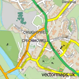
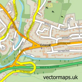
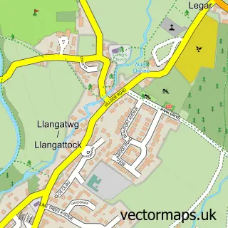
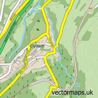
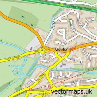
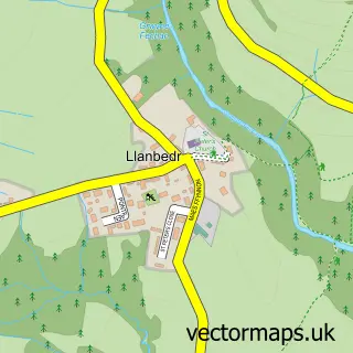
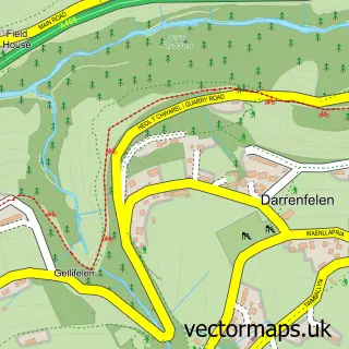
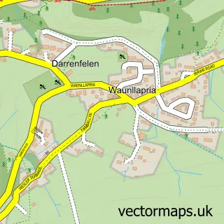
Nearby street map samples around Glangrwyney

More street maps in Powys
750 metre map area coverage
Boundary, postcode and point of interest information for the 750m x 750m rectangle centred on this sample map.
Boundaries containing map centre
Constituency: Brecon, Radnor and Cwm Tawe Co Const
District: Powys - Powys
Icb: Powys Teaching
Parish: The Vale of Grwyney Community
Police Force: dyfed-powys
Postcode District: NP8
Postcode Sector: NP8 1
Nearby boundaries intersecting sample
Constituency: Monmouthshire Co Const
District: Sir Fynwy - Monmouthshire
Parish: Llanelly Community
Police Force: gwent
Postcode District: NP7
Postcode Sector: NP7 0
Postcode coverage
POI category counts
Fabric Store: 2
Pub: 2
Bar: 1
Community Center: 1
Food Truck: 1
Inn: 1
Public And Government Association: 1
Youth Organizations: 1
Sample points of interest
- The Bell (Glangrwyny)
- Glangrwyney Village Hall
- Evergreen Blinds
- Evergreen Blinds
- Flamingo’s Snack Van
- The Bluebell Country Inn
- Dragon Head Inn Llangenny
- The Bell Country Pub
- Crickhowell Rugby
- Gwent & Powys a C F
Create a larger editable map of Glangrwyney
This sample shows only a 750 metre area. To create a larger map of Glangrwyney, use our map builder to choose your own coverage area, add titles and download editable SVG, PDF and PNG files.
Create a custom map of Glangrwyney