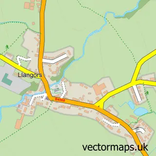
This Tretower street map is a detailed vector street map covering a 750m x 750m area. Select a larger area to create and download your own vector street map of Tretower.
The 750-metre map sample for Tretower covers 49 mapped buildings and approximately 41.1 km of road detail, of which 1 named road are named. The wider area around Tretower features 3 tourism points of interest, 2 food and drink venues and 1 campsite within 2 miles. To create a larger or custom map of Tretower, the map builder lets you define your own coverage area and download editable SVG, PDF and PNG files.
Create a larger editable map of Tretower
Choose any area you need and generate a high-quality vector map instantly. Perfect for print, planning, design, business and personal use.

This Tretower street map in Powys is available as downloadable SVG, PDF and PNG map files, or as a printed map for planning, business, display, education, local information and design work. You can also create a larger custom map area using the map selector.
What this Tretower map sample shows
Tretower lies within Cwmdu And District Community parish, part of Bwlch ward in the Powys - Powys local authority area. The postcode geography for this area includes the NP postcode area, the NP8 postcode district and the NP8 1 postcode sector. Residents fall under the Powys Teaching Health Board for NHS services.
Local features near Tretower
Within 2 milesAmenities and services in and around Tretower.
Administrative and postcode information for Tretower
The local authority covering Tretower is Powys - Powys, within the county of Powys. The settlement lies within Bwlch ward and Cwmdu And District Community civil parish. The NP8 postcode district and NP8 1 postcode sector serve the immediate area. NHS provision in the area is delivered through Powys Teaching Health Board.
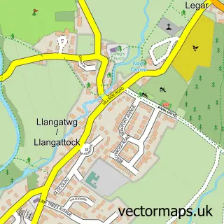
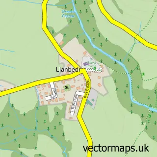
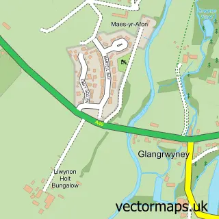
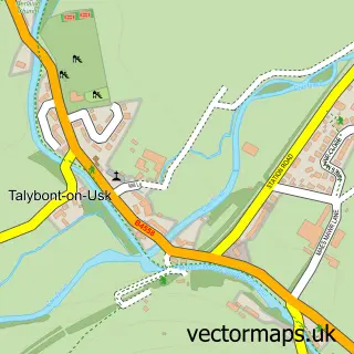
Nearby street map samples around Tretower
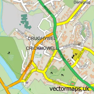

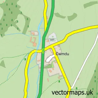
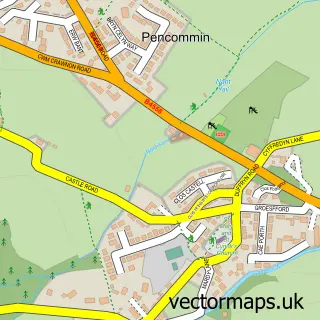
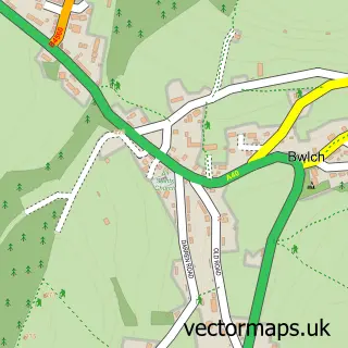
More street maps in Powys
750 metre map area coverage
Boundary, postcode and point of interest information for the 750m x 750m rectangle centred on this sample map.
Boundaries containing map centre
Constituency: Brecon, Radnor and Cwm Tawe Co Const
District: Powys - Powys
Icb: Powys Teaching
Parish: Cwmdu and District Community
Police Force: dyfed-powys
Postcode District: NP8
Postcode Sector: NP8 1
Nearby boundaries intersecting sample
No additional intersecting boundaries found.
Postcode coverage
POI category counts
Landmark And Historical Building: 2
Restaurant: 2
Automotive Repair: 1
Castle: 1
Educational Services: 1
Kids Recreation And Party: 1
Plumbing: 1
Topic Concert Venue: 1
Sample points of interest
- Mike Whiting Caravan Repairs
- Tretower Castle
- Dyslexia South Wales
- Tretower Court And Castle/ Llys a Chastell Tre-tŵr
- Llys a Chastell Tre-twr
- Tretower Court and Castle
- John Clay Plumbing and Heating
- Y Bwyty Bach
- Ybwytybach
- Tretower Castle Meadow
Create a larger editable map of Tretower
This sample shows only a 750 metre area. To create a larger map of Tretower, use our map builder to choose your own coverage area, add titles and download editable SVG, PDF and PNG files.
Create a custom map of Tretower