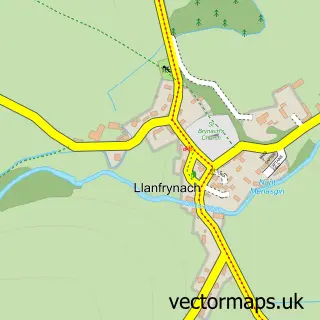
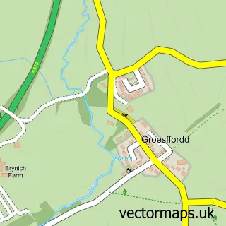
This Talybont-on-Usk street map is a detailed vector street map covering a 750m x 750m area. Select a larger area to create and download your own vector street map of Talybont-on-Usk.
The 750-metre map sample for Talybont-on-Usk covers 113 mapped buildings and approximately 39.1 km of road detail, of which 4 named roads are named. The immediate area includes 4 pubs and 1 MOT station. The wider area around Talybont-on-Usk features 4 tourism points of interest, 6 food and drink venues and 2 campsites within 2 miles. To create a larger or custom map of Talybont-on-Usk, the map builder lets you define your own coverage area and download editable SVG, PDF and PNG files.
Create a larger editable map of Talybont-on-Usk
Choose any area you need and generate a high-quality vector map instantly. Perfect for print, planning, design, business and personal use.

This Talybont-on-Usk street map in Powys is available as downloadable SVG, PDF and PNG map files, or as a printed map for planning, business, display, education, local information and design work. You can also create a larger custom map area using the map selector.
What this Talybont-on-Usk map sample shows
Talybont-on-Usk lies within Talybont-On-Usk Community parish, part of Talybont-On-Usk ward in the Powys - Powys local authority area. The postcode geography for this area includes the LD postcode area, the LD3 postcode district and the LD3 7 postcode sector. Residents fall under the Powys Teaching Health Board for NHS services.
Local features near Talybont-on-Usk
Within 2 milesAmenities and services in and around Talybont-on-Usk.
Administrative and postcode information for Talybont-on-Usk
The local authority covering Talybont-on-Usk is Powys - Powys, within the county of Powys. The settlement lies within Talybont-On-Usk ward and Talybont-On-Usk Community civil parish. The LD3 postcode district and LD3 7 postcode sector serve the immediate area. NHS provision in the area is delivered through Powys Teaching Health Board.
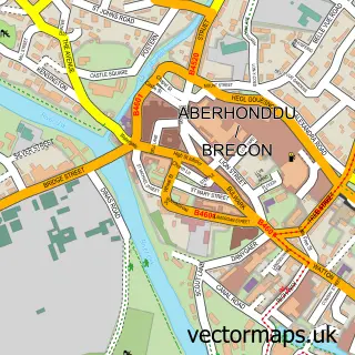
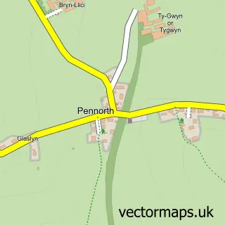
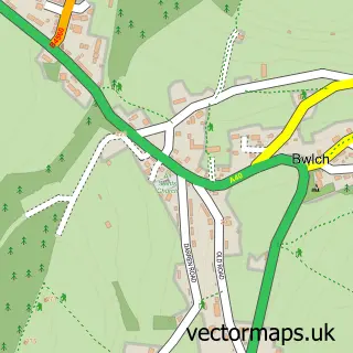
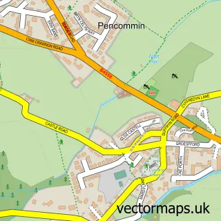
Nearby street map samples around Talybont-on-Usk

More street maps in Powys
750 metre map area coverage
Boundary, postcode and point of interest information for the 750m x 750m rectangle centred on this sample map.
Boundaries containing map centre
Constituency: Brecon, Radnor and Cwm Tawe Co Const
District: Powys - Powys
Icb: Powys Teaching
Parish: Talybont-on-Usk Community
Police Force: dyfed-powys
Postcode District: LD3
Postcode Sector: LD3 7
Nearby boundaries intersecting sample
No additional intersecting boundaries found.
Postcode coverage
POI category counts
Pub: 4
Bed And Breakfast: 2
Bicycle Shop: 2
Cafe: 2
Park: 2
Active Life: 1
Arts And Entertainment: 1
Cabin: 1
Campground: 1
Contractor: 1
Sample points of interest
- The Old Station Hub
- Talybont-on-Usk
- Belvedere Bed and Breakfast
- Rooms at the Usk
- Brecon Beacons Cycle Hub
- Drover Cycles - Talybont
- School Annex
- Canal Side Cafe
- Talybont Stores, CanalSide Cafe and Post Office
- Talybont Farm Campsite
- J L Stephens Ltd
- Kiwi Cottage
Create a larger editable map of Talybont-on-Usk
This sample shows only a 750 metre area. To create a larger map of Talybont-on-Usk, use our map builder to choose your own coverage area, add titles and download editable SVG, PDF and PNG files.
Create a custom map of Talybont-on-Usk