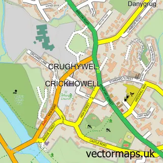
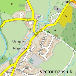
This Bwlch street map is a detailed vector street map covering a 750m x 750m area. Select a larger area to create and download your own vector street map of Bwlch.
The 750-metre map sample for Bwlch covers 163 mapped buildings and approximately 35.5 km of road detail, of which 6 named roads are named. The immediate area includes 1 pub and 1 MOT station within 2 miles. The wider area around Bwlch features 1 food and drink venue and 2 hotels. To create a larger or custom map of Bwlch, the map builder lets you define your own coverage area and download editable SVG, PDF and PNG files.
Create a larger editable map of Bwlch
Choose any area you need and generate a high-quality vector map instantly. Perfect for print, planning, design, business and personal use.

This Bwlch street map in Powys is available as downloadable SVG, PDF and PNG map files, or as a printed map for planning, business, display, education, local information and design work. You can also create a larger custom map area using the map selector.
What this Bwlch map sample shows
Bwlch lies within Cwmdu And District Community parish, part of Bwlch ward in the Powys - Powys local authority area. The postcode geography for this area includes the LD postcode area, the LD3 postcode district and the LD3 7 postcode sector. Residents fall under the Powys Teaching Health Board for NHS services.
Local features near Bwlch
Within 2 milesAmenities and services in and around Bwlch.
Administrative and postcode information for Bwlch
Bwlch lies within Cwmdu And District Community parish, part of Bwlch ward in the Powys - Powys local authority area. The postcode geography for this area includes the LD postcode area, the LD3 postcode district and the LD3 7 postcode sector. Residents fall under the Powys Teaching Health Board for NHS services.
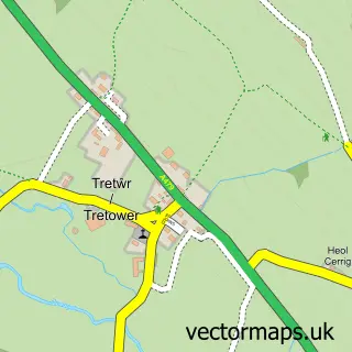
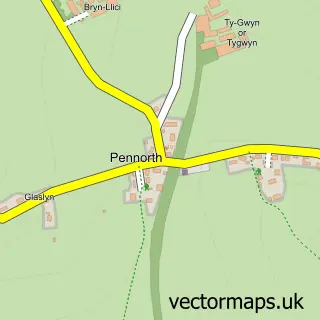
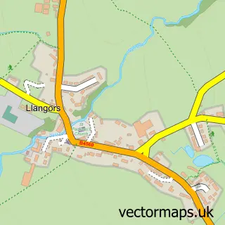
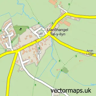
Nearby street map samples around Bwlch

More street maps in Powys
750 metre map area coverage
Boundary, postcode and point of interest information for the 750m x 750m rectangle centred on this sample map.
Boundaries containing map centre
Constituency: Brecon, Radnor and Cwm Tawe Co Const
District: Powys - Powys
Icb: Powys Teaching
Parish: Cwmdu and District Community
Police Force: dyfed-powys
Postcode District: LD3
Postcode Sector: LD3 7
Nearby boundaries intersecting sample
No additional intersecting boundaries found.
Postcode coverage
POI category counts
Hotel: 2
Post Office: 2
Active Life: 1
Antique Store: 1
Archery Range: 1
Cottage: 1
Financial Advising: 1
Hiking Trail: 1
Home Cleaning: 1
Pet Services: 1
Sample points of interest
- Sportsmark Ltd.
- Rona Davies
- Hero Horse Archery
- The Star Bunkhouse
- Isaac Rees Wealth Management Llp
- Bwlch With Altitude
- REAL Clean exterior cleaning
- Ty Carreg
- Winnie's Hayloft
- Buckland Hill Boarding
- Bwlch Post Office
- Post Office
Create a larger editable map of Bwlch
This sample shows only a 750 metre area. To create a larger map of Bwlch, use our map builder to choose your own coverage area, add titles and download editable SVG, PDF and PNG files.
Create a custom map of Bwlch