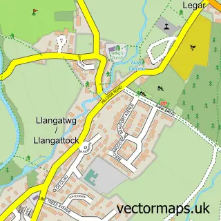
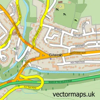
This Crickhowell street map is a detailed vector street map covering a 750m x 750m area. Select a larger area to create and download your own vector street map of Crickhowell.
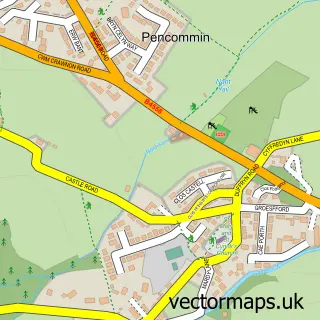
The 750-metre map sample for Crickhowell covers 308 mapped buildings and approximately 41.7 km of road detail, of which 23 named roads are named. The immediate area includes 1 school, 6 pubs and 1 MOT station, with 3 within 2 miles. The wider area around Crickhowell features 5 tourism points of interest, 13 food and drink venues and 3 hotels. To create a larger or custom map of Crickhowell, the map builder lets you define your own coverage area and download editable SVG, PDF and PNG files.
Create a larger editable map of Crickhowell
Choose any area you need and generate a high-quality vector map instantly. Perfect for print, planning, design, business and personal use.

This Crickhowell street map in Powys is available as downloadable SVG, PDF and PNG map files, or as a printed map for planning, business, display, education, local information and design work. You can also create a larger custom map area using the map selector.
What this Crickhowell map sample shows
Crickhowell lies within Crickhowell Community parish, part of Crickhowell ward in the Powys - Powys local authority area. The postcode geography for this area includes the NP postcode area, the NP8 postcode district and the NP8 1 postcode sector. Residents fall under the Powys Teaching Health Board for NHS services.
Local features near Crickhowell
Within 2 milesAmenities and services in and around Crickhowell.
Administrative and postcode information for Crickhowell
Crickhowell lies within Crickhowell Community parish, part of Crickhowell ward in the Powys - Powys local authority area. The postcode geography for this area includes the NP postcode area, the NP8 postcode district and the NP8 1 postcode sector. Residents fall under the Powys Teaching Health Board for NHS services.
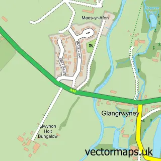
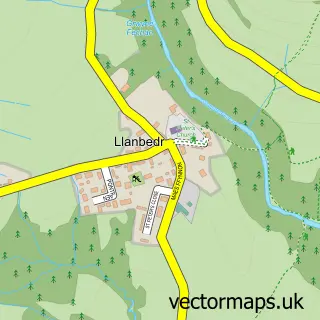
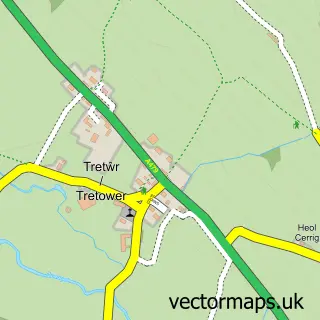
Nearby street map samples around Crickhowell

More street maps in Powys
750 metre map area coverage
Boundary, postcode and point of interest information for the 750m x 750m rectangle centred on this sample map.
Boundaries containing map centre
Constituency: Brecon, Radnor and Cwm Tawe Co Const
District: Powys - Powys
Icb: Powys Teaching
Parish: Crickhowell Community
Police Force: dyfed-powys
Postcode District: NP8
Postcode Sector: NP8 1
Nearby boundaries intersecting sample
Parish: Llangattock Community
Postcode coverage
POI category counts
Community Services Non Profits: 6
Pub: 6
Cafe: 5
Beauty Salon: 4
Clothing Store: 4
Convenience Store: 4
Dentist: 4
Bed And Breakfast: 3
Butcher Shop: 3
Hair Salon: 3
Sample points of interest
- Catherine A Williams Ltd Chartered Accountants
- Dragonfly Studios
- The Emporium
- Technical Solutions Ltd.
- Gallery on The Usk
- Oriel Cric Gallery
- Natwest
- Kevin Walker Mountain Activities
- Castle Garage
- Riverside Auto Services
- Maiflour bakery
- Lloyds Bank
Create a larger editable map of Crickhowell
This sample shows only a 750 metre area. To create a larger map of Crickhowell, use our map builder to choose your own coverage area, add titles and download editable SVG, PDF and PNG files.
Create a custom map of Crickhowell