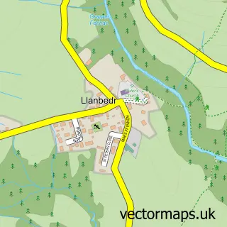
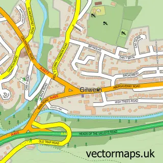
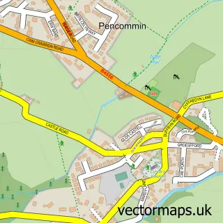
This Llangattock street map is a detailed vector street map covering a 750m x 750m area. Select a larger area to create and download your own vector street map of Llangattock.
The 750-metre map sample for Llangattock covers 200 mapped buildings and approximately 29.5 km of road detail, of which 11 named roads are named. The immediate area includes 1 pub and 3 MOT stations within 2 miles. The wider area around Llangattock features 1 tourism point of interest, 2 food and drink venues and 1 hotel. To create a larger or custom map of Llangattock, the map builder lets you define your own coverage area and download editable SVG, PDF and PNG files.
Create a larger editable map of Llangattock
Choose any area you need and generate a high-quality vector map instantly. Perfect for print, planning, design, business and personal use.

This Llangattock street map in Powys is available as downloadable SVG, PDF and PNG map files, or as a printed map for planning, business, display, education, local information and design work. You can also create a larger custom map area using the map selector.
What this Llangattock map sample shows
Llangattock lies within Llangattock Community parish, part of Llangattock ward in the Powys - Powys local authority area. The postcode geography for this area includes the NP postcode area, the NP8 postcode district and the NP8 1 postcode sector. Residents fall under the Powys Teaching Health Board for NHS services.
Local features near Llangattock
Within 2 milesAmenities and services in and around Llangattock.
Administrative and postcode information for Llangattock
Llangattock lies within Llangattock Community parish, part of Llangattock ward in the Powys - Powys local authority area. The postcode geography for this area includes the NP postcode area, the NP8 postcode district and the NP8 1 postcode sector. Residents fall under the Powys Teaching Health Board for NHS services.
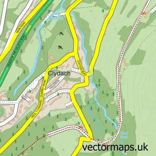
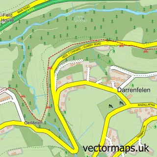
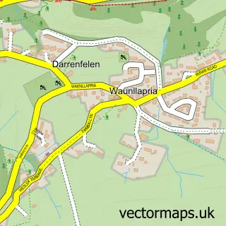
Nearby street map samples around Llangattock

More street maps in Powys
750 metre map area coverage
Boundary, postcode and point of interest information for the 750m x 750m rectangle centred on this sample map.
Boundaries containing map centre
Constituency: Brecon, Radnor and Cwm Tawe Co Const
District: Powys - Powys
Icb: Powys Teaching
Parish: Llangattock Community
Police Force: dyfed-powys
Postcode District: NP8
Postcode Sector: NP8 1
Nearby boundaries intersecting sample
No additional intersecting boundaries found.
Postcode coverage
POI category counts
Church Cathedral: 2
Agriculture: 1
Arts And Entertainment: 1
Castle: 1
Contractor: 1
Furniture Store: 1
Gastropub: 1
Hotel: 1
Professional Services: 1
Pub: 1
Sample points of interest
- Moor Park Garden
- Gerard KilBride Violins
- Garn Coch Motte
- Church in Wales
- St Catwg's Church
- Loft Boarding South Wales
- Llangattock honey
- The Vine Tree Llangattock
- The Old Rectory Hotel
- Land and Stone
- Horse Shoe Inn
- The Vine Tree
Create a larger editable map of Llangattock
This sample shows only a 750 metre area. To create a larger map of Llangattock, use our map builder to choose your own coverage area, add titles and download editable SVG, PDF and PNG files.
Create a custom map of Llangattock