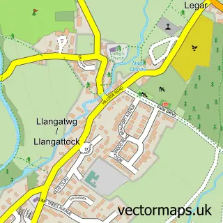
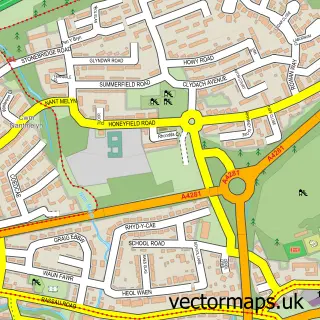
This Llangynidr street map is a detailed vector street map covering a 750m x 750m area. Select a larger area to create and download your own vector street map of Llangynidr.
The 750-metre map sample for Llangynidr covers 246 mapped buildings and approximately 38.4 km of road detail, of which 14 named roads are named. The immediate area includes 1 school, 2 pubs and 1 MOT station within 2 miles. The wider area around Llangynidr features 1 tourism point of interest and 2 food and drink venues. To create a larger or custom map of Llangynidr, the map builder lets you define your own coverage area and download editable SVG, PDF and PNG files.
Create a larger editable map of Llangynidr
Choose any area you need and generate a high-quality vector map instantly. Perfect for print, planning, design, business and personal use.

This Llangynidr street map in Powys is available as downloadable SVG, PDF and PNG map files, or as a printed map for planning, business, display, education, local information and design work. You can also create a larger custom map area using the map selector.
What this Llangynidr map sample shows
Llangynidr lies within Llangynidr Community parish, part of Llangynidr ward in the Powys - Powys local authority area. The postcode geography for this area includes the NP postcode area, the NP8 postcode district and the NP8 1 postcode sector. Residents fall under the Powys Teaching Health Board for NHS services.
Local features near Llangynidr
Within 2 milesAmenities and services in and around Llangynidr.
Administrative and postcode information for Llangynidr
The local authority covering Llangynidr is Powys - Powys, within the county of Powys. The settlement lies within Llangynidr ward and Llangynidr Community civil parish. The NP8 postcode district and NP8 1 postcode sector serve the immediate area. NHS provision in the area is delivered through Powys Teaching Health Board.
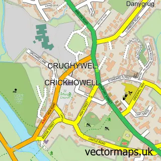
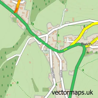
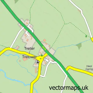
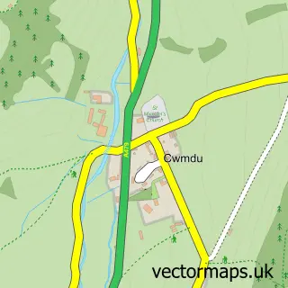
Nearby street map samples around Llangynidr

More street maps in Powys
750 metre map area coverage
Boundary, postcode and point of interest information for the 750m x 750m rectangle centred on this sample map.
Boundaries containing map centre
Constituency: Brecon, Radnor and Cwm Tawe Co Const
District: Powys - Powys
Icb: Powys Teaching
Parish: Llangynidr Community
Police Force: dyfed-powys
Postcode District: NP8
Postcode Sector: NP8 1
Nearby boundaries intersecting sample
No additional intersecting boundaries found.
Postcode coverage
POI category counts
Building Supply Store: 2
Pub: 2
Retail: 2
Chimney Sweep: 1
Community Center: 1
Cycling Classes: 1
Day Care Preschool: 1
Elementary School: 1
Flowers And Gifts Shop: 1
Gas Station: 1
Sample points of interest
- Jgstoneworx
- The Galium Garden
- Soots Away Chimney Sweep
- Llangynidr New Village Hall
- cyclebasket.com
- Llangynidr Pre-School
- Llangynidr Community Primary School
- Big Girl's Pants
- Llangynidr Service Station
- Pontganol Cottage
- Pedestal Television
- Llangynidr Brecon Beacons National Park
Create a larger editable map of Llangynidr
This sample shows only a 750 metre area. To create a larger map of Llangynidr, use our map builder to choose your own coverage area, add titles and download editable SVG, PDF and PNG files.
Create a custom map of Llangynidr