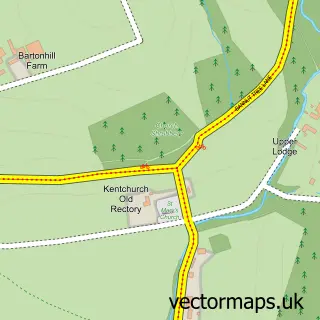
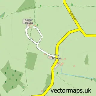
This Pontrilas street map is a detailed vector street map covering a 750m x 750m area. Select a larger area to create and download your own vector street map of Pontrilas.
The 750-metre map sample for Pontrilas covers 88 mapped buildings and approximately 42.6 km of road detail, of which 3 named roads are named. The immediate area includes 1 GP surgery within 2 miles and 2 MOT stations within 2 miles. The wider area around Pontrilas features 1 tourism point of interest, 2 food and drink venues and 1 hotel. To create a larger or custom map of Pontrilas, the map builder lets you define your own coverage area and download editable SVG, PDF and PNG files.
Create a larger editable map of Pontrilas
Choose any area you need and generate a high-quality vector map instantly. Perfect for print, planning, design, business and personal use.

This Pontrilas street map in Herefordshire is available as downloadable SVG, PDF and PNG map files, or as a printed map for planning, business, display, education, local information and design work. You can also create a larger custom map area using the map selector.
What this Pontrilas map sample shows
Pontrilas lies within Kentchurch Cp parish, part of Golden Valley South ward in the County Of Herefordshire local authority area. The postcode geography for this area includes the HR postcode area, the HR2 postcode district and the HR2 0 postcode sector. Residents fall under the Nhs Herefordshire And Worcestershire Integrated Care Board for NHS services.
Local features near Pontrilas
Within 2 milesAmenities and services in and around Pontrilas.
Administrative and postcode information for Pontrilas
The local authority covering Pontrilas is County Of Herefordshire, within the county of Herefordshire. The settlement lies within Golden Valley South ward and Kentchurch Cp civil parish. The HR2 postcode district and HR2 0 postcode sector serve the immediate area. NHS provision in the area is delivered through Wye Valley Nhs Trust.
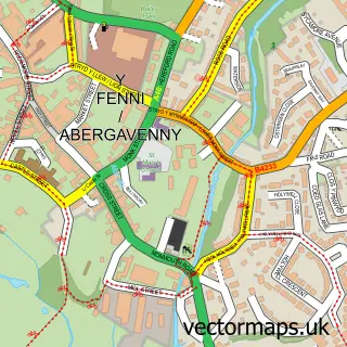
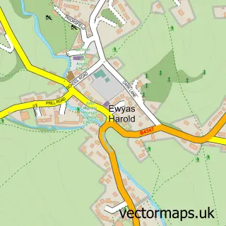
Nearby street map samples around Pontrilas

More street maps in Herefordshire
750 metre map area coverage
Boundary, postcode and point of interest information for the 750m x 750m rectangle centred on this sample map.
Boundaries containing map centre
Constituency: Hereford and South Herefordshire Co Const
District: County of Herefordshire
Icb: NHS Herefordshire and Worcestershire ICB
Parish: Kentchurch CP
Police Force: west mercia
Postcode District: HR2
Postcode Sector: HR2 0
Ward: Golden Valley South Ward
Nearby boundaries intersecting sample
Parish: Ewyas Harold CP
Postcode coverage
POI category counts
Toy Store: 3
Post Office: 2
Real Estate Agent: 2
Automotive Services And Repair: 1
Building Supply Store: 1
Cafe: 1
Engineering Services: 1
Gym: 1
Hardware Store: 1
Hotel: 1
Sample points of interest
- L G Racing
- Pontrilas Merchants
- The Little Blue Elephant Play Cafe
- P.James Agricultural Engineer
- GV Fitness Centre
- Architectural Ironmongery
- Station House
- Pontrilas Business Park
- Pontrilas Post Office
- Pontrilas Village Cafe, Post Office and Fitness Centre
- Nigel Ward & Company, Pontrilas, Herefordshire.
- Pricewise Homes
Create a larger editable map of Pontrilas
This sample shows only a 750 metre area. To create a larger map of Pontrilas, use our map builder to choose your own coverage area, add titles and download editable SVG, PDF and PNG files.
Create a custom map of Pontrilas