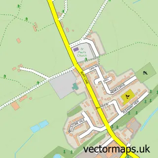
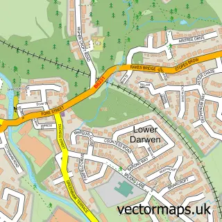
This Abbey Village street map is a detailed vector street map covering a 750m x 750m area. Select a larger area to create and download your own vector street map of Abbey Village.
The 750-metre map sample for Abbey Village covers 92 mapped buildings and approximately 9.3 km of road detail, of which 7 named roads are named. The immediate area includes 1 school, 1 GP surgery within 2 miles, 1 pub and 2 MOT stations within 2 miles. The wider area around Abbey Village features 1 food and drink venue. To create a larger or custom map of Abbey Village, the map builder lets you define your own coverage area and download editable SVG, PDF and PNG files.
Create a larger editable map of Abbey Village
Choose any area you need and generate a high-quality vector map instantly. Perfect for print, planning, design, business and personal use.

This Abbey Village street map in Lancashire is available as downloadable SVG, PDF and PNG map files, or as a printed map for planning, business, display, education, local information and design work. You can also create a larger custom map area using the map selector.
What this Abbey Village map sample shows
Abbey Village lies within Withnell Cp parish, part of Wheelton And Withnell ward in the Chorley District (B) local authority area. The postcode geography for this area includes the PR postcode area, the PR6 postcode district and the PR6 8 postcode sector. Residents fall under the Nhs Lancashire And South Cumbria Integrated Care Board for NHS services.
Local features near Abbey Village
Within 2 milesAmenities and services in and around Abbey Village.
Administrative and postcode information for Abbey Village
Abbey Village lies within Withnell Cp parish, part of Wheelton And Withnell ward in the Chorley District (B) local authority area. The postcode geography for this area includes the PR postcode area, the PR6 postcode district and the PR6 8 postcode sector. Residents fall under the Nhs Lancashire And South Cumbria Integrated Care Board for NHS services.
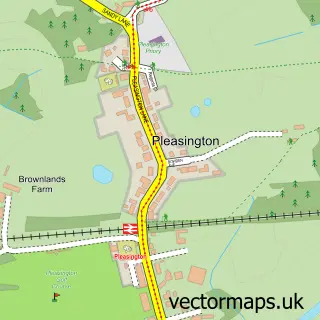
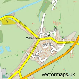
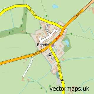
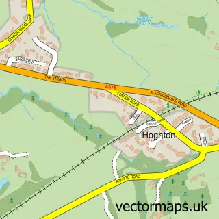
Nearby street map samples around Abbey Village
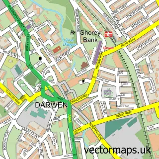

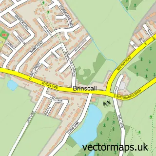
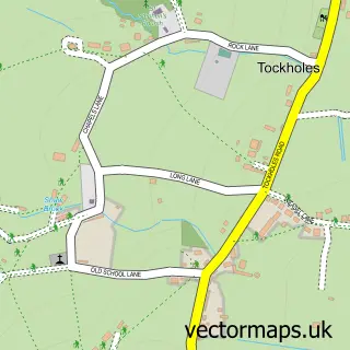
More street maps in Lancashire
750 metre map area coverage
Boundary, postcode and point of interest information for the 750m x 750m rectangle centred on this sample map.
Boundaries containing map centre
Constituency: Chorley Co Const
County: Lancashire County
District: Chorley District (B)
Icb: NHS Lancashire and South Cumbria ICB
Parish: Withnell CP
Police Force: lancashire
Postcode District: PR6
Postcode Sector: PR6 8
Ward: Chorley North East Ward
Nearby boundaries intersecting sample
Constituency: Rossendale and Darwen Co Const
District: Blackburn with Darwen (B)
Parish: Tockholes CP
Ward: Darwen West Ward
Postcode coverage
POI category counts
Professional Services: 2
Architectural Designer: 1
Arts And Crafts: 1
Automotive Parts And Accessories: 1
Building Supply Store: 1
Elementary School: 1
Engineering Services: 1
Flowers And Gifts Shop: 1
Ice Cream Shop: 1
Indian Restaurant: 1
Sample points of interest
- Anglezarke Designs Limited
- Fame and Frame
- Newford Parts Centre
- Mr Peter Charnley
- Abbey Village Primary School
- Forshaw Engineering Ltd
- Hare & Hounds in Abbey Village
- Holdens & Co.
- Naga Indian Restaurant
- JFS Welding & Engineering
- Abbey Village Play Area
- Abbey Village Post Office
Create a larger editable map of Abbey Village
This sample shows only a 750 metre area. To create a larger map of Abbey Village, use our map builder to choose your own coverage area, add titles and download editable SVG, PDF and PNG files.
Create a custom map of Abbey Village