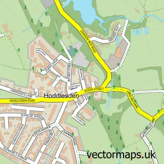
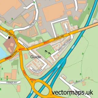
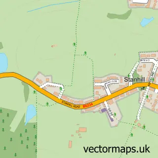
This Darwen street map is a detailed vector street map covering a 750m x 750m area. Select a larger area to create and download your own vector street map of Darwen.
The 750-metre map sample for Darwen covers 241 mapped buildings and approximately 28.0 km of road detail, of which 94 named roads are named. The immediate area includes 1 primary school and 2 secondary schools, 1 railway station, 2 GP surgeries, with 4 within 2 miles and 11 pubs among other local services. The wider area around Darwen features 1 tourism point of interest, 31 food and drink venues and 4 hotels. To create a larger or custom map of Darwen, the map builder lets you define your own coverage area and download editable SVG, PDF and PNG files.
Create a larger editable map of Darwen
Choose any area you need and generate a high-quality vector map instantly. Perfect for print, planning, design, business and personal use.

This Darwen street map in Lancashire is available as downloadable SVG, PDF and PNG map files, or as a printed map for planning, business, display, education, local information and design work. You can also create a larger custom map area using the map selector.
What this Darwen map sample shows
Darwen lies within Darwen Cp parish, part of Darwen East ward in the Blackburn With Darwen (B) local authority area. The postcode geography for this area includes the BB postcode area, the BB3 postcode district and the BB3 2 postcode sector. Residents fall under the Nhs Lancashire And South Cumbria Integrated Care Board for NHS services.
Local features near Darwen
Within 2 milesAmenities and services in and around Darwen.
Administrative and postcode information for Darwen
Darwen lies within Darwen Cp parish, part of Darwen East ward in the Blackburn With Darwen (B) local authority area. The postcode geography for this area includes the BB postcode area, the BB3 postcode district and the BB3 2 postcode sector. Residents fall under the Nhs Lancashire And South Cumbria Integrated Care Board for NHS services.
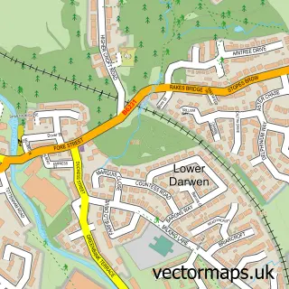
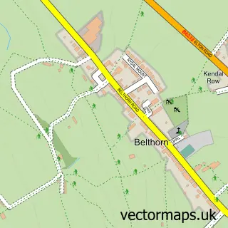
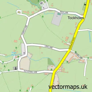
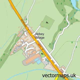
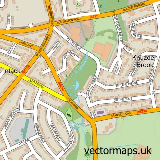
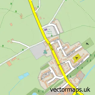
Nearby street map samples around Darwen

More street maps in Lancashire
750 metre map area coverage
Boundary, postcode and point of interest information for the 750m x 750m rectangle centred on this sample map.
Boundaries containing map centre
Constituency: Rossendale and Darwen Co Const
District: Blackburn with Darwen (B)
Icb: NHS Lancashire and South Cumbria ICB
Parish: Darwen CP
Police Force: lancashire
Postcode District: BB3
Postcode Sector: BB3 2
Ward: Darwen East Ward
Nearby boundaries intersecting sample
Postcode Sector: BB3 0, BB3 1, BB3 3
Ward: Darwen South Ward, Darwen West Ward
Postcode coverage
POI category counts
Beauty Salon: 22
Hair Salon: 19
Pub: 11
Barber: 9
Real Estate Agent: 9
Banks: 8
Beauty And Spa: 8
Cafe: 8
Professional Services: 8
Flowers And Gifts Shop: 7
Sample points of interest
- Cheddy
- Hindle Jepson and Jennings
- Darwen Acupuncture Clinic Ltd
- Fruity Llama
- Henry Christopher Commercial Printers
- Darwen Olive Bar Fc
- Miami Chicken & Pizza
- St Peter's Church
- Darwen salerooms & Antique Centre
- Prova Designs
- Darwen Domestics
- Ink Icons
Create a larger editable map of Darwen
This sample shows only a 750 metre area. To create a larger map of Darwen, use our map builder to choose your own coverage area, add titles and download editable SVG, PDF and PNG files.
Create a custom map of Darwen