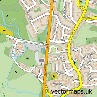
This Withnell street map is a detailed vector street map covering a 750m x 750m area. Select a larger area to create and download your own vector street map of Withnell.
The 750-metre map sample for Withnell covers 153 mapped buildings and approximately 7.6 km of road detail, of which 13 named roads are named. The immediate area includes 1 school, 1 GP surgery within 2 miles and 1 MOT station within 2 miles. To create a larger or custom map of Withnell, the map builder lets you define your own coverage area and download editable SVG, PDF and PNG files.
Create a larger editable map of Withnell
Choose any area you need and generate a high-quality vector map instantly. Perfect for print, planning, design, business and personal use.

This Withnell street map in Lancashire is available as downloadable SVG, PDF and PNG map files, or as a printed map for planning, business, display, education, local information and design work. You can also create a larger custom map area using the map selector.
What this Withnell map sample shows
Withnell lies within Withnell Cp parish, part of Wheelton And Withnell ward in the Chorley District (B) local authority area. The postcode geography for this area includes the PR postcode area, the PR6 postcode district and the PR6 8 postcode sector. Residents fall under the Nhs Lancashire And South Cumbria Integrated Care Board for NHS services.
Local features near Withnell
Within 2 milesAmenities and services in and around Withnell.
Administrative and postcode information for Withnell
The local authority covering Withnell is Chorley District (B), within the county of Lancashire. The settlement lies within Wheelton And Withnell ward and Withnell Cp civil parish. The PR6 postcode district and PR6 8 postcode sector serve the immediate area. NHS provision in the area is delivered through Lancashire Teaching Hospitals Nhs Foundation Trust.
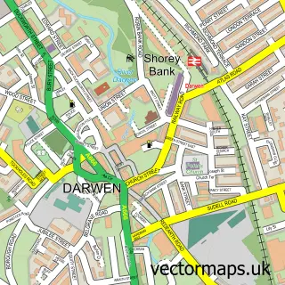
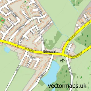
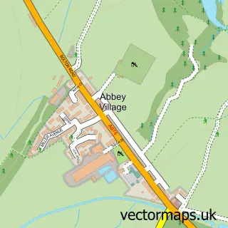
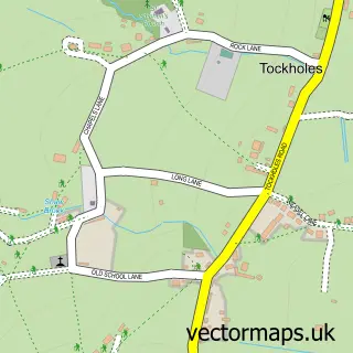
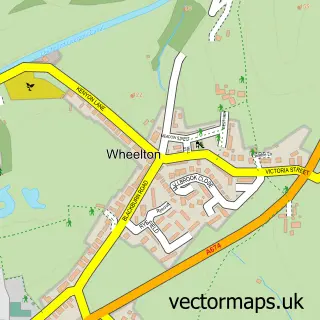
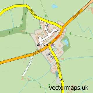
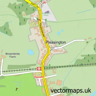
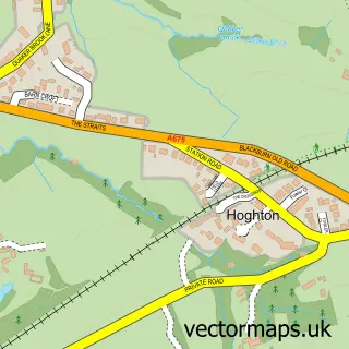
Nearby street map samples around Withnell

More street maps in Lancashire
750 metre map area coverage
Boundary, postcode and point of interest information for the 750m x 750m rectangle centred on this sample map.
Boundaries containing map centre
Constituency: Chorley Co Const
County: Lancashire County
District: Chorley District (B)
Icb: NHS Lancashire and South Cumbria ICB
Parish: Withnell CP
Police Force: lancashire
Postcode District: PR6
Postcode Sector: PR6 8
Ward: Chorley North East Ward
Nearby boundaries intersecting sample
No additional intersecting boundaries found.
Postcode coverage
POI category counts
Church Cathedral: 2
Pharmacy: 2
Advertising Agency: 1
Automotive: 1
B2b Textiles: 1
Barber: 1
Beauty Salon: 1
Building Supply Store: 1
Catholic Church: 1
Fabric Store: 1
Sample points of interest
- Smart Phone Searches
- Cockers Garage
- Jacquard Woven Badge Ltd
- Blinkhorne Barbers
- Studio 19 - Hair & Nails
- W Tempest Electrical Ltd
- St Joseph's Catholic Church
- St Paul's Church
- St Paul's Withnell
- Jacquard Weaving Co
- The Green Cow Farm Shop
- Hacienda Hair Studios
Create a larger editable map of Withnell
This sample shows only a 750 metre area. To create a larger map of Withnell, use our map builder to choose your own coverage area, add titles and download editable SVG, PDF and PNG files.
Create a custom map of Withnell