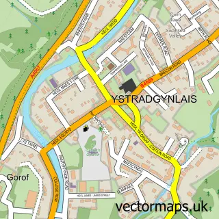
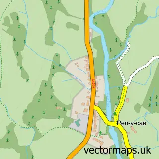
This Abercraf street map is a detailed vector street map covering a 750m x 750m area. Select a larger area to create and download your own vector street map of Abercraf.
The 750-metre map sample for Abercraf covers 180 mapped buildings and approximately 9.0 km of road detail, of which 7 named roads are named. The immediate area includes 1 GP surgery within 2 miles and 1 MOT station within 2 miles. To create a larger or custom map of Abercraf, the map builder lets you define your own coverage area and download editable SVG, PDF and PNG files.
Create a larger editable map of Abercraf
Choose any area you need and generate a high-quality vector map instantly. Perfect for print, planning, design, business and personal use.

This Abercraf street map in Powys is available as downloadable SVG, PDF and PNG map files, or as a printed map for planning, business, display, education, local information and design work. You can also create a larger custom map area using the map selector.
What this Abercraf map sample shows
Abercraf lies within Tawe-Uchaf Community parish, part of Tawe-Uchaf ward in the Powys - Powys local authority area. The postcode geography for this area includes the SA postcode area, the SA9 postcode district and the SA9 1 postcode sector. Residents fall under the Powys Teaching Health Board for NHS services.
Local features near Abercraf
Within 2 milesAmenities and services in and around Abercraf.
Administrative and postcode information for Abercraf
Abercraf lies within Tawe-Uchaf Community parish, part of Tawe-Uchaf ward in the Powys - Powys local authority area. The postcode geography for this area includes the SA postcode area, the SA9 postcode district and the SA9 1 postcode sector. Residents fall under the Powys Teaching Health Board for NHS services.
Nearby street map samples around Abercraf

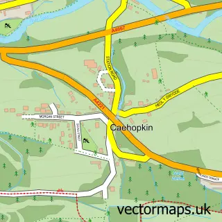
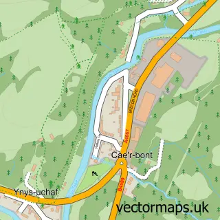
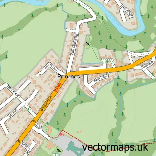
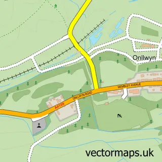
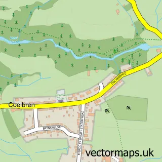

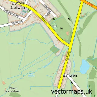
More street maps in Powys
750 metre map area coverage
Boundary, postcode and point of interest information for the 750m x 750m rectangle centred on this sample map.
Boundaries containing map centre
Constituency: Brecon, Radnor and Cwm Tawe Co Const
District: Powys - Powys
Icb: Powys Teaching
Parish: Ystradgynlais Community
Police Force: dyfed-powys
Postcode District: SA9
Postcode Sector: SA9 1
Nearby boundaries intersecting sample
Parish: Tawe-Uchaf Community
Postcode coverage
POI category counts
Shipping Center: 2
Bar: 1
Beauty And Spa: 1
Building Supply Store: 1
Community Center: 1
Elementary School: 1
Lodge: 1
Post Office: 1
Preschool: 1
Telecommunications: 1
Sample points of interest
- The Village Sports Bar
- Eclipz
- Rotafix
- Abercrave Welfare Hall
- Ysgol y Cribarth
- The Hub at Abercrave
- Post Office
- Cewri bach playgroup
- Abercrave Post Office
- Post Office-Abercrave
- Our World Internet Services
Create a larger editable map of Abercraf
This sample shows only a 750 metre area. To create a larger map of Abercraf, use our map builder to choose your own coverage area, add titles and download editable SVG, PDF and PNG files.
Create a custom map of Abercraf