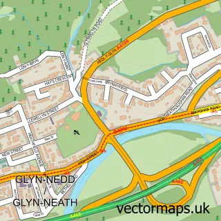
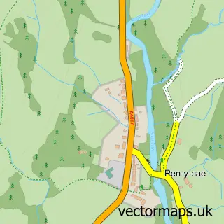
This Banwen street map is a detailed vector street map covering a 750m x 750m area. Select a larger area to create and download your own vector street map of Banwen.
The 750-metre map sample for Banwen covers 172 mapped buildings and approximately 6.7 km of road detail, of which 9 named roads are named. The immediate area includes 1 school and 1 pub. The wider area around Banwen features 2 food and drink venues. To create a larger or custom map of Banwen, the map builder lets you define your own coverage area and download editable SVG, PDF and PNG files.
Create a larger editable map of Banwen
Choose any area you need and generate a high-quality vector map instantly. Perfect for print, planning, design, business and personal use.

This Banwen street map in West Glamorgan is available as downloadable SVG, PDF and PNG map files, or as a printed map for planning, business, display, education, local information and design work. You can also create a larger custom map area using the map selector.
What this Banwen map sample shows
Banwen lies within Onllwyn Community parish, part of Onllwyn ward in the Castell-Nedd Port Talbot - Neath Port Talbot local authority area. The postcode geography for this area includes the SA postcode area, the SA10 postcode district and the SA10 9 postcode sector. Residents fall under the Swansea Bay University Local Health Board for NHS services.
Local features near Banwen
Within 2 milesAmenities and services in and around Banwen.
Administrative and postcode information for Banwen
Banwen lies within Onllwyn Community parish, part of Onllwyn ward in the Castell-Nedd Port Talbot - Neath Port Talbot local authority area. The postcode geography for this area includes the SA postcode area, the SA10 postcode district and the SA10 9 postcode sector. Residents fall under the Swansea Bay University Local Health Board for NHS services.
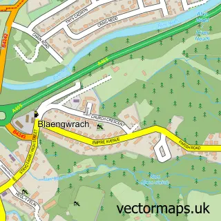
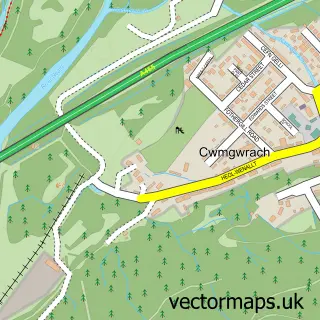
Nearby street map samples around Banwen

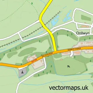
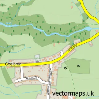

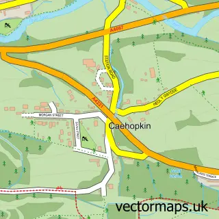

More street maps in West Glamorgan
750 metre map area coverage
Boundary, postcode and point of interest information for the 750m x 750m rectangle centred on this sample map.
Boundaries containing map centre
Constituency: Neath and Swansea East Co Const
District: Castell-nedd Port Talbot - Neath Port Talbot
Icb: Abertawe Bro Morgannwg University
Parish: Onllwyn Community
Police Force: south wales
Postcode District: SA10
Postcode Sector: SA10 9
Nearby boundaries intersecting sample
No additional intersecting boundaries found.
Postcode coverage
POI category counts
Contractor: 2
Automotive: 1
Barber: 1
Beauty Salon: 1
Caterer: 1
Community Center: 1
Day Care Preschool: 1
Elementary School: 1
Fountain: 1
Package Locker: 1
Sample points of interest
- J&J Motors Suzuki Skewen Swansea
- G's Barber Shop
- Golden Curls
- The Meat And Greet Co
- Banwen Community Centre
- A1 Garden Solutions Wales
- Render-Tec
- Dovecote Day Nursery
- Maesmarchog Primary School
- Banwen
- InPost
- Dyffryn Pharmacy Ltd
Create a larger editable map of Banwen
This sample shows only a 750 metre area. To create a larger map of Banwen, use our map builder to choose your own coverage area, add titles and download editable SVG, PDF and PNG files.
Create a custom map of Banwen