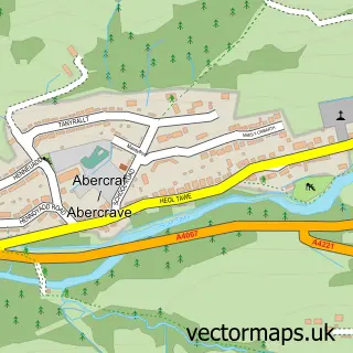
This Caehopkin street map is a detailed vector street map covering a 750m x 750m area. Select a larger area to create and download your own vector street map of Caehopkin.
The 750-metre map sample for Caehopkin covers 110 mapped buildings and approximately 12.2 km of road detail, of which 7 named roads are named. The immediate area includes 1 GP surgery within 2 miles and 1 MOT station within 2 miles. The wider area around Caehopkin features 1 food and drink venue. To create a larger or custom map of Caehopkin, the map builder lets you define your own coverage area and download editable SVG, PDF and PNG files.
Create a larger editable map of Caehopkin
Choose any area you need and generate a high-quality vector map instantly. Perfect for print, planning, design, business and personal use.

This Caehopkin street map in Powys is available as downloadable SVG, PDF and PNG map files, or as a printed map for planning, business, display, education, local information and design work. You can also create a larger custom map area using the map selector.
What this Caehopkin map sample shows
Caehopkin lies within Tawe-Uchaf Community parish, part of Tawe-Uchaf ward in the Powys - Powys local authority area. The postcode geography for this area includes the SA postcode area, the SA9 postcode district and the SA9 1 postcode sector. Residents fall under the Powys Teaching Health Board for NHS services.
Local features near Caehopkin
Within 2 milesAmenities and services in and around Caehopkin.
Administrative and postcode information for Caehopkin
Caehopkin lies within Tawe-Uchaf Community parish, part of Tawe-Uchaf ward in the Powys - Powys local authority area. The postcode geography for this area includes the SA postcode area, the SA9 postcode district and the SA9 1 postcode sector. Residents fall under the Powys Teaching Health Board for NHS services.
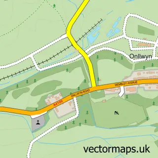
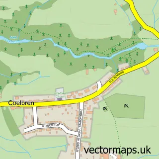
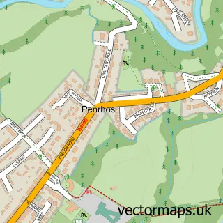
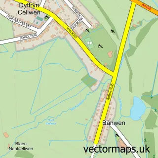
Nearby street map samples around Caehopkin


More street maps in Powys
750 metre map area coverage
Boundary, postcode and point of interest information for the 750m x 750m rectangle centred on this sample map.
Boundaries containing map centre
Constituency: Brecon, Radnor and Cwm Tawe Co Const
District: Powys - Powys
Icb: Powys Teaching
Parish: Tawe-Uchaf Community
Police Force: dyfed-powys
Postcode District: SA9
Postcode Sector: SA9 1
Nearby boundaries intersecting sample
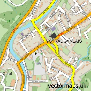
Parish: Ystradgynlais Community
Postcode coverage
POI category counts
Scout Hall: 2
Assisted Living Facility: 1
Bed And Breakfast: 1
Naturopathic Holistic: 1
Restaurant: 1
Retirement Home: 1
Train Station: 1
Sample points of interest
- Ty Mawr Nursing Home
- Old School Manor
- AMendola Hypnotherapy
- Cefn Yr Erw Primate Rescue Sanctuary
- Tŷ Mawr Nursing Home
- 1st Caehopkin (Pine) Abercrave
- Ystradgynlais - Ystradgynlais Explorers (Caehopkin)
- Abercrave railway station
Create a larger editable map of Caehopkin
This sample shows only a 750 metre area. To create a larger map of Caehopkin, use our map builder to choose your own coverage area, add titles and download editable SVG, PDF and PNG files.
Create a custom map of Caehopkin