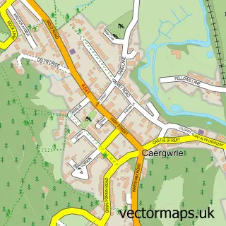
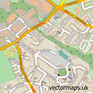
This Abermorddu street map is a detailed vector street map covering a 750m x 750m area. Select a larger area to create and download your own vector street map of Abermorddu.
The 750-metre map sample for Abermorddu covers 224 mapped buildings and approximately 8.1 km of road detail, of which 10 named roads are named. The immediate area includes 1 school, 1 pub and 9 MOT stations within 2 miles. The wider area around Abermorddu features 2 tourism points of interest, 1 food and drink venue and 2 campsites within 2 miles. To create a larger or custom map of Abermorddu, the map builder lets you define your own coverage area and download editable SVG, PDF and PNG files.
Create a larger editable map of Abermorddu
Choose any area you need and generate a high-quality vector map instantly. Perfect for print, planning, design, business and personal use.

This Abermorddu street map in Clwyd is available as downloadable SVG, PDF and PNG map files, or as a printed map for planning, business, display, education, local information and design work. You can also create a larger custom map area using the map selector.
What this Abermorddu map sample shows
Abermorddu lies within Llanfynydd Community parish, part of Llanfynydd ward in the Sir Y Fflint - Flintshire local authority area. The postcode geography for this area includes the LL postcode area, the LL12 postcode district and the LL12 9 postcode sector. Residents fall under the Betsi Cadwaladr University Health Board for NHS services.
Local features near Abermorddu
Within 2 milesAmenities and services in and around Abermorddu.
Administrative and postcode information for Abermorddu
Abermorddu lies within Llanfynydd Community parish, part of Llanfynydd ward in the Sir Y Fflint - Flintshire local authority area. The postcode geography for this area includes the LL postcode area, the LL12 postcode district and the LL12 9 postcode sector. Residents fall under the Betsi Cadwaladr University Health Board for NHS services.
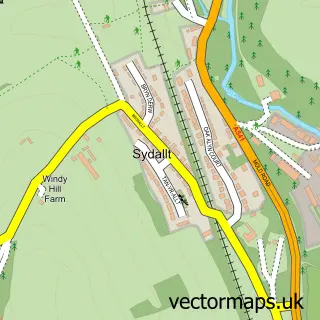
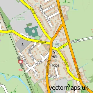
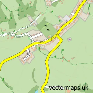
Nearby street map samples around Abermorddu


More street maps in Clwyd
750 metre map area coverage
Boundary, postcode and point of interest information for the 750m x 750m rectangle centred on this sample map.
Boundaries containing map centre
Constituency: Alyn and Deeside Co Const
District: Sir y Fflint - Flintshire
Icb: Betsi Cadwaladr University
Parish: Hope Community
Police Force: north wales
Postcode District: LL12
Postcode Sector: LL12 9
Nearby boundaries intersecting sample
Constituency: Wrexham Co Const
District: Wrecsam - Wrexham
Parish: Llanfynydd Community, Llay Community
Postcode coverage
POI category counts
Alternative Medicine: 1
Automotive Services And Repair: 1
Car Dealer: 1
Chimney Sweep: 1
Chinese Restaurant: 1
Contractor: 1
Elementary School: 1
Gym: 1
Landmark And Historical Building: 1
Park: 1
Sample points of interest
- Delwyn Hypnosis
- MC Dual Controls
- Bradley Motor Company
- Alyn Fireplaces
- The Kowloon House
- On The Tiles Wrexham Mold Chester
- Abermorddu County Primary School
- Hillcrest Boxing Gym
- Abermorddu
- Wyndham Drive Park
- Champer's Grooming Room
- Fairytale Moments Photography
Create a larger editable map of Abermorddu
This sample shows only a 750 metre area. To create a larger map of Abermorddu, use our map builder to choose your own coverage area, add titles and download editable SVG, PDF and PNG files.
Create a custom map of Abermorddu