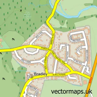
This Llay street map is a detailed vector street map covering a 750m x 750m area. Select a larger area to create and download your own vector street map of Llay.
The 750-metre map sample for Llay covers 443 mapped buildings and approximately 18.0 km of road detail, of which 39 named roads are named. The immediate area includes 1 school, 1 pub and 1 MOT station, with 11 within 2 miles. The wider area around Llay features 1 tourism point of interest, 4 food and drink venues and 2 campsites within 2 miles. To create a larger or custom map of Llay, the map builder lets you define your own coverage area and download editable SVG, PDF and PNG files.
Create a larger editable map of Llay
Choose any area you need and generate a high-quality vector map instantly. Perfect for print, planning, design, business and personal use.

This Llay street map in Clwyd is available as downloadable SVG, PDF and PNG map files, or as a printed map for planning, business, display, education, local information and design work. You can also create a larger custom map area using the map selector.
What this Llay map sample shows
Llay lies within Llay Community parish, part of Llay ward in the Wrecsam - Wrexham local authority area. The postcode geography for this area includes the LL postcode area, the LL12 postcode district and the LL12 0 postcode sector. Residents fall under the Betsi Cadwaladr University Health Board for NHS services.
Local features near Llay
Within 2 milesAmenities and services in and around Llay.
Administrative and postcode information for Llay
The local authority covering Llay is Wrecsam - Wrexham, within the county of Clwyd. The settlement lies within Llay ward and Llay Community civil parish. The LL12 postcode district and LL12 0 postcode sector serve the immediate area. NHS provision in the area is delivered through Betsi Cadwaladr University Health Board.
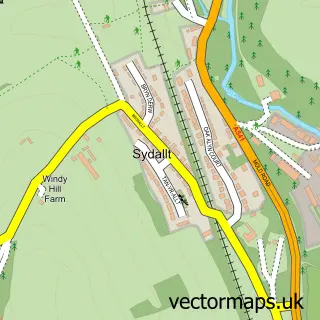
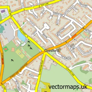
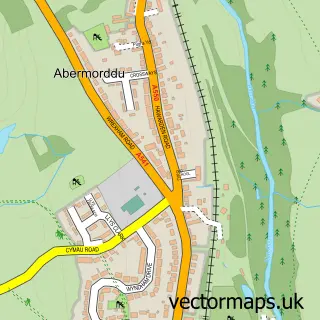
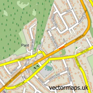
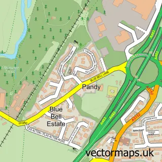
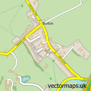
Nearby street map samples around Llay


More street maps in Clwyd
750 metre map area coverage
Boundary, postcode and point of interest information for the 750m x 750m rectangle centred on this sample map.
Boundaries containing map centre
Constituency: Wrexham Co Const
District: Wrecsam - Wrexham
Icb: Betsi Cadwaladr University
Parish: Llay Community
Police Force: north wales
Postcode District: LL12
Postcode Sector: LL12 0
Nearby boundaries intersecting sample
No additional intersecting boundaries found.
Postcode coverage
POI category counts
Convenience Store: 3
Education: 3
Advertising Agency: 2
Church Cathedral: 2
Hair Salon: 2
Printing Services: 2
Storage Facility: 2
Airport Shuttles: 1
Aquatic Pet Store: 1
Audiovisual Equipment Rental: 1
Sample points of interest
- Mako Creative
- Vida Divina
- Unicorn Travel
- Jaydee Aquatics
- Array Audio Visual Ltd.
- Evans Maintenance Services
- Unipart Car Care Centre
- Johnsons Stalbridge Linen Service
- The Barbers Shop - Llay
- Premire Mortars
- Independent Twine Manufacturing
- Hayakawa International UK Ltd.
Create a larger editable map of Llay
This sample shows only a 750 metre area. To create a larger map of Llay, use our map builder to choose your own coverage area, add titles and download editable SVG, PDF and PNG files.
Create a custom map of Llay