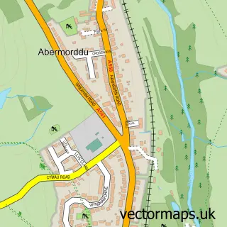
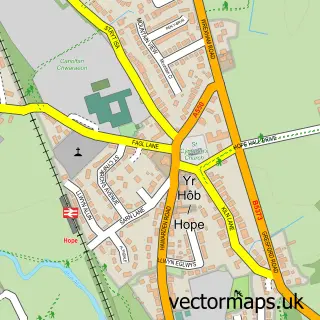
This Cefn-y-bedd street map is a detailed vector street map covering a 750m x 750m area. Select a larger area to create and download your own vector street map of Cefn-y-bedd.
The 750-metre map sample for Cefn-y-bedd covers 229 mapped buildings and approximately 13.5 km of road detail, of which 13 named roads are named. The immediate area includes 1 school, 1 railway station, 1 GP surgery within 2 miles and 1 pub among other local services. The wider area around Cefn-y-bedd features 2 tourism points of interest, 1 food and drink venue and 2 campsites within 2 miles. To create a larger or custom map of Cefn-y-bedd, the map builder lets you define your own coverage area and download editable SVG, PDF and PNG files.
Create a larger editable map of Cefn-y-bedd
Choose any area you need and generate a high-quality vector map instantly. Perfect for print, planning, design, business and personal use.

This Cefn-y-bedd street map in Clwyd is available as downloadable SVG, PDF and PNG map files, or as a printed map for planning, business, display, education, local information and design work. You can also create a larger custom map area using the map selector.
What this Cefn-y-bedd map sample shows
Cefn-y-bedd lies within Llanfynydd Community parish, part of Llanfynydd ward in the Sir Y Fflint - Flintshire local authority area. The postcode geography for this area includes the LL postcode area, the LL12 postcode district and the LL12 9 postcode sector. Residents fall under the Betsi Cadwaladr University Health Board for NHS services.
Local features near Cefn-y-bedd
Within 2 milesAmenities and services in and around Cefn-y-bedd.
Administrative and postcode information for Cefn-y-bedd
The local authority covering Cefn-y-bedd is Sir Y Fflint - Flintshire, within the county of Clwyd. The settlement lies within Llanfynydd ward and Llanfynydd Community civil parish. The LL12 postcode district and LL12 9 postcode sector serve the immediate area. NHS provision in the area is delivered through Betsi Cadwaladr University Health Board.
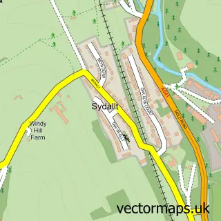
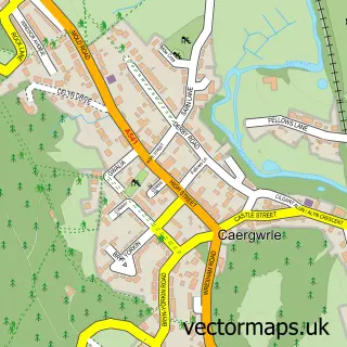
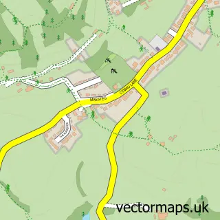
Nearby street map samples around Cefn-y-bedd


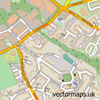
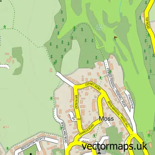
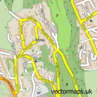
More street maps in Clwyd
750 metre map area coverage
Boundary, postcode and point of interest information for the 750m x 750m rectangle centred on this sample map.
Boundaries containing map centre
Constituency: Alyn and Deeside Co Const
District: Sir y Fflint - Flintshire
Icb: Betsi Cadwaladr University
Parish: Llanfynydd Community
Police Force: north wales
Postcode District: LL12
Postcode Sector: LL12 9
Nearby boundaries intersecting sample
Constituency: Wrexham Co Const
District: Wrecsam - Wrexham
Parish: Gwersyllt Community, Hope Community, Llay Community
Postcode coverage
POI category counts
Irish Pub: 2
Active Life: 1
Alternative Medicine: 1
Chimney Sweep: 1
Computer Store: 1
Contractor: 1
Elementary School: 1
It Service And Computer Repair: 1
Landmark And Historical Building: 1
Landscaping: 1
Sample points of interest
- Peacock Pod
- Delwyn Hypnosis
- Alyn Fireplaces
- PC Input (Wrexham)
- On The Tiles Wrexham Mold Chester
- Abermorddu County Primary School
- The Hollybush
- The Hollybush
- The Tech Heroes
- Abermorddu
- Evans Fencing & Tree Care
- Wyndham Drive Park
Create a larger editable map of Cefn-y-bedd
This sample shows only a 750 metre area. To create a larger map of Cefn-y-bedd, use our map builder to choose your own coverage area, add titles and download editable SVG, PDF and PNG files.
Create a custom map of Cefn-y-bedd