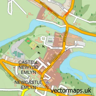
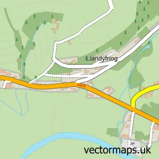
This Adpar street map is a detailed vector street map covering a 750m x 750m area. Select a larger area to create and download your own vector street map of Adpar.
The 750-metre map sample for Adpar covers 229 mapped buildings and approximately 12.8 km of road detail, of which 12 named roads are named. The immediate area includes 1 school, 2 pubs and 2 MOT stations within 2 miles. The wider area around Adpar features 2 tourism points of interest, 8 food and drink venues and 3 hotels. To create a larger or custom map of Adpar, the map builder lets you define your own coverage area and download editable SVG, PDF and PNG files.
Create a larger editable map of Adpar
Choose any area you need and generate a high-quality vector map instantly. Perfect for print, planning, design, business and personal use.

This Adpar street map in Dyfed is available as downloadable SVG, PDF and PNG map files, or as a printed map for planning, business, display, education, local information and design work. You can also create a larger custom map area using the map selector.
What this Adpar map sample shows
Adpar lies within Newcastle Emlyn Community parish, part of Cenarth ward in the Sir Gaerfyrddin - Carmarthenshire local authority area. The postcode geography for this area includes the SA postcode area, the SA38 postcode district and the SA38 9 postcode sector. Residents fall under the Hywel Dda University Health Board for NHS services.
Local features near Adpar
Within 2 milesAmenities and services in and around Adpar.
Administrative and postcode information for Adpar
Adpar lies within Newcastle Emlyn Community parish, part of Cenarth ward in the Sir Gaerfyrddin - Carmarthenshire local authority area. The postcode geography for this area includes the SA postcode area, the SA38 postcode district and the SA38 9 postcode sector. Residents fall under the Hywel Dda University Health Board for NHS services.
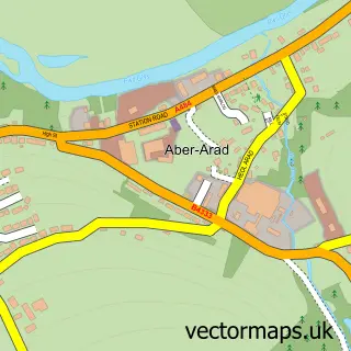
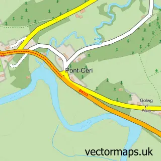
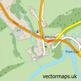
Nearby street map samples around Adpar


More street maps in Dyfed
750 metre map area coverage
Boundary, postcode and point of interest information for the 750m x 750m rectangle centred on this sample map.
Boundaries containing map centre
Constituency: Ceredigion Preseli Co Const
District: Sir Ceredigion - Ceredigion
Icb: Hywel Dda
Parish: Llandyfriog Community
Police Force: dyfed-powys
Postcode District: SA38
Postcode Sector: SA38 9
Nearby boundaries intersecting sample
Constituency: Caerfyrddin Co Const
District: Sir Gaerfyrddin - Carmarthenshire
Parish: Newcastle Emlyn Community
Postcode coverage
POI category counts
Restaurant: 4
Flowers And Gifts Shop: 3
Hotel: 3
Building Supply Store: 2
Hair Salon: 2
Library: 2
Pub: 2
Sports Club And League: 2
Agricultural Cooperatives: 1
Agricultural Service: 1
Sample points of interest
- CCF Newcastle Emlyn Branch
- Agri Trader
- Holy Trinity Church
- Castle Architectural Designs
- Gabrielles Gallery
- The Welsh Wool Shop
- Nahar Indian Cuisine
- adpar garage and body repairs
- Lloyds Bank
- Edit Barbershop
- The Therapi Rooms
- Adpar Building Supplies
Create a larger editable map of Adpar
This sample shows only a 750 metre area. To create a larger map of Adpar, use our map builder to choose your own coverage area, add titles and download editable SVG, PDF and PNG files.
Create a custom map of Adpar