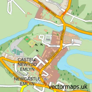
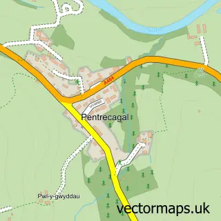
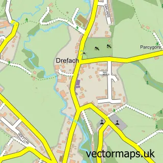
This Aber-Arad street map is a detailed vector street map covering a 750m x 750m area. Select a larger area to create and download your own vector street map of Aber-Arad.
The 750-metre map sample for Aber-Arad covers 158 mapped buildings and approximately 14.5 km of road detail, of which 9 named roads are named. The immediate area includes 3 pubs and 1 MOT station, with 2 within 2 miles. The wider area around Aber-Arad features 3 food and drink venues and 2 campsites within 2 miles. To create a larger or custom map of Aber-Arad, the map builder lets you define your own coverage area and download editable SVG, PDF and PNG files.
Create a larger editable map of Aber-Arad
Choose any area you need and generate a high-quality vector map instantly. Perfect for print, planning, design, business and personal use.

This Aber-Arad street map in Dyfed is available as downloadable SVG, PDF and PNG map files, or as a printed map for planning, business, display, education, local information and design work. You can also create a larger custom map area using the map selector.
What this Aber-Arad map sample shows
Aber-Arad lies within Newcastle Emlyn Community parish, part of Cenarth ward in the Sir Gaerfyrddin - Carmarthenshire local authority area. The postcode geography for this area includes the SA postcode area, the SA38 postcode district and the SA38 9 postcode sector. Residents fall under the Hywel Dda University Health Board for NHS services.
Local features near Aber-Arad
Within 2 milesAmenities and services in and around Aber-Arad.
Administrative and postcode information for Aber-Arad
Aber-Arad lies within Newcastle Emlyn Community parish, part of Cenarth ward in the Sir Gaerfyrddin - Carmarthenshire local authority area. The postcode geography for this area includes the SA postcode area, the SA38 postcode district and the SA38 9 postcode sector. Residents fall under the Hywel Dda University Health Board for NHS services.
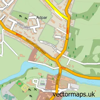
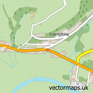
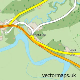
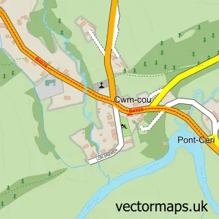
Nearby street map samples around Aber-Arad

More street maps in Dyfed
750 metre map area coverage
Boundary, postcode and point of interest information for the 750m x 750m rectangle centred on this sample map.
Boundaries containing map centre
Constituency: Caerfyrddin Co Const
District: Sir Gaerfyrddin - Carmarthenshire
Icb: Hywel Dda
Parish: Newcastle Emlyn Community
Police Force: dyfed-powys
Postcode District: SA38
Postcode Sector: SA38 9
Nearby boundaries intersecting sample
Constituency: Ceredigion Preseli Co Const
District: Sir Ceredigion - Ceredigion
Parish: Llandyfriog Community
Postcode coverage
POI category counts
Pub: 3
Automotive Services And Repair: 2
Building Supply Store: 2
Accountant: 1
Advertising Agency: 1
Automotive Dealer: 1
Automotive Parts And Accessories: 1
Bed And Breakfast: 1
Cheese Shop: 1
Computer Store: 1
Sample points of interest
- Ashmole & Co.
- Adsland
- Ceir Castle Motors Ltd
- Autoparts
- BCC IT Solutions
- Telemat I.T Support
- Melin Pandy
- Melingoed LTD
- Teifi Valley Building Supplies
- Dairy Partners Cymru Wales
- BCC IT Solutions
- Nisa Extra
Create a larger editable map of Aber-Arad
This sample shows only a 750 metre area. To create a larger map of Aber-Arad, use our map builder to choose your own coverage area, add titles and download editable SVG, PDF and PNG files.
Create a custom map of Aber-Arad