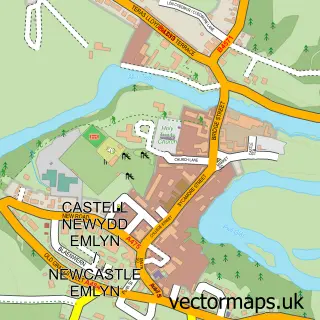
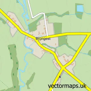
This Cwm-Cou street map is a detailed vector street map covering a 750m x 750m area. Select a larger area to create and download your own vector street map of Cwm-Cou.
The 750-metre map sample for Cwm-Cou covers 65 mapped buildings and approximately 12.4 km of road detail, of which 1 named road are named. The immediate area includes 3 MOT stations within 2 miles. The wider area around Cwm-Cou features 2 campsites within 2 miles. To create a larger or custom map of Cwm-Cou, the map builder lets you define your own coverage area and download editable SVG, PDF and PNG files.
Create a larger editable map of Cwm-Cou
Choose any area you need and generate a high-quality vector map instantly. Perfect for print, planning, design, business and personal use.

This Cwm-Cou street map in Dyfed is available as downloadable SVG, PDF and PNG map files, or as a printed map for planning, business, display, education, local information and design work. You can also create a larger custom map area using the map selector.
What this Cwm-Cou map sample shows
Cwm-Cou lies within Beulah Community parish, part of Beulah ward in the Sir Ceredigion - Ceredigion local authority area. The postcode geography for this area includes the SA postcode area, the SA38 postcode district and the SA38 9 postcode sector. Residents fall under the Hywel Dda University Health Board for NHS services.
Local features near Cwm-Cou
Within 2 milesAmenities and services in and around Cwm-Cou.
Administrative and postcode information for Cwm-Cou
Cwm-Cou lies within Beulah Community parish, part of Beulah ward in the Sir Ceredigion - Ceredigion local authority area. The postcode geography for this area includes the SA postcode area, the SA38 postcode district and the SA38 9 postcode sector. Residents fall under the Hywel Dda University Health Board for NHS services.
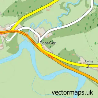
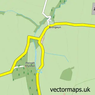
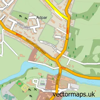
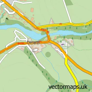
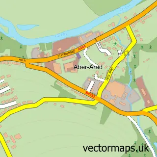
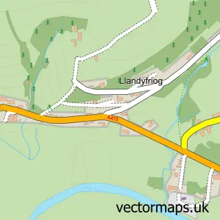
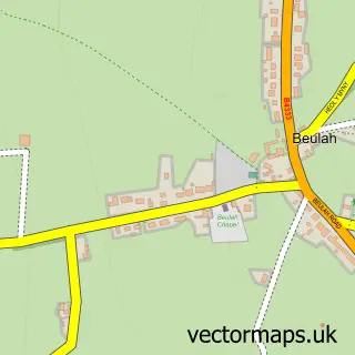
Nearby street map samples around Cwm-Cou

More street maps in Dyfed
750 metre map area coverage
Boundary, postcode and point of interest information for the 750m x 750m rectangle centred on this sample map.
Boundaries containing map centre
Constituency: Ceredigion Preseli Co Const
District: Sir Ceredigion - Ceredigion
Icb: Hywel Dda
Parish: Beulah Community
Police Force: dyfed-powys
Postcode District: SA38
Postcode Sector: SA38 9
Nearby boundaries intersecting sample
Constituency: Caerfyrddin Co Const
District: Sir Gaerfyrddin - Carmarthenshire
Parish: Cenarth Community, Llandyfriog Community
Postcode coverage
POI category counts
Appliance Repair Service: 1
Disc Golf Course: 1
Event Planning: 1
Event Technology Service: 1
Sample points of interest
- Printer repair
- Felin Geri Disc Golf
- 24 Carrot Events
- Hannah Holtom
Create a larger editable map of Cwm-Cou
This sample shows only a 750 metre area. To create a larger map of Cwm-Cou, use our map builder to choose your own coverage area, add titles and download editable SVG, PDF and PNG files.
Create a custom map of Cwm-Cou