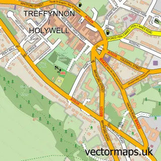
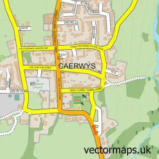
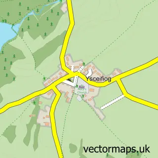
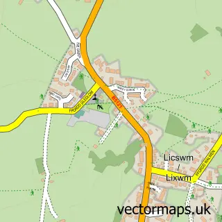
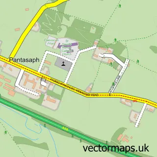
This Afon-wen street map is a detailed vector street map covering a 750m x 750m area. Select a larger area to create and download your own vector street map of Afon-wen.
The 750-metre map sample for Afon-wen covers 90 mapped buildings and approximately 11.2 km of road detail, of which 1 named road are named. The immediate area includes 1 MOT station. The wider area around Afon-wen features 1 tourism point of interest, 2 food and drink venues and 1 hotel. To create a larger or custom map of Afon-wen, the map builder lets you define your own coverage area and download editable SVG, PDF and PNG files.
Create a larger editable map of Afon-wen
Choose any area you need and generate a high-quality vector map instantly. Perfect for print, planning, design, business and personal use.

This Afon-wen street map in Clwyd is available as downloadable SVG, PDF and PNG map files, or as a printed map for planning, business, display, education, local information and design work. You can also create a larger custom map area using the map selector.
What this Afon-wen map sample shows
Afon-wen lies within Caerwys Community parish, part of Caerwys ward in the Sir Y Fflint - Flintshire local authority area. The postcode geography for this area includes the CH postcode area, the CH7 postcode district and the CH7 5 postcode sector. Residents fall under the Betsi Cadwaladr University Health Board for NHS services.
Local features near Afon-wen
Within 2 milesAmenities and services in and around Afon-wen.
Administrative and postcode information for Afon-wen
The local authority covering Afon-wen is Sir Y Fflint - Flintshire, within the county of Clwyd. The settlement lies within Caerwys ward and Caerwys Community civil parish. The CH7 postcode district and CH7 5 postcode sector serve the immediate area. NHS provision in the area is delivered through Betsi Cadwaladr University Health Board.
Nearby street map samples around Afon-wen

More street maps in Clwyd
750 metre map area coverage
Boundary, postcode and point of interest information for the 750m x 750m rectangle centred on this sample map.
Boundaries containing map centre
Constituency: Clwyd East Co Const
District: Sir y Fflint - Flintshire
Icb: Betsi Cadwaladr University
Parish: Caerwys Community
Police Force: north wales
Postcode District: CH7
Postcode Sector: CH7 5
Nearby boundaries intersecting sample
District: Sir Ddinbych - Denbighshire
Parish: Aberwheeler Community, Ysceifiog Community
Postcode District: LL16
Postcode Sector: LL16 4
Postcode coverage
POI category counts
Bed And Breakfast: 2
Craft Shop: 2
Restaurant: 2
Train Station: 2
Advertising Agency: 1
American Restaurant: 1
Antique Store: 1
Business Management Services: 1
Business To Business Services: 1
Campground: 1
Sample points of interest
- The Ann Savva Group
- Pwllgwyn
- Afonwen Craft & Antique Centre
- Coach House at Maes Y Coed
- Mountain View (U.K.) Ltd.
- M And M Pest Control
- Securiweld LTD.
- Acorn Leisure
- Afonwen Craft & Antique Centre
- Afonwen Craft & Antique Centre
- Caban Dan Sêr
- Moelyparc Welsh Mountain Ponies
Create a larger editable map of Afon-wen
This sample shows only a 750 metre area. To create a larger map of Afon-wen, use our map builder to choose your own coverage area, add titles and download editable SVG, PDF and PNG files.
Create a custom map of Afon-wen