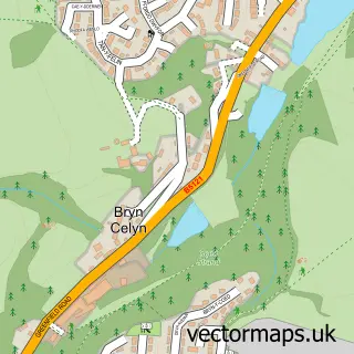
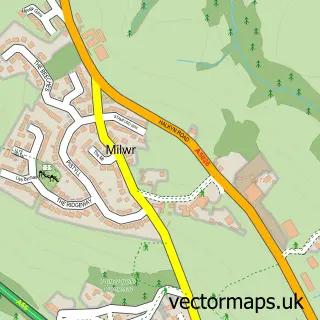
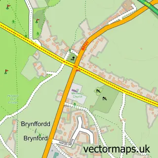
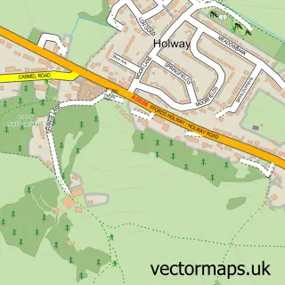
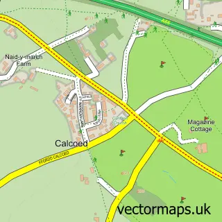
This Holywell street map is a detailed vector street map covering a 750m x 750m area. Select a larger area to create and download your own vector street map of Holywell.
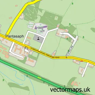
The 750-metre map sample for Holywell covers 386 mapped buildings and approximately 16.6 km of road detail, of which 33 named roads are named. The immediate area includes 5 pubs and 1 MOT station, with 3 within 2 miles. The wider area around Holywell features 3 tourism points of interest, 9 food and drink venues and 2 hotels. To create a larger or custom map of Holywell, the map builder lets you define your own coverage area and download editable SVG, PDF and PNG files.
Create a larger editable map of Holywell
Choose any area you need and generate a high-quality vector map instantly. Perfect for print, planning, design, business and personal use.

This Holywell street map in Clwyd is available as downloadable SVG, PDF and PNG map files, or as a printed map for planning, business, display, education, local information and design work. You can also create a larger custom map area using the map selector.
What this Holywell map sample shows
Holywell lies within Holywell Community parish, part of Holywell Central ward in the Sir Y Fflint - Flintshire local authority area. The postcode geography for this area includes the CH postcode area, the CH8 postcode district and the CH8 7 postcode sector. Residents fall under the Betsi Cadwaladr University Health Board for NHS services.
Local features near Holywell
Within 2 milesAmenities and services in and around Holywell.
Administrative and postcode information for Holywell
The local authority covering Holywell is Sir Y Fflint - Flintshire, within the county of Clwyd. The settlement lies within Holywell Central ward and Holywell Community civil parish. The CH8 postcode district and CH8 7 postcode sector serve the immediate area. NHS provision in the area is delivered through Betsi Cadwaladr University Health Board.
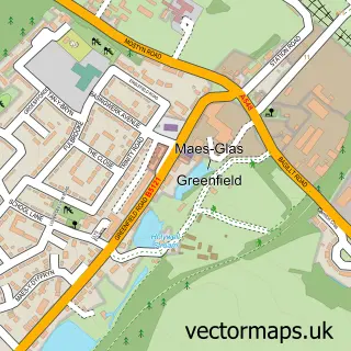
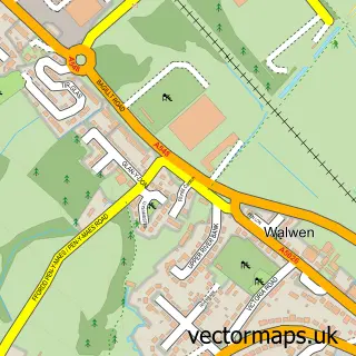
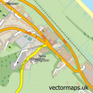
Nearby street map samples around Holywell

More street maps in Clwyd
750 metre map area coverage
Boundary, postcode and point of interest information for the 750m x 750m rectangle centred on this sample map.
Boundaries containing map centre
Constituency: Clwyd East Co Const
District: Sir y Fflint - Flintshire
Icb: Betsi Cadwaladr University
Parish: Holywell Community
Police Force: north wales
Postcode District: CH8
Postcode Sector: CH8 7
Nearby boundaries intersecting sample
Postcode Sector: CH8 8
Postcode coverage
POI category counts
Real Estate Agent: 8
Barber: 5
Pub: 5
Beauty Salon: 4
Chinese Restaurant: 4
Convenience Store: 4
Flowers And Gifts Shop: 4
Pharmacy: 4
Banks: 3
Charity Organization: 3
Sample points of interest
- Crossroads Holywell
- Azets
- Nexus Creative Spaces
- Rev James Thompson Ph.D
- Holywell Amateur Swimming Club
- Poppy's Collectables
- The Teddy Bear Nurse
- Tower Crafts Holywell
- Glyn Rhosyn Care Home
- PayPoint
- Chris Birchall
- ChipsAway North Wales
Create a larger editable map of Holywell
This sample shows only a 750 metre area. To create a larger map of Holywell, use our map builder to choose your own coverage area, add titles and download editable SVG, PDF and PNG files.
Create a custom map of Holywell