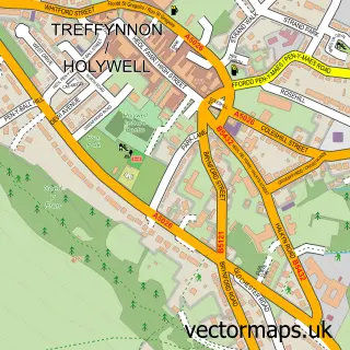
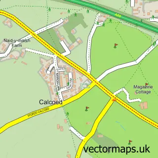
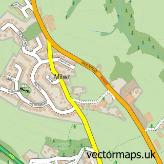
This Holway street map is a detailed vector street map covering a 750m x 750m area. Select a larger area to create and download your own vector street map of Holway.
The 750-metre map sample for Holway covers 229 mapped buildings and approximately 8.5 km of road detail, of which 14 named roads are named. The immediate area includes 5 MOT stations within 2 miles. The wider area around Holway features 1 food and drink venue. To create a larger or custom map of Holway, the map builder lets you define your own coverage area and download editable SVG, PDF and PNG files.
Create a larger editable map of Holway
Choose any area you need and generate a high-quality vector map instantly. Perfect for print, planning, design, business and personal use.

This Holway street map in Clwyd is available as downloadable SVG, PDF and PNG map files, or as a printed map for planning, business, display, education, local information and design work. You can also create a larger custom map area using the map selector.
What this Holway map sample shows
Holway lies within Holywell Community parish, part of Holywell West ward in the Sir Y Fflint - Flintshire local authority area. The postcode geography for this area includes the CH postcode area, the CH8 postcode district and the CH8 7 postcode sector. Residents fall under the Betsi Cadwaladr University Health Board for NHS services.
Local features near Holway
Within 2 milesAmenities and services in and around Holway.
Administrative and postcode information for Holway
Holway lies within Holywell Community parish, part of Holywell West ward in the Sir Y Fflint - Flintshire local authority area. The postcode geography for this area includes the CH postcode area, the CH8 postcode district and the CH8 7 postcode sector. Residents fall under the Betsi Cadwaladr University Health Board for NHS services.
Nearby street map samples around Holway

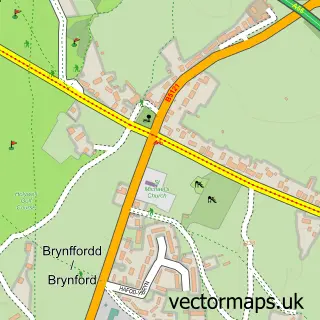
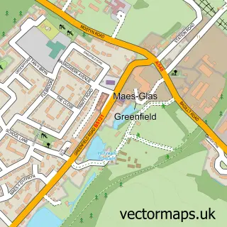
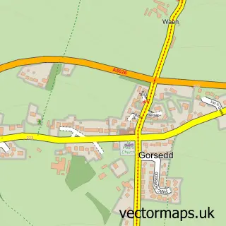
More street maps in Clwyd
750 metre map area coverage
Boundary, postcode and point of interest information for the 750m x 750m rectangle centred on this sample map.
Boundaries containing map centre
Constituency: Clwyd East Co Const
District: Sir y Fflint - Flintshire
Icb: Betsi Cadwaladr University
Parish: Holywell Community
Police Force: north wales
Postcode District: CH8
Postcode Sector: CH8 7
Nearby boundaries intersecting sample
Parish: Brynford Community, Whitford Community
Postcode Sector: CH8 8
Postcode coverage
POI category counts
Gas Station: 6
Convenience Store: 2
Automotive Repair: 1
Beauty And Spa: 1
Church Cathedral: 1
Coffee Shop: 1
Education: 1
Food Delivery Service: 1
Graphic Designer: 1
Grocery Store: 1
Sample points of interest
- Holway Garage
- North Wales Academy of Complementary Therapies and Beauty
- Holywell Spiritualist Church
- Costa Express
- Nisa Local Holway Rd
- Premier
- Teddy Bear Children Support Ltd
- Evri ParcelShop
- ASCONA HOLYWELL
- Ascona Holywell Service Station
- Holway Garage
- TEXACO Station
Create a larger editable map of Holway
This sample shows only a 750 metre area. To create a larger map of Holway, use our map builder to choose your own coverage area, add titles and download editable SVG, PDF and PNG files.
Create a custom map of Holway