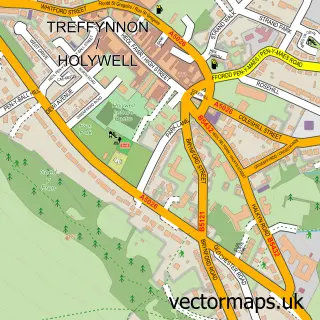
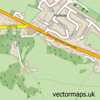
This Greenfield street map is a detailed vector street map covering a 750m x 750m area. Select a larger area to create and download your own vector street map of Greenfield.
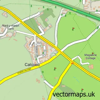
The 750-metre map sample for Greenfield covers 318 mapped buildings and approximately 15.2 km of road detail, of which 21 named roads are named. The immediate area includes 1 school, 1 pub and 3 MOT stations within 2 miles. The wider area around Greenfield features 2 tourism points of interest and 3 food and drink venues. To create a larger or custom map of Greenfield, the map builder lets you define your own coverage area and download editable SVG, PDF and PNG files.
Create a larger editable map of Greenfield
Choose any area you need and generate a high-quality vector map instantly. Perfect for print, planning, design, business and personal use.

This Greenfield street map in Clwyd is available as downloadable SVG, PDF and PNG map files, or as a printed map for planning, business, display, education, local information and design work. You can also create a larger custom map area using the map selector.
What this Greenfield map sample shows
Greenfield lies within Holywell Community parish, part of Greenfield ward in the Sir Y Fflint - Flintshire local authority area. The postcode geography for this area includes the CH postcode area, the CH8 postcode district and the CH8 7 postcode sector. Residents fall under the Betsi Cadwaladr University Health Board for NHS services.
Local features near Greenfield
Within 2 milesAmenities and services in and around Greenfield.
Administrative and postcode information for Greenfield
Greenfield lies within Holywell Community parish, part of Greenfield ward in the Sir Y Fflint - Flintshire local authority area. The postcode geography for this area includes the CH postcode area, the CH8 postcode district and the CH8 7 postcode sector. Residents fall under the Betsi Cadwaladr University Health Board for NHS services.
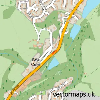
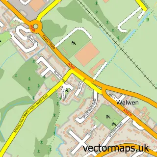
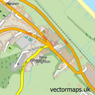
Nearby street map samples around Greenfield

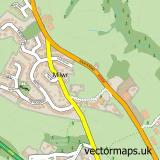
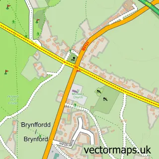
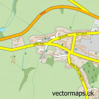
More street maps in Clwyd
750 metre map area coverage
Boundary, postcode and point of interest information for the 750m x 750m rectangle centred on this sample map.
Boundaries containing map centre
Constituency: Clwyd East Co Const
District: Sir y Fflint - Flintshire
Icb: Betsi Cadwaladr University
Parish: Holywell Community
Police Force: north wales
Postcode District: CH8
Postcode Sector: CH8 7
Nearby boundaries intersecting sample
Postcode Sector: CH8 9
Postcode coverage
POI category counts
Professional Services: 3
Caterer: 2
Church Cathedral: 2
Convenience Store: 2
Engineering Services: 2
Financial Service: 2
Home Health Care: 2
Paper Mill: 2
Park: 2
Printing Services: 2
Sample points of interest
- Top Dogs Travel Airport Transfers
- Payzone
- Mobile Money
- McGills Car & Commercial
- Salon Twenty Five
- Blush - Hair & Beauty
- All Electric
- Cyd Innovation Ltd.
- Freshfields
- Express Hand Car Wash
- Savoy Caterers
- Savoy Catering
Create a larger editable map of Greenfield
This sample shows only a 750 metre area. To create a larger map of Greenfield, use our map builder to choose your own coverage area, add titles and download editable SVG, PDF and PNG files.
Create a custom map of Greenfield