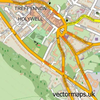
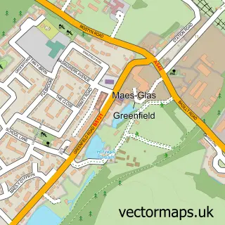
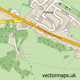
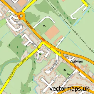
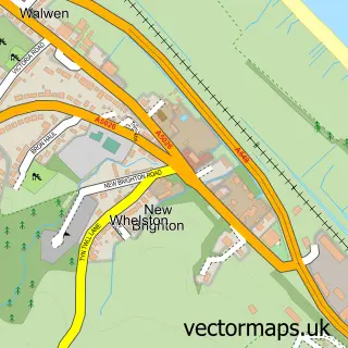
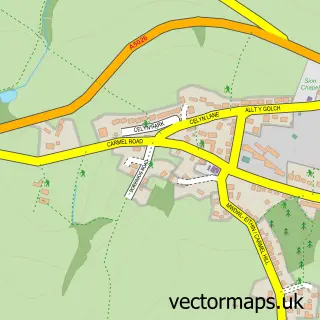
This Bryn Celyn street map is a detailed vector street map covering a 750m x 750m area. Select a larger area to create and download your own vector street map of Bryn Celyn.
The 750-metre map sample for Bryn Celyn covers 185 mapped buildings and approximately 8.1 km of road detail, of which 15 named roads are named. The immediate area includes 3 MOT stations within 2 miles. The wider area around Bryn Celyn features 2 tourism points of interest and 1 hotel. To create a larger or custom map of Bryn Celyn, the map builder lets you define your own coverage area and download editable SVG, PDF and PNG files.
Create a larger editable map of Bryn Celyn
Choose any area you need and generate a high-quality vector map instantly. Perfect for print, planning, design, business and personal use.

This Bryn Celyn street map in Clwyd is available as downloadable SVG, PDF and PNG map files, or as a printed map for planning, business, display, education, local information and design work. You can also create a larger custom map area using the map selector.
What this Bryn Celyn map sample shows
Bryn Celyn lies within Holywell Community parish, part of Holywell Central ward in the Sir Y Fflint - Flintshire local authority area. The postcode geography for this area includes the CH postcode area, the CH8 postcode district and the CH8 7 postcode sector. Residents fall under the Betsi Cadwaladr University Health Board for NHS services.
Local features near Bryn Celyn
Within 2 milesAmenities and services in and around Bryn Celyn.
Administrative and postcode information for Bryn Celyn
The local authority covering Bryn Celyn is Sir Y Fflint - Flintshire, within the county of Clwyd. The settlement lies within Holywell Central ward and Holywell Community civil parish. The CH8 postcode district and CH8 7 postcode sector serve the immediate area. NHS provision in the area is delivered through Betsi Cadwaladr University Health Board.
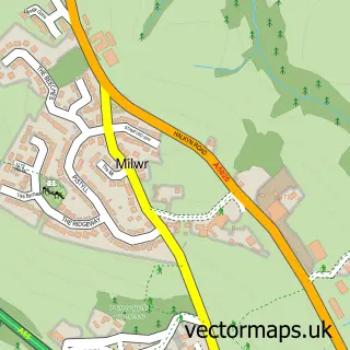
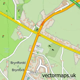
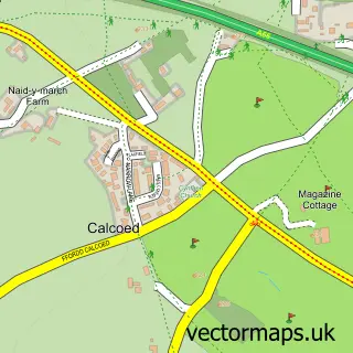
Nearby street map samples around Bryn Celyn

More street maps in Clwyd
750 metre map area coverage
Boundary, postcode and point of interest information for the 750m x 750m rectangle centred on this sample map.
Boundaries containing map centre
Constituency: Clwyd East Co Const
District: Sir y Fflint - Flintshire
Icb: Betsi Cadwaladr University
Parish: Holywell Community
Police Force: north wales
Postcode District: CH8
Postcode Sector: CH8 7
Nearby boundaries intersecting sample
No additional intersecting boundaries found.
Postcode coverage
POI category counts
Automotive Repair: 1
Bar: 1
Convenience Store: 1
Furniture Store: 1
Hotel: 1
Museum: 1
Nail Salon: 1
Rental Kiosks: 1
Shopping: 1
Tableware Supplier: 1
Sample points of interest
- Performance cars-car repair-automobiliu remontas
- The Royal Oak
- Co-op St Asaph
- Furniture Outlet
- Mountain Park Hotel, Flint
- Greenfield Valley Service Station
- Nails by Stacey Swan
- Costa Express
- Brenig
- Steven Crane Plumbing & Tiling
- Holywell branch line
- Greenhill Alpaca Trekking
Create a larger editable map of Bryn Celyn
This sample shows only a 750 metre area. To create a larger map of Bryn Celyn, use our map builder to choose your own coverage area, add titles and download editable SVG, PDF and PNG files.
Create a custom map of Bryn Celyn