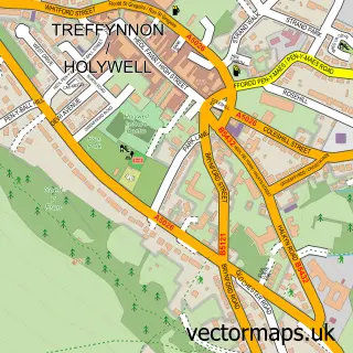
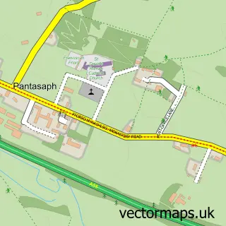
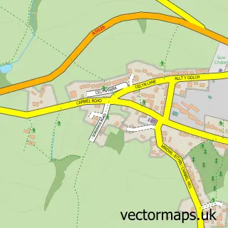
This Brynford street map is a detailed vector street map covering a 750m x 750m area. Select a larger area to create and download your own vector street map of Brynford.
The 750-metre map sample for Brynford covers 146 mapped buildings and approximately 14.5 km of road detail, of which 1 named road are named. The immediate area includes 1 school and 3 MOT stations within 2 miles. To create a larger or custom map of Brynford, the map builder lets you define your own coverage area and download editable SVG, PDF and PNG files.
Create a larger editable map of Brynford
Choose any area you need and generate a high-quality vector map instantly. Perfect for print, planning, design, business and personal use.

This Brynford street map in Clwyd is available as downloadable SVG, PDF and PNG map files, or as a printed map for planning, business, display, education, local information and design work. You can also create a larger custom map area using the map selector.
What this Brynford map sample shows
Brynford lies within Brynford Community parish, part of Brynford ward in the Sir Y Fflint - Flintshire local authority area. The postcode geography for this area includes the CH postcode area, the CH8 postcode district and the CH8 8 postcode sector. Residents fall under the Betsi Cadwaladr University Health Board for NHS services.
Local features near Brynford
Within 2 milesAmenities and services in and around Brynford.
Administrative and postcode information for Brynford
Brynford lies within Brynford Community parish, part of Brynford ward in the Sir Y Fflint - Flintshire local authority area. The postcode geography for this area includes the CH postcode area, the CH8 postcode district and the CH8 8 postcode sector. Residents fall under the Betsi Cadwaladr University Health Board for NHS services.
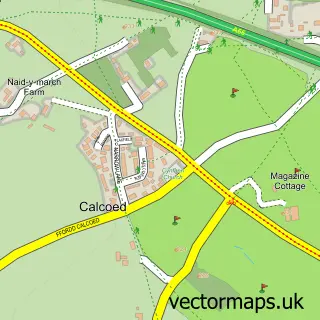
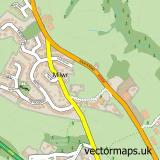
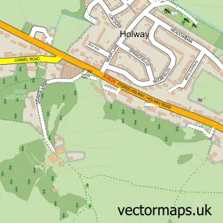
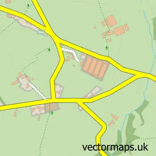
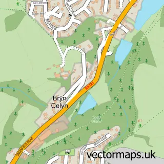
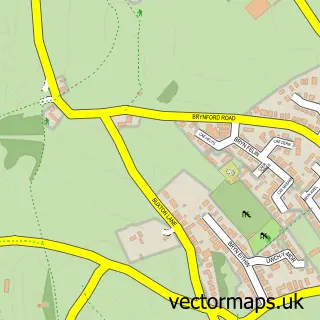
Nearby street map samples around Brynford

More street maps in Clwyd
750 metre map area coverage
Boundary, postcode and point of interest information for the 750m x 750m rectangle centred on this sample map.
Boundaries containing map centre
Constituency: Clwyd East Co Const
District: Sir y Fflint - Flintshire
Icb: Betsi Cadwaladr University
Parish: Brynford Community
Police Force: north wales
Postcode District: CH8
Postcode Sector: CH8 8
Nearby boundaries intersecting sample
No additional intersecting boundaries found.
Postcode coverage
POI category counts
Driving School: 2
Child Care And Day Care: 1
Church Cathedral: 1
Convenience Store: 1
Cremation Services: 1
Day Care Preschool: 1
Freight And Cargo Service: 1
Golf Course: 1
Playground: 1
School: 1
Sample points of interest
- The Wendy House Day Nursery
- St Michael's Church
- Brynford Stores
- Pet Funeral Services
- The Wendy House Day Nursery
- Abbey School of Motoring
- Tim Loftus
- Chester Couriers
- Holywell Golf Club
- Brynford Playground
- Brynford County Primary School
Create a larger editable map of Brynford
This sample shows only a 750 metre area. To create a larger map of Brynford, use our map builder to choose your own coverage area, add titles and download editable SVG, PDF and PNG files.
Create a custom map of Brynford