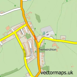
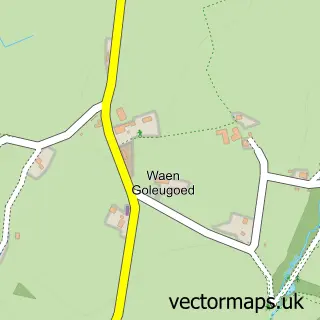
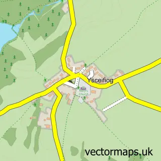
This Bodfari street map is a detailed vector street map covering a 750m x 750m area. Select a larger area to create and download your own vector street map of Bodfari.
The 750-metre map sample for Bodfari covers 68 mapped buildings and approximately 8.2 km of road detail, of which 1 named road are named. The immediate area includes 1 school, 2 pubs and 1 MOT station within 2 miles. The wider area around Bodfari features 1 tourism point of interest, 2 food and drink venues and 2 hotels. To create a larger or custom map of Bodfari, the map builder lets you define your own coverage area and download editable SVG, PDF and PNG files.
Create a larger editable map of Bodfari
Choose any area you need and generate a high-quality vector map instantly. Perfect for print, planning, design, business and personal use.

This Bodfari street map in Clwyd is available as downloadable SVG, PDF and PNG map files, or as a printed map for planning, business, display, education, local information and design work. You can also create a larger custom map area using the map selector.
What this Bodfari map sample shows
Bodfari lies within Bodfari Community parish, part of Tremeirchion ward in the Sir Ddinbych - Denbighshire local authority area. The postcode geography for this area includes the LL postcode area, the LL16 postcode district and the LL16 4 postcode sector. Residents fall under the Betsi Cadwaladr University Health Board for NHS services.
Local features near Bodfari
Within 2 milesAmenities and services in and around Bodfari.
Administrative and postcode information for Bodfari
Bodfari lies within Bodfari Community parish, part of Tremeirchion ward in the Sir Ddinbych - Denbighshire local authority area. The postcode geography for this area includes the LL postcode area, the LL16 postcode district and the LL16 4 postcode sector. Residents fall under the Betsi Cadwaladr University Health Board for NHS services.
Nearby street map samples around Bodfari
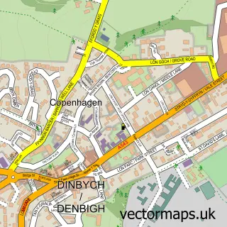

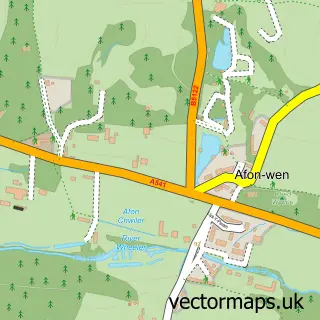
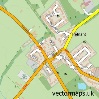
More street maps in Clwyd
750 metre map area coverage
Boundary, postcode and point of interest information for the 750m x 750m rectangle centred on this sample map.
Boundaries containing map centre
Constituency: Clwyd East Co Const
District: Sir Ddinbych - Denbighshire
Icb: Betsi Cadwaladr University
Parish: Bodfari Community
Police Force: north wales
Postcode District: LL16
Postcode Sector: LL16 4
Nearby boundaries intersecting sample
Parish: Aberwheeler Community
Postcode coverage
POI category counts
Pub: 2
Accommodation: 1
Active Life: 1
Building Supply Store: 1
Campground: 1
Elementary School: 1
Equestrian Facility: 1
Holiday Rental Home: 1
Hotel: 1
Hypnosis Hypnotherapy: 1
Sample points of interest
- Holiday Cottage at 1 Church Terrace
- Llyn Derwen Coarse Fishery
- Clwyd Concrete Co
- Station House Caravan Park
- Ysgol Bodfari
- FM Equine
- Glampio Parc Offa Glamping
- Tuolumne Cottage
- Wordzwork Hypnotherapy/Hypnosis
- Dinorben Arms
- The Dinorben Arms
- Station House Caravan Park
Create a larger editable map of Bodfari
This sample shows only a 750 metre area. To create a larger map of Bodfari, use our map builder to choose your own coverage area, add titles and download editable SVG, PDF and PNG files.
Create a custom map of Bodfari