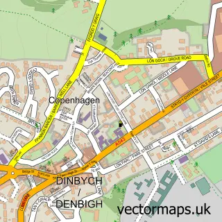
This Llandyrnog street map is a detailed vector street map covering a 750m x 750m area. Select a larger area to create and download your own vector street map of Llandyrnog.
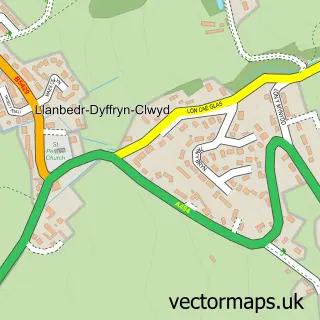
The 750-metre map sample for Llandyrnog covers 148 mapped buildings and approximately 7.1 km of road detail, of which 6 named roads are named. The immediate area includes 1 school, 1 pub and 1 MOT station within 2 miles. The wider area around Llandyrnog features 1 food and drink venue and 1 hotel. To create a larger or custom map of Llandyrnog, the map builder lets you define your own coverage area and download editable SVG, PDF and PNG files.
Create a larger editable map of Llandyrnog
Choose any area you need and generate a high-quality vector map instantly. Perfect for print, planning, design, business and personal use.

This Llandyrnog street map in Clwyd is available as downloadable SVG, PDF and PNG map files, or as a printed map for planning, business, display, education, local information and design work. You can also create a larger custom map area using the map selector.
What this Llandyrnog map sample shows
Llandyrnog lies within Llandyrnog Community parish, part of Llandyrnog ward in the Sir Ddinbych - Denbighshire local authority area. The postcode geography for this area includes the LL postcode area, the LL16 postcode district and the LL16 4 postcode sector. Residents fall under the Betsi Cadwaladr University Health Board for NHS services.
Local features near Llandyrnog
Within 2 milesAmenities and services in and around Llandyrnog.
Administrative and postcode information for Llandyrnog
Llandyrnog lies within Llandyrnog Community parish, part of Llandyrnog ward in the Sir Ddinbych - Denbighshire local authority area. The postcode geography for this area includes the LL postcode area, the LL16 postcode district and the LL16 4 postcode sector. Residents fall under the Betsi Cadwaladr University Health Board for NHS services.
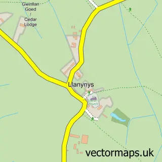
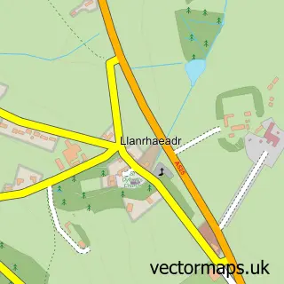
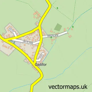
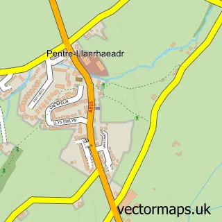
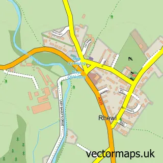
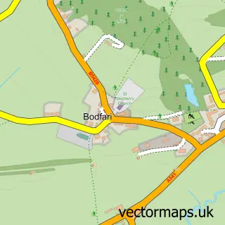
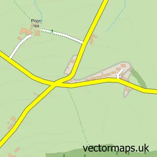
Nearby street map samples around Llandyrnog

More street maps in Clwyd
750 metre map area coverage
Boundary, postcode and point of interest information for the 750m x 750m rectangle centred on this sample map.
Boundaries containing map centre
Constituency: Clwyd East Co Const
District: Sir Ddinbych - Denbighshire
Icb: Betsi Cadwaladr University
Parish: Llandyrnog Community
Police Force: north wales
Postcode District: LL16
Postcode Sector: LL16 4
Nearby boundaries intersecting sample
No additional intersecting boundaries found.
Postcode coverage
POI category counts
Cabin: 1
Convenience Store: 1
Driving School: 1
Equestrian Facility: 1
Flowers And Gifts Shop: 1
Grocery Store: 1
Gym: 1
Hotel: 1
Pub: 1
Retail: 1
Sample points of interest
- Ty Gwyn Holiday Cottage
- Llandyrnog Community Shop
- Greenlight Driving School
- Tyrnog Retirement Livery
- Ty Ceffyl Bach
- Llandyrnog Village Hall
- The PT room
- Pentre Mawr Wedding Venue
- The Golden Lion
- Extremecleanz
- Llandyrnog United Football Club
- Sherriff Andy Specialist First Aid Training
Create a larger editable map of Llandyrnog
This sample shows only a 750 metre area. To create a larger map of Llandyrnog, use our map builder to choose your own coverage area, add titles and download editable SVG, PDF and PNG files.
Create a custom map of Llandyrnog