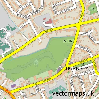
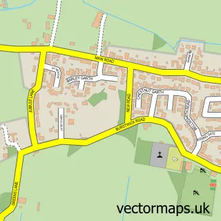
This Aldbrough street map is a detailed vector street map covering a 750m x 750m area. Select a larger area to create and download your own vector street map of Aldbrough.
The 750-metre map sample for Aldbrough covers 330 mapped buildings and approximately 13.1 km of road detail, of which 23 named roads are named. The immediate area includes 1 school and 3 pubs. The wider area around Aldbrough features 1 tourism point of interest, 3 food and drink venues and 1 hotel. To create a larger or custom map of Aldbrough, the map builder lets you define your own coverage area and download editable SVG, PDF and PNG files.
Create a larger editable map of Aldbrough
Choose any area you need and generate a high-quality vector map instantly. Perfect for print, planning, design, business and personal use.

This Aldbrough street map in East Riding of Yorkshire is available as downloadable SVG, PDF and PNG map files, or as a printed map for planning, business, display, education, local information and design work. You can also create a larger custom map area using the map selector.
What this Aldbrough map sample shows
Aldbrough lies within Aldbrough Cp parish, part of Mid Holderness ward in the East Riding Of Yorkshire local authority area. The postcode geography for this area includes the HU postcode area, the HU11 postcode district and the HU11 4 postcode sector. Residents fall under the Nhs Humber And North Yorkshire Integrated Care Board for NHS services.
Local features near Aldbrough
Within 2 milesAmenities and services in and around Aldbrough.
Administrative and postcode information for Aldbrough
Aldbrough lies within Aldbrough Cp parish, part of Mid Holderness ward in the East Riding Of Yorkshire local authority area. The postcode geography for this area includes the HU postcode area, the HU11 postcode district and the HU11 4 postcode sector. Residents fall under the Nhs Humber And North Yorkshire Integrated Care Board for NHS services.
Nearby street map samples around Aldbrough

More street maps in East Riding of Yorkshire
750 metre map area coverage
Boundary, postcode and point of interest information for the 750m x 750m rectangle centred on this sample map.
Boundaries containing map centre
Constituency: Beverley and Holderness Co Const
District: East Riding of Yorkshire
Icb: NHS Humber and North Yorkshire ICB
Parish: Aldbrough CP
Police Force: humberside
Postcode District: HU11
Postcode Sector: HU11 4
Ward: Mid Holderness Ward
Nearby boundaries intersecting sample
No additional intersecting boundaries found.
Postcode coverage
POI category counts
Convenience Store: 4
Pub: 3
Bridal Shop: 2
Craft Shop: 2
Anglican Church: 1
Arts And Crafts: 1
Beauty Salon: 1
Car Dealer: 1
Car Wash: 1
Community Services Non Profits: 1
Sample points of interest
- St Bartholomew
- Hazy view Pottery - Old Studio
- The Hair Room Welton
- Beyond the Frame Photography
- Ra & J Spott
- Conrad at Maple Garage
- Aldbrough car wash\n
- Aldbrough's baby and toddler group
- McColl's
- Morrisons Daily
- Premier Aldbrough
- Spar
Create a larger editable map of Aldbrough
This sample shows only a 750 metre area. To create a larger map of Aldbrough, use our map builder to choose your own coverage area, add titles and download editable SVG, PDF and PNG files.
Create a custom map of Aldbrough