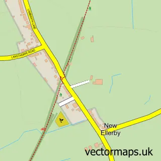
This Hornsea street map is a detailed vector street map covering a 750m x 750m area. Select a larger area to create and download your own vector street map of Hornsea.
The 750-metre map sample for Hornsea covers 451 mapped buildings and approximately 14.5 km of road detail, of which 38 named roads are named. The immediate area includes 1 primary school and 1 secondary school, 1 GP surgery, 4 pubs and 1 MOT station within 2 miles. The wider area around Hornsea features 7 tourism points of interest, 15 food and drink venues and 5 hotels. To create a larger or custom map of Hornsea, the map builder lets you define your own coverage area and download editable SVG, PDF and PNG files.
Create a larger editable map of Hornsea
Choose any area you need and generate a high-quality vector map instantly. Perfect for print, planning, design, business and personal use.

This Hornsea street map in East Riding of Yorkshire is available as downloadable SVG, PDF and PNG map files, or as a printed map for planning, business, display, education, local information and design work. You can also create a larger custom map area using the map selector.
What this Hornsea map sample shows
Hornsea lies within Hornsea Cp parish, part of North Holderness ward in the East Riding Of Yorkshire local authority area. The postcode geography for this area includes the HU postcode area, the HU18 postcode district and the HU18 1 postcode sector. Residents fall under the Nhs Humber And North Yorkshire Integrated Care Board for NHS services.
Local features near Hornsea
Within 2 milesAmenities and services in and around Hornsea.
Administrative and postcode information for Hornsea
The local authority covering Hornsea is East Riding Of Yorkshire, within the county of East Riding Of Yorkshire. The settlement lies within North Holderness ward and Hornsea Cp civil parish. The HU18 postcode district and HU18 1 postcode sector serve the immediate area. NHS provision in the area is delivered through Hull University Teaching Hospitals Nhs Trust.
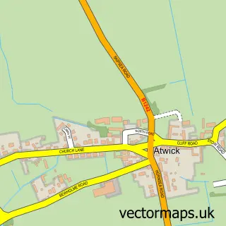
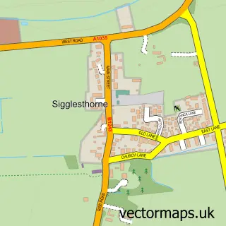
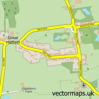
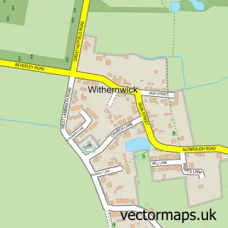
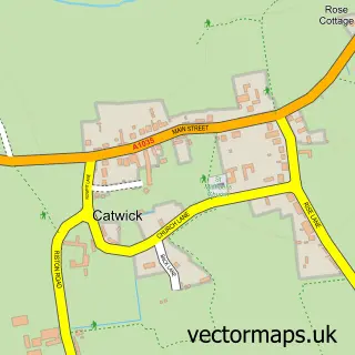
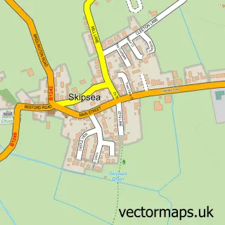
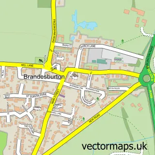
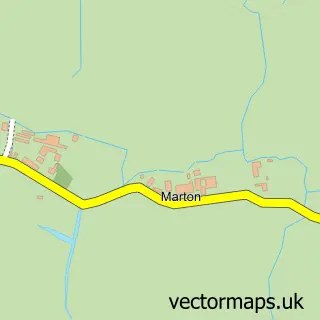
Nearby street map samples around Hornsea

More street maps in East Riding of Yorkshire
750 metre map area coverage
Boundary, postcode and point of interest information for the 750m x 750m rectangle centred on this sample map.
Boundaries containing map centre
Constituency: Bridlington and The Wolds Co Const
District: East Riding of Yorkshire
Icb: NHS Humber and North Yorkshire ICB
Parish: Hornsea CP
Police Force: humberside
Postcode District: HU18
Postcode Sector: HU18 1
Ward: North Holderness Ward
Nearby boundaries intersecting sample
No additional intersecting boundaries found.
Postcode coverage
POI category counts
Beauty Salon: 9
Hair Salon: 6
Banks: 5
Charity Organization: 5
Hotel: 5
Restaurant: 5
Barber: 4
Cafe: 4
Flowers And Gifts Shop: 4
Park: 4
Sample points of interest
- Hornsea East Yorkshire
- Bodymax Sports & Remedial Therapy
- Bodymax Sports and Remedial Massage Therapy Injury Rehabilitation Clinic
- Serenity Rose
- St Nicholas
- Gallery
- NumberNine.Marketplace
- The Gallery
- Park Lodge
- Spring House
- The Cooperative Food Hornsea (Swap) (ERF)
- Protective Waterproof Seat Covers
Create a larger editable map of Hornsea
This sample shows only a 750 metre area. To create a larger map of Hornsea, use our map builder to choose your own coverage area, add titles and download editable SVG, PDF and PNG files.
Create a custom map of Hornsea