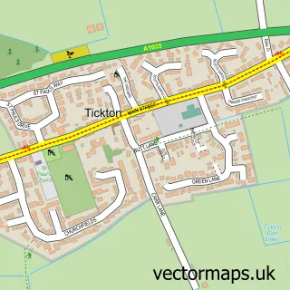
This Catwick street map is a detailed vector street map covering a 750m x 750m area. Select a larger area to create and download your own vector street map of Catwick.
The 750-metre map sample for Catwick covers 112 mapped buildings and approximately 8.3 km of road detail, of which 6 named roads are named. The immediate area includes 1 GP surgery within 2 miles and 4 MOT stations within 2 miles. The wider area around Catwick features 2 campsites within 2 miles. To create a larger or custom map of Catwick, the map builder lets you define your own coverage area and download editable SVG, PDF and PNG files.
Create a larger editable map of Catwick
Choose any area you need and generate a high-quality vector map instantly. Perfect for print, planning, design, business and personal use.

This Catwick street map in East Riding of Yorkshire is available as downloadable SVG, PDF and PNG map files, or as a printed map for planning, business, display, education, local information and design work. You can also create a larger custom map area using the map selector.
What this Catwick map sample shows
Catwick lies within Catwick Cp parish, part of Mid Holderness ward in the East Riding Of Yorkshire local authority area. The postcode geography for this area includes the HU postcode area, the HU17 postcode district and the HU17 5 postcode sector. Residents fall under the Nhs Humber And North Yorkshire Integrated Care Board for NHS services.
Local features near Catwick
Within 2 milesAmenities and services in and around Catwick.
Administrative and postcode information for Catwick
The local authority covering Catwick is East Riding Of Yorkshire, within the county of East Riding Of Yorkshire. The settlement lies within Mid Holderness ward and Catwick Cp civil parish. The HU17 postcode district and HU17 5 postcode sector serve the immediate area. NHS provision in the area is delivered through Hull University Teaching Hospitals Nhs Trust.
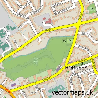
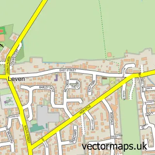
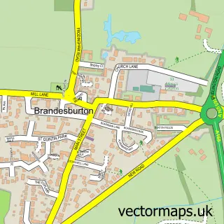
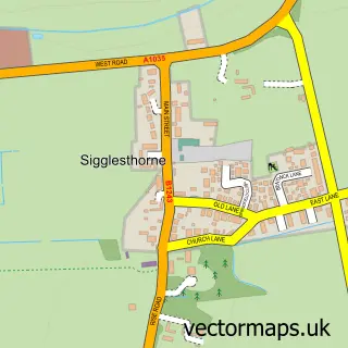
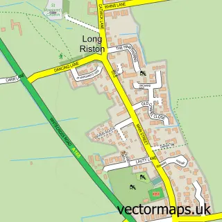
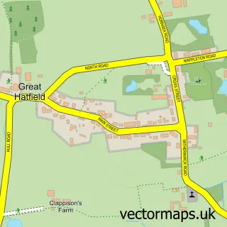
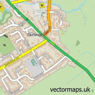
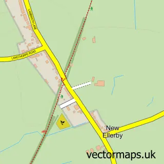
Nearby street map samples around Catwick

More street maps in East Riding of Yorkshire
750 metre map area coverage
Boundary, postcode and point of interest information for the 750m x 750m rectangle centred on this sample map.
Boundaries containing map centre
Constituency: Beverley and Holderness Co Const
District: East Riding of Yorkshire
Icb: NHS Humber and North Yorkshire ICB
Parish: Catwick CP
Police Force: humberside
Postcode District: HU17
Postcode Sector: HU17 5
Ward: Mid Holderness Ward
Nearby boundaries intersecting sample
Constituency: Bridlington and The Wolds Co Const
Parish: Brandesburton CP
Postcode District: HU11, YO25
Postcode Sector: HU11 5, YO25 8
Ward: East Wolds and Coastal Ward
Postcode coverage
POI category counts
Driving School: 2
Anglican Church: 1
Architectural Designer: 1
Automotive Repair: 1
Community Services Non Profits: 1
Cottage: 1
Freight And Cargo Service: 1
Storage Facility: 1
Sample points of interest
- St Michael
- Samuel Kendall Associates
- A E Blake
- Catwick Village Hall
- The Thankful Forge Holiday Cottage
- C Tyler Tuition
- Drivecoach Driving School
- Allen Smith
- F D Bird & Sons
Create a larger editable map of Catwick
This sample shows only a 750 metre area. To create a larger map of Catwick, use our map builder to choose your own coverage area, add titles and download editable SVG, PDF and PNG files.
Create a custom map of Catwick