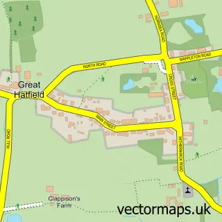
This Long Riston street map is a detailed vector street map covering a 750m x 750m area. Select a larger area to create and download your own vector street map of Long Riston.
The 750-metre map sample for Long Riston covers 234 mapped buildings and approximately 24.5 km of road detail, of which 21 named roads are named. The immediate area includes 1 school, 1 GP surgery within 2 miles and 1 pub. The wider area around Long Riston features 2 tourism points of interest and 1 food and drink venue. To create a larger or custom map of Long Riston, the map builder lets you define your own coverage area and download editable SVG, PDF and PNG files.
Create a larger editable map of Long Riston
Choose any area you need and generate a high-quality vector map instantly. Perfect for print, planning, design, business and personal use.

This Long Riston street map in East Riding of Yorkshire is available as downloadable SVG, PDF and PNG map files, or as a printed map for planning, business, display, education, local information and design work. You can also create a larger custom map area using the map selector.
What this Long Riston map sample shows
Long Riston lies within Riston Cp parish, part of Mid Holderness ward in the East Riding Of Yorkshire local authority area. The postcode geography for this area includes the HU postcode area, the HU11 postcode district and the HU11 5 postcode sector. Residents fall under the Nhs Humber And North Yorkshire Integrated Care Board for NHS services.
Local features near Long Riston
Within 2 milesAmenities and services in and around Long Riston.
Administrative and postcode information for Long Riston
Long Riston lies within Riston Cp parish, part of Mid Holderness ward in the East Riding Of Yorkshire local authority area. The postcode geography for this area includes the HU postcode area, the HU11 postcode district and the HU11 5 postcode sector. Residents fall under the Nhs Humber And North Yorkshire Integrated Care Board for NHS services.
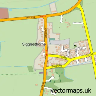
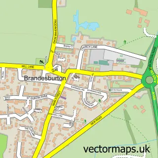
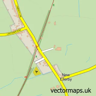
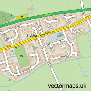
Nearby street map samples around Long Riston

More street maps in East Riding of Yorkshire
750 metre map area coverage
Boundary, postcode and point of interest information for the 750m x 750m rectangle centred on this sample map.
Boundaries containing map centre
Constituency: Beverley and Holderness Co Const
District: East Riding of Yorkshire
Icb: NHS Humber and North Yorkshire ICB
Parish: Riston CP
Police Force: humberside
Postcode District: HU11
Postcode Sector: HU11 5
Ward: Mid Holderness Ward
Nearby boundaries intersecting sample
No additional intersecting boundaries found.
Postcode coverage
POI category counts
Building Supply Store: 2
Church Cathedral: 2
Electrician: 2
Gym: 2
Brake Service And Repair: 1
Campground: 1
Handyman: 1
Landmark And Historical Building: 1
Landscaping: 1
Pub: 1
Sample points of interest
- MD Motors
- Jne Electrical Contracts Limited
- PJPS Construction
- Westfield Farm Camping
- Long Riston, St Margaret
- St Margaret's Church
- J.F.Neill Electrical
- JNE Electrical contracts LTD
- Fundamental Fitness
- Village Hall
- Iain's Handyman Services
- Riston
Create a larger editable map of Long Riston
This sample shows only a 750 metre area. To create a larger map of Long Riston, use our map builder to choose your own coverage area, add titles and download editable SVG, PDF and PNG files.
Create a custom map of Long Riston