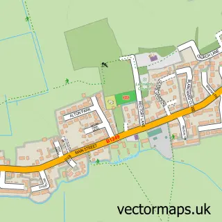
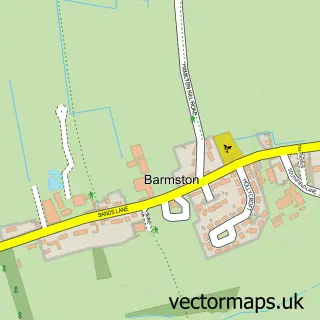
This Atwick street map is a detailed vector street map covering a 750m x 750m area. Select a larger area to create and download your own vector street map of Atwick.
The 750-metre map sample for Atwick covers 128 mapped buildings and approximately 9.1 km of road detail, of which 9 named roads are named. The immediate area includes 1 pub. The wider area around Atwick features 2 tourism points of interest, 1 food and drink venue and 2 campsites within 2 miles. To create a larger or custom map of Atwick, the map builder lets you define your own coverage area and download editable SVG, PDF and PNG files.
Create a larger editable map of Atwick
Choose any area you need and generate a high-quality vector map instantly. Perfect for print, planning, design, business and personal use.

This Atwick street map in East Riding of Yorkshire is available as downloadable SVG, PDF and PNG map files, or as a printed map for planning, business, display, education, local information and design work. You can also create a larger custom map area using the map selector.
What this Atwick map sample shows
Atwick lies within Atwick Cp parish, part of North Holderness ward in the East Riding Of Yorkshire local authority area. The postcode geography for this area includes the YO postcode area, the YO25 postcode district and the YO25 8 postcode sector. Residents fall under the Nhs Humber And North Yorkshire Integrated Care Board for NHS services.
Local features near Atwick
Within 2 milesAmenities and services in and around Atwick.
Administrative and postcode information for Atwick
Atwick lies within Atwick Cp parish, part of North Holderness ward in the East Riding Of Yorkshire local authority area. The postcode geography for this area includes the YO postcode area, the YO25 postcode district and the YO25 8 postcode sector. Residents fall under the Nhs Humber And North Yorkshire Integrated Care Board for NHS services.
Nearby street map samples around Atwick

More street maps in East Riding of Yorkshire
750 metre map area coverage
Boundary, postcode and point of interest information for the 750m x 750m rectangle centred on this sample map.
Boundaries containing map centre
Constituency: Bridlington and The Wolds Co Const
District: East Riding of Yorkshire
Icb: NHS Humber and North Yorkshire ICB
Parish: Atwick CP
Police Force: humberside
Postcode District: YO25
Postcode Sector: YO25 8
Ward: North Holderness Ward
Nearby boundaries intersecting sample
No additional intersecting boundaries found.
Postcode coverage
POI category counts
Antique Store: 2
Bar: 2
Campground: 2
Community Center: 1
Driving School: 1
Eat And Drink: 1
Home Service: 1
Pub: 1
Sample points of interest
- Antiques - Reclaimed
- Antiques-reclaimed.co.uk/Atwicks own salvage hunters
- Black horse inn Atwick
- The Old Barn Inn
- Church View Campsite
- Four Acres Caravan Park
- Atwick Village Hall
- Jacqui Clark Driving Tuition
- The Egg Shed Farm Shop
- Clearview
- The Blackhorse inn
Create a larger editable map of Atwick
This sample shows only a 750 metre area. To create a larger map of Atwick, use our map builder to choose your own coverage area, add titles and download editable SVG, PDF and PNG files.
Create a custom map of Atwick