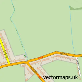
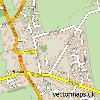
This Sproatley street map is a detailed vector street map covering a 750m x 750m area. Select a larger area to create and download your own vector street map of Sproatley.
The 750-metre map sample for Sproatley covers 397 mapped buildings and approximately 18.9 km of road detail, of which 20 named roads are named. The immediate area includes 1 school, 2 pubs and 1 MOT station within 2 miles. The wider area around Sproatley features 1 tourism point of interest, 3 food and drink venues and 2 campsites within 2 miles. To create a larger or custom map of Sproatley, the map builder lets you define your own coverage area and download editable SVG, PDF and PNG files.
Create a larger editable map of Sproatley
Choose any area you need and generate a high-quality vector map instantly. Perfect for print, planning, design, business and personal use.

This Sproatley street map in East Riding of Yorkshire is available as downloadable SVG, PDF and PNG map files, or as a printed map for planning, business, display, education, local information and design work. You can also create a larger custom map area using the map selector.
What this Sproatley map sample shows
Sproatley lies within Sproatley Cp parish, part of Mid Holderness ward in the East Riding Of Yorkshire local authority area. The postcode geography for this area includes the HU postcode area, the HU11 postcode district and the HU11 4 postcode sector. Residents fall under the Nhs Humber And North Yorkshire Integrated Care Board for NHS services.
Local features near Sproatley
Within 2 milesAmenities and services in and around Sproatley.
Administrative and postcode information for Sproatley
Sproatley lies within Sproatley Cp parish, part of Mid Holderness ward in the East Riding Of Yorkshire local authority area. The postcode geography for this area includes the HU postcode area, the HU11 postcode district and the HU11 4 postcode sector. Residents fall under the Nhs Humber And North Yorkshire Integrated Care Board for NHS services.
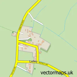
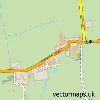
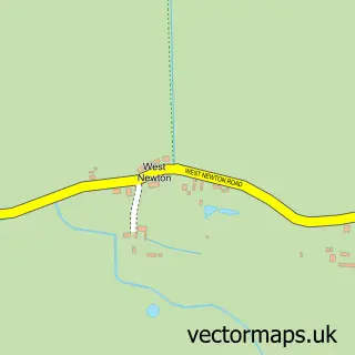
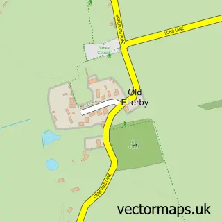
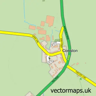
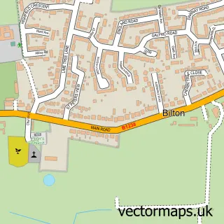
Nearby street map samples around Sproatley

More street maps in East Riding of Yorkshire
750 metre map area coverage
Boundary, postcode and point of interest information for the 750m x 750m rectangle centred on this sample map.
Boundaries containing map centre
Constituency: Beverley and Holderness Co Const
District: East Riding of Yorkshire
Icb: NHS Humber and North Yorkshire ICB
Parish: Sproatley CP
Police Force: humberside
Postcode District: HU11
Postcode Sector: HU11 4
Ward: Mid Holderness Ward
Nearby boundaries intersecting sample
No additional intersecting boundaries found.
Postcode coverage
POI category counts
Pub: 2
Attractions And Activities: 1
Beach Equipment Rentals: 1
Beauty And Spa: 1
Building Supply Store: 1
Bus Service: 1
Business Management Services: 1
Cafe: 1
Carpenter: 1
Charity Organization: 1
Sample points of interest
- Sproatley Playing Fields
- Sat Tech
- D'Luxe Hair & Beauty
- Keelty Plumbing & Heating Ltd
- Silverline Airport Transfers
- Land Of Green Ginger Design Ltd.
- Kristoffs Cafe, Bar & Restaurant
- C J Shaw
- CPRE East Riding
- The Cottage Hair & Beauty Salon
- Burton Constable Holiday Park & Arboretum
- Ccac
Create a larger editable map of Sproatley
This sample shows only a 750 metre area. To create a larger map of Sproatley, use our map builder to choose your own coverage area, add titles and download editable SVG, PDF and PNG files.
Create a custom map of Sproatley