Vector Maps logo
Home Why it works Popular maps Districts Samples Customizer Create Your Map
VectorMaps.uk
Home Popular maps Districts Samples Customizer Create Your Map Privacy Disclaimer
Home / UK Maps / East Riding of Yorkshire / Preston Map

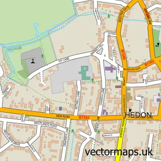
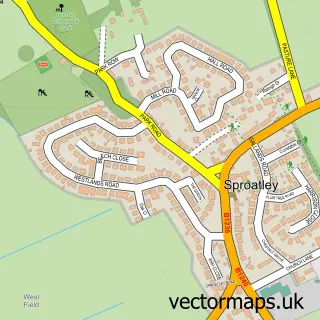
This Preston street map is a detailed vector street map covering a 750m x 750m area. Select a larger area to create and download your own vector street map of Preston.

Preston is a village in East Riding Of Yorkshire, in the Yorkshire And The Humber of England. Historically, the area formed part of Yorkshire. The settlement falls within the Beverley And Holderness parliamentary constituency. It is served by the HU12 pos

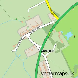
The 750-metre map sample for Preston covers 578 mapped buildings and approximately 15.4 km of road detail, of which 34 named roads are named. The immediate area includes 3 pubs and 3 MOT stations within 2 miles. The wider area around Preston features 3 food and drink venues, 1 hotel and 1 campsite within 2 miles. To create a larger or custom map of Preston, the map builder lets you define your own coverage area and download editable SVG, PDF and PNG files.

578Buildings
15.44 kmRoads
34Named roads
4,817Residents within 2 miles
Create your own

Create a larger editable map of Preston

Choose any area you need and generate a high-quality vector map instantly. Perfect for print, planning, design, business and personal use.

Choose any location
Editable SVG files
Any size up to A0
PDF, PNG & more
Instant download
High quality guaranteed
Create My Custom Map
Secure, private & no credit card required
Preston Vector Street Map
750m Sample
Preston vector street map sample showing roads, buildings and local features in a 750 metre preview area
Buy Preston Map Print from £12.95 Buy Preston Digital Map from £6

This Preston street map in East Riding of Yorkshire is available as downloadable SVG, PDF and PNG map files, or as a printed map for planning, business, display, education, local information and design work. You can also create a larger custom map area using the map selector.

What this Preston map sample shows

Preston lies within Preston Cp parish, part of South West Holderness ward in the East Riding Of Yorkshire local authority area. The postcode geography for this area includes the HU postcode area, the HU12 postcode district and the HU12 8 postcode sector. Residents fall under the Nhs Humber And North Yorkshire Integrated Care Board for NHS services.

Local features near Preston

Within 2 miles

Amenities and services in and around Preston.

1 Campsites within 2 miles
3 MOT stations within 2 miles
3 Food & drink
3 Pubs
1 Hotels

Counts are approximate and based on publicly available data.

Administrative and postcode information for Preston

Preston lies within Preston Cp parish, part of South West Holderness ward in the East Riding Of Yorkshire local authority area. The postcode geography for this area includes the HU postcode area, the HU12 postcode district and the HU12 8 postcode sector. Residents fall under the Nhs Humber And North Yorkshire Integrated Care Board for NHS services.

Parish Preston CP
Ward South West Holderness
District / local authority East Riding of Yorkshire
County East Riding of Yorkshire
Historic county Yorkshire
Postcode district HU12
Postcode sector HU12 8
Parliamentary constituency Beverley and Holderness
Region Yorkshire and the Humber
Country England

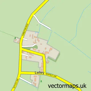
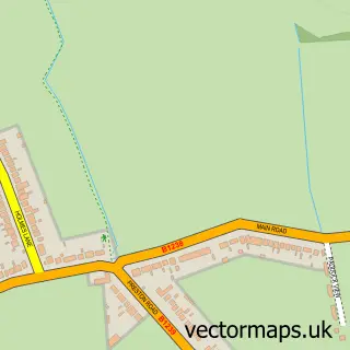
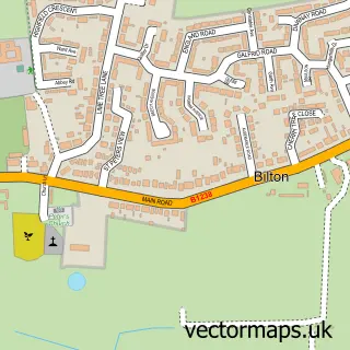
Nearby street map samples around Preston

Street map sample of Hedon, East Riding of Yorkshire Hedon Town - East Riding of Yorkshire - 1.2 miles Street map sample of Hull, East Riding of Yorkshire Hull City - East Riding of Yorkshire - 5.9 miles Street map sample of Lelley, East Riding of Yorkshire Lelley Village - East Riding of Yorkshire - 1.8 miles Street map sample of Wyton, East Riding of Yorkshire Wyton Village - East Riding of Yorkshire - 2.1 miles Street map sample of Bilton, East Riding of Yorkshire Bilton Village - East Riding of Yorkshire - 2.3 miles Street map sample of Sproatley, East Riding of Yorkshire Sproatley Village - East Riding of Yorkshire - 2.5 miles Street map sample of Burstwick, East Riding of Yorkshire Burstwick Village - East Riding of Yorkshire - 2.9 miles Street map sample of Paull, East Riding of Yorkshire Paull Village - East Riding of Yorkshire - 3.0 miles Street map sample of Thorngumbald, East Riding of Yorkshire Thorngumbald Village - East Riding of Yorkshire - 3.0 miles Street map sample of Ganstead, East Riding of Yorkshire Ganstead Village - East Riding of Yorkshire - 3.4 miles

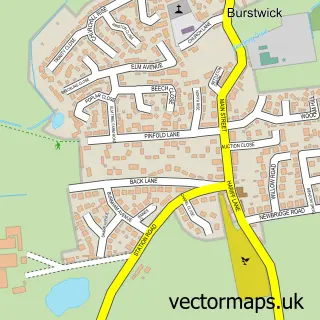
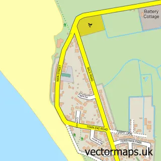
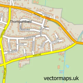
More street maps in East Riding of Yorkshire

Street map sample of Hedon, East Riding of Yorkshire Hedon Town - 1.2 miles Street map sample of Lelley, East Riding of Yorkshire Lelley Village - 1.8 miles Street map sample of Wyton, East Riding of Yorkshire Wyton Village - 2.1 miles Street map sample of Bilton, East Riding of Yorkshire Bilton Village - 2.3 miles Street map sample of Sproatley, East Riding of Yorkshire Sproatley Village - 2.5 miles

750 metre map area coverage

Boundary, postcode and point of interest information for the 750m x 750m rectangle centred on this sample map.

Boundaries containing map centre

Constituency: Beverley and Holderness Co Const

District: East Riding of Yorkshire

Icb: NHS Humber and North Yorkshire ICB

Parish: Preston CP

Police Force: humberside

Postcode District: HU12

Postcode Sector: HU12 8

Ward: South West Holderness Ward

Nearby boundaries intersecting sample

No additional intersecting boundaries found.

Postcode coverage

HU12 HU12 8

POI category counts

Pub: 3

Convenience Store: 2

Anglican Church: 1

Auto Detailing: 1

Bakery: 1

Barber: 1

Butcher Shop: 1

Chinese Restaurant: 1

Church Cathedral: 1

Community Center: 1

Sample points of interest

  • All Saints, Preston Anglican Church
  • Jj Valeting And Detailing Auto Detailing
  • Lucy Beal Cakery Bakery
  • Paul's Barber Shop Barber
  • Alan Jones Butcher Shop
  • Grand Ruby Chinese Restaurant
  • All Saints Church Church Cathedral
  • Preston Community Hall Community Center
  • Londis Convenience Store
  • Preston Local Store Limited Convenience Store
  • Preston Primary School Elementary School
  • Enviroflor Flooring Contractors

Create a larger editable map of Preston

This sample shows only a 750 metre area. To create a larger map of Preston, use our map builder to choose your own coverage area, add titles and download editable SVG, PDF and PNG files.

Create a custom map of Preston

Phone 01751 473136 | Copyright Vectormaps.uk 2026

Samples Customizer Privacy Disclaimer
Preston Vector Street Map
Preston enlarged street map sample showing a 750 metre preview area