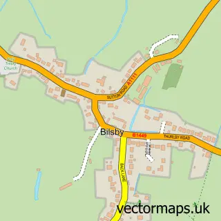
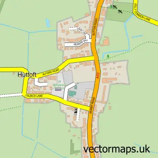
This Alford street map is a detailed vector street map covering a 750m x 750m area. Select a larger area to create and download your own vector street map of Alford.
The 750-metre map sample for Alford covers 541 mapped buildings and approximately 16.4 km of road detail, of which 40 named roads are named. The immediate area includes 1 primary school and 1 secondary school, 1 GP surgery, 2 pubs and 3 MOT stations within 2 miles. The wider area around Alford features 2 tourism points of interest, 6 food and drink venues and 3 hotels. To create a larger or custom map of Alford, the map builder lets you define your own coverage area and download editable SVG, PDF and PNG files.
Create a larger editable map of Alford
Choose any area you need and generate a high-quality vector map instantly. Perfect for print, planning, design, business and personal use.

This Alford street map in Lincolnshire is available as downloadable SVG, PDF and PNG map files, or as a printed map for planning, business, display, education, local information and design work. You can also create a larger custom map area using the map selector.
What this Alford map sample shows
Alford lies within Alford Cp parish, part of Alford ward in the East Lindsey District local authority area. The postcode geography for this area includes the LN postcode area, the LN13 postcode district and the LN13 9 postcode sector. Residents fall under the Nhs Lincolnshire Integrated Care Board for NHS services.
Local features near Alford
Within 2 milesAmenities and services in and around Alford.
Administrative and postcode information for Alford
Alford lies within Alford Cp parish, part of Alford ward in the East Lindsey District local authority area. The postcode geography for this area includes the LN postcode area, the LN13 postcode district and the LN13 9 postcode sector. Residents fall under the Nhs Lincolnshire Integrated Care Board for NHS services.
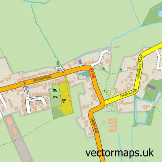
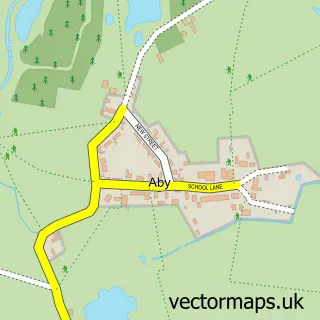
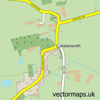
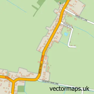
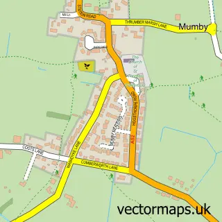
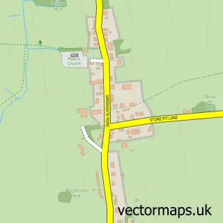
Nearby street map samples around Alford


More street maps in Lincolnshire
750 metre map area coverage
Boundary, postcode and point of interest information for the 750m x 750m rectangle centred on this sample map.
Boundaries containing map centre
Constituency: Louth and Horncastle Co Const
County: Lincolnshire County
District: East Lindsey District
Icb: NHS Lincolnshire ICB
Parish: Alford CP
Police Force: lincolnshire
Postcode District: LN13
Postcode Sector: LN13 9
Ward: Alford Ward
Nearby boundaries intersecting sample
Postcode Sector: LN13 0
Postcode coverage
POI category counts
Convenience Store: 10
Flowers And Gifts Shop: 7
Arts And Crafts: 5
Church Cathedral: 5
Banks: 3
Beauty And Spa: 3
Charity Organization: 3
Funeral Services And Cemeteries: 3
Furniture Store: 3
Hair Salon: 3
Sample points of interest
- S S Crome Design
- Alkuon Life Solutions
- Fagins Den
- Grays
- Alford Craft Market
- Alford Pottery
- Craftmartins
- Handyman DIY
- The Wool Factory Ltd
- The Sycamores
- Callaby Store
- Derek Chapman Motor Body Repairs
Create a larger editable map of Alford
This sample shows only a 750 metre area. To create a larger map of Alford, use our map builder to choose your own coverage area, add titles and download editable SVG, PDF and PNG files.
Create a custom map of Alford