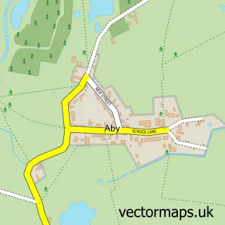
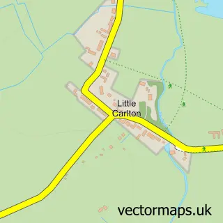
This Maltby Le Marsh street map is a detailed vector street map covering a 750m x 750m area. Select a larger area to create and download your own vector street map of Maltby Le Marsh.
The 750-metre map sample for Maltby Le Marsh covers 143 mapped buildings and approximately 5.6 km of road detail, of which 5 named roads are named. The wider area around Maltby Le Marsh features 2 tourism points of interest. To create a larger or custom map of Maltby Le Marsh, the map builder lets you define your own coverage area and download editable SVG, PDF and PNG files.
Create a larger editable map of Maltby Le Marsh
Choose any area you need and generate a high-quality vector map instantly. Perfect for print, planning, design, business and personal use.

This Maltby Le Marsh street map in Lincolnshire is available as downloadable SVG, PDF and PNG map files, or as a printed map for planning, business, display, education, local information and design work. You can also create a larger custom map area using the map selector.
What this Maltby Le Marsh map sample shows
Maltby Le Marsh lies within Maltby Le Marsh Cp parish, part of Withern & Theddlethorpe ward in the East Lindsey District local authority area. The postcode geography for this area includes the LN postcode area, the LN13 postcode district and the LN13 0 postcode sector. Residents fall under the Nhs Lincolnshire Integrated Care Board for NHS services.
Local features near Maltby Le Marsh
Within 2 milesAmenities and services in and around Maltby Le Marsh.
Administrative and postcode information for Maltby Le Marsh
Maltby Le Marsh lies within Maltby Le Marsh Cp parish, part of Withern & Theddlethorpe ward in the East Lindsey District local authority area. The postcode geography for this area includes the LN postcode area, the LN13 postcode district and the LN13 0 postcode sector. Residents fall under the Nhs Lincolnshire Integrated Care Board for NHS services.
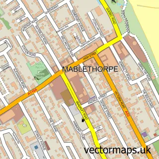
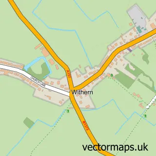
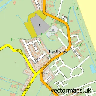
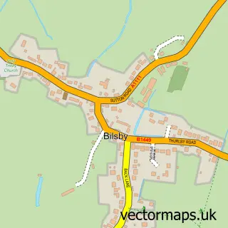
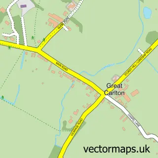
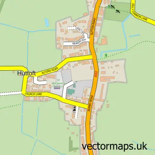
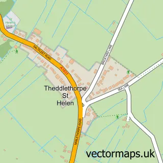
Nearby street map samples around Maltby Le Marsh

More street maps in Lincolnshire
750 metre map area coverage
Boundary, postcode and point of interest information for the 750m x 750m rectangle centred on this sample map.
Boundaries containing map centre
Constituency: Louth and Horncastle Co Const
County: Lincolnshire County
District: East Lindsey District
Icb: NHS Lincolnshire ICB
Parish: Maltby Le Marsh CP
Police Force: lincolnshire
Postcode District: LN13
Postcode Sector: LN13 0
Ward: Withern & Theddlethorpe Ward
Nearby boundaries intersecting sample
No additional intersecting boundaries found.
Postcode coverage
POI category counts
Attractions And Activities: 1
Bed And Breakfast: 1
Campground: 1
Hunting And Fishing Supplies: 1
Post Office: 1
Resort: 1
Sports And Recreation Venue: 1
Sample points of interest
- Tipi Circles - Maltby Le Marsh
- Old Mill House
- The Stables caravan site
- Oham Lakes
- Post Office-Huttoft
- Grange Farm Park
- The Fitness Studio Maltby
Create a larger editable map of Maltby Le Marsh
This sample shows only a 750 metre area. To create a larger map of Maltby Le Marsh, use our map builder to choose your own coverage area, add titles and download editable SVG, PDF and PNG files.
Create a custom map of Maltby Le Marsh