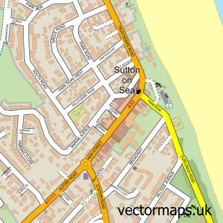
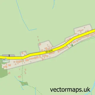
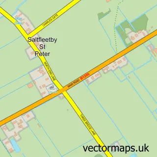
This Trusthorpe street map is a detailed vector street map covering a 750m x 750m area. Select a larger area to create and download your own vector street map of Trusthorpe.
The 750-metre map sample for Trusthorpe covers 231 mapped buildings and approximately 8.7 km of road detail, of which 13 named roads are named. The immediate area includes 1 GP surgery within 2 miles and 5 MOT stations within 2 miles. The wider area around Trusthorpe features 2 tourism points of interest, 2 hotels and 3 campsites within 2 miles. To create a larger or custom map of Trusthorpe, the map builder lets you define your own coverage area and download editable SVG, PDF and PNG files.
Create a larger editable map of Trusthorpe
Choose any area you need and generate a high-quality vector map instantly. Perfect for print, planning, design, business and personal use.

This Trusthorpe street map in Lincolnshire is available as downloadable SVG, PDF and PNG map files, or as a printed map for planning, business, display, education, local information and design work. You can also create a larger custom map area using the map selector.
What this Trusthorpe map sample shows
Trusthorpe lies within Mablethorpe And Sutton Cp parish, part of Mablethorpe ward in the East Lindsey District local authority area. The postcode geography for this area includes the LN postcode area, the LN12 postcode district and the LN12 2 postcode sector. Residents fall under the Nhs Lincolnshire Integrated Care Board for NHS services.
Local features near Trusthorpe
Within 2 milesAmenities and services in and around Trusthorpe.
Administrative and postcode information for Trusthorpe
Trusthorpe lies within Mablethorpe And Sutton Cp parish, part of Mablethorpe ward in the East Lindsey District local authority area. The postcode geography for this area includes the LN postcode area, the LN12 postcode district and the LN12 2 postcode sector. Residents fall under the Nhs Lincolnshire Integrated Care Board for NHS services.
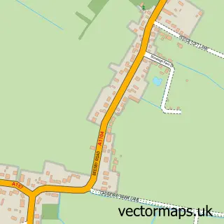
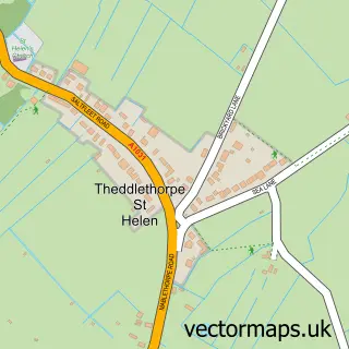
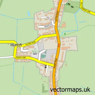
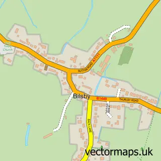
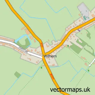
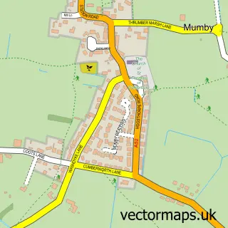
Nearby street map samples around Trusthorpe

More street maps in Lincolnshire
750 metre map area coverage
Boundary, postcode and point of interest information for the 750m x 750m rectangle centred on this sample map.
Boundaries containing map centre
Constituency: Louth and Horncastle Co Const
County: Lincolnshire County
District: East Lindsey District
Icb: NHS Lincolnshire ICB
Parish: Mablethorpe and Sutton CP
Police Force: lincolnshire
Postcode District: LN12
Postcode Sector: LN12 2
Ward: Mablethorpe Ward
Nearby boundaries intersecting sample
No additional intersecting boundaries found.
Postcode coverage
POI category counts
Campground: 2
Holiday Rental Home: 2
Bar: 1
Beer Bar: 1
Building Supply Store: 1
Church Cathedral: 1
Circus: 1
Community Services Non Profits: 1
Convenience Store: 1
Cottage: 1
Sample points of interest
- Seaside Holiday Village Trusthorpe
- Dreams Bar at Trusville
- Willson's Glass-Framing-Timber Ltd.
- Greenfield Caravan Park
- Seacroft Holiday Estate
- St Peter's Church
- Russells International Circus
- Trusthorpe Village Hall Pantomime
- Premier
- Breakwater Beach Holidays - Cottages & Caravans Trusthorpe
- Greenfield Stores
- Jewson
Create a larger editable map of Trusthorpe
This sample shows only a 750 metre area. To create a larger map of Trusthorpe, use our map builder to choose your own coverage area, add titles and download editable SVG, PDF and PNG files.
Create a custom map of Trusthorpe