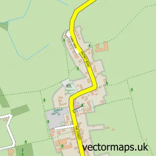
This All Cannings street map is a detailed vector street map covering a 750m x 750m area. Select a larger area to create and download your own vector street map of All Cannings.
The 750-metre map sample for All Cannings covers 202 mapped buildings and approximately 8.0 km of road detail, of which 13 named roads are named. The immediate area includes 1 school, 1 pub and 1 MOT station within 2 miles. The wider area around All Cannings features 1 food and drink venue. To create a larger or custom map of All Cannings, the map builder lets you define your own coverage area and download editable SVG, PDF and PNG files.
Create a larger editable map of All Cannings
Choose any area you need and generate a high-quality vector map instantly. Perfect for print, planning, design, business and personal use.

This All Cannings street map in Wiltshire is available as downloadable SVG, PDF and PNG map files, or as a printed map for planning, business, display, education, local information and design work. You can also create a larger custom map area using the map selector.
What this All Cannings map sample shows
All Cannings lies within All Cannings Cp parish, part of Urchfont And The Cannings ward in the Wiltshire local authority area. The postcode geography for this area includes the SN postcode area, the SN10 postcode district and the SN10 3 postcode sector. Residents fall under the Nhs Bath And North East Somerset, Swindon And Wiltshire Integrated Care Board for NHS services.
Local features near All Cannings
Within 2 milesAmenities and services in and around All Cannings.
Administrative and postcode information for All Cannings
The local authority covering All Cannings is Wiltshire, within the county of Wiltshire. The settlement lies within Urchfont And The Cannings ward and All Cannings Cp civil parish. The SN10 postcode district and SN10 3 postcode sector serve the immediate area. NHS provision in the area is delivered through Salisbury Nhs Foundation Trust.
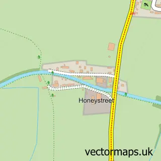
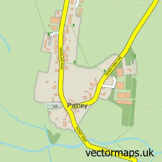
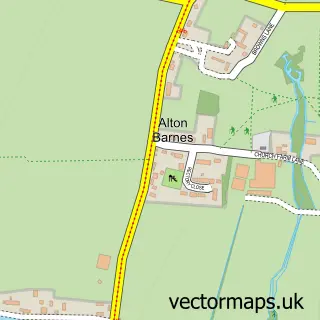
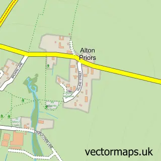
Nearby street map samples around All Cannings
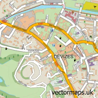

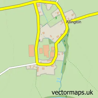
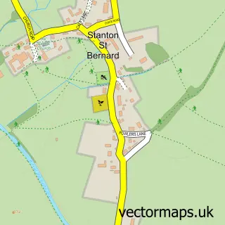
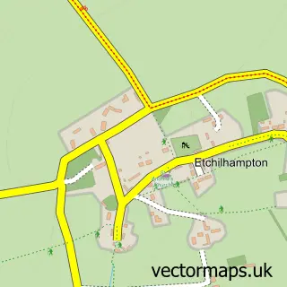
More street maps in Wiltshire
750 metre map area coverage
Boundary, postcode and point of interest information for the 750m x 750m rectangle centred on this sample map.
Boundaries containing map centre
Constituency: East Wiltshire Co Const
District: Wiltshire
Icb: NHS Bath and North East Somerset Swindon and Wiltshire ICB
Parish: All Cannings CP
Police Force: wiltshire
Postcode District: SN10
Postcode Sector: SN10 3
Nearby boundaries intersecting sample
No additional intersecting boundaries found.
Postcode coverage
POI category counts
Professional Services: 3
Photographer: 2
Anglican Church: 1
Arts And Crafts: 1
Business Manufacturing And Supply: 1
Cabin: 1
Caterer: 1
Church Cathedral: 1
Community Services Non Profits: 1
Convenience Store: 1
Sample points of interest
- All Cannings: All Saints
- AC Picture Framing
- Pots About Pottery
- Rendells Farm Holiday Cottages
- Perisa
- All Saints Church
- All Cannings Community Trust and Village Hall
- All Cannings Shop
- Chirton Pips Forest Pre-school CIO
- All Cannings Church of England Primary School
- Aura Studios
- Sarah-Jane Bullock
Create a larger editable map of All Cannings
This sample shows only a 750 metre area. To create a larger map of All Cannings, use our map builder to choose your own coverage area, add titles and download editable SVG, PDF and PNG files.
Create a custom map of All Cannings